MyTopo
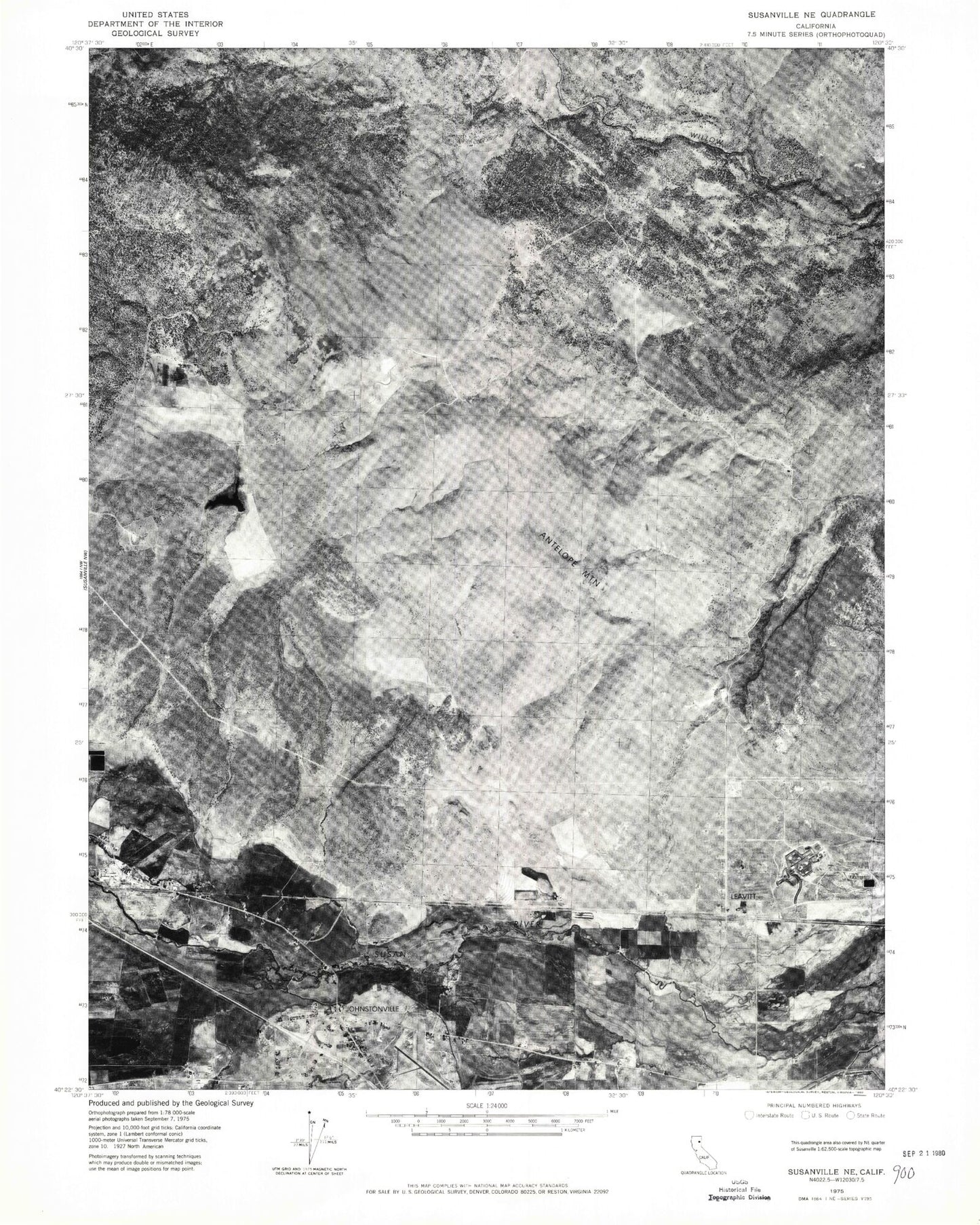
Classic USGS Johnstonville California 7.5'x7.5' Topo Map
Couldn't load pickup availability
Historical USGS topographic quad map of Johnstonville in the state of California. Map scale may vary for some years, but is generally around 1:24,000. Print size is approximately 24" x 27"
This quadrangle is in the following counties: Lassen.
The map contains contour lines, roads, rivers, towns, and lakes. Printed on high-quality waterproof paper with UV fade-resistant inks, and shipped rolled.
Contains the following named places: Antelope Mountain, Calif Cons Center 1-074 Dam, California Correctional Center, California Correctional Center High Desert State Prison Fire Department, California Highway Patrol Susanville, Gold Run Creek, Hidden Valley, High Desert State Prison, Johnstonville, Johnstonville Census Designated Place, Johnstonville Elementary School, KSUE-FM (Susanville), Lake Leavitt 236-002 Dam, Lassen Creek, Leavitt, Off Stream Reservoir, Peconom 1228 Dam, Rices Canyon, Riverside School, Sand Slough, Susan River Fire Protection District Station 3, Susanville Division, Susanville Municipal Airport