MyTopo
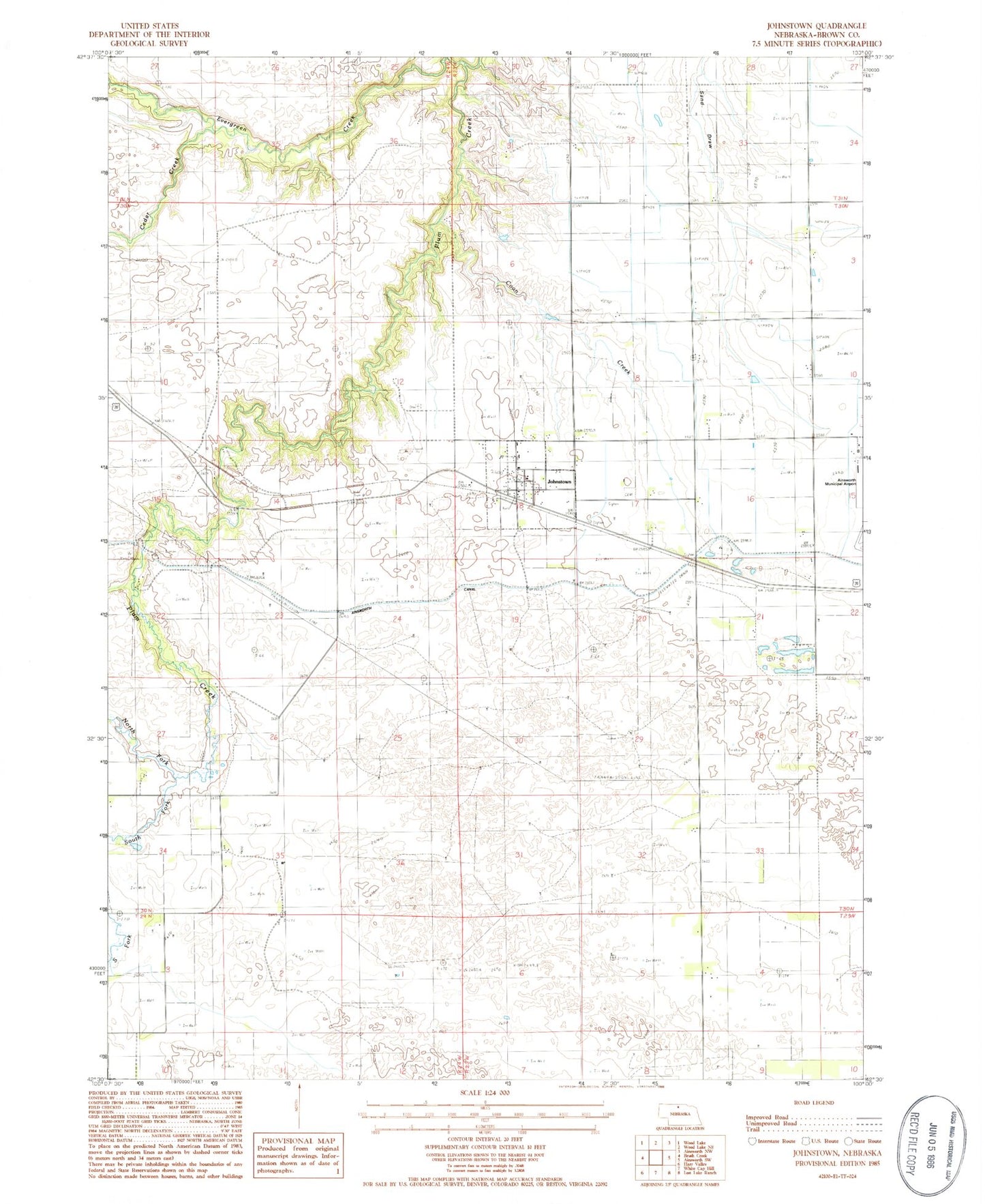
Classic USGS Johnstown Nebraska 7.5'x7.5' Topo Map
Couldn't load pickup availability
Historical USGS topographic quad map of Johnstown in the state of Nebraska. Map scale may vary for some years, but is generally around 1:24,000. Print size is approximately 24" x 27"
This quadrangle is in the following counties: Brown.
The map contains contour lines, roads, rivers, towns, and lakes. Printed on high-quality waterproof paper with UV fade-resistant inks, and shipped rolled.
Contains the following named places: Ainsworth Regional Airport, Arent Ranch, Bergen Ranch, Berry Park, Boyd Ranch, Cedar Creek, Coon Creek, Dry Creek, East Woodlawn Cemetery, Edwards Ranch, Evergreen Creek, Johnstown, Johnstown Post Office, Johnstown Public School, Johnstown Volunteer Fire Department, Lakeland Sod High School Historical Marker, Leach Ranch, North Fork Plum Creek, Pelc Ranch, School Number 84 North, School Number 84 South, Shaw Ranch, South Fork Plum Creek, United Methodist Church, Village of Johnstown, Woodlawn Cemetery, ZIP Code: 69214