MyTopo
Classic USGS Johnstown Ohio 7.5'x7.5' Topo Map
Couldn't load pickup availability
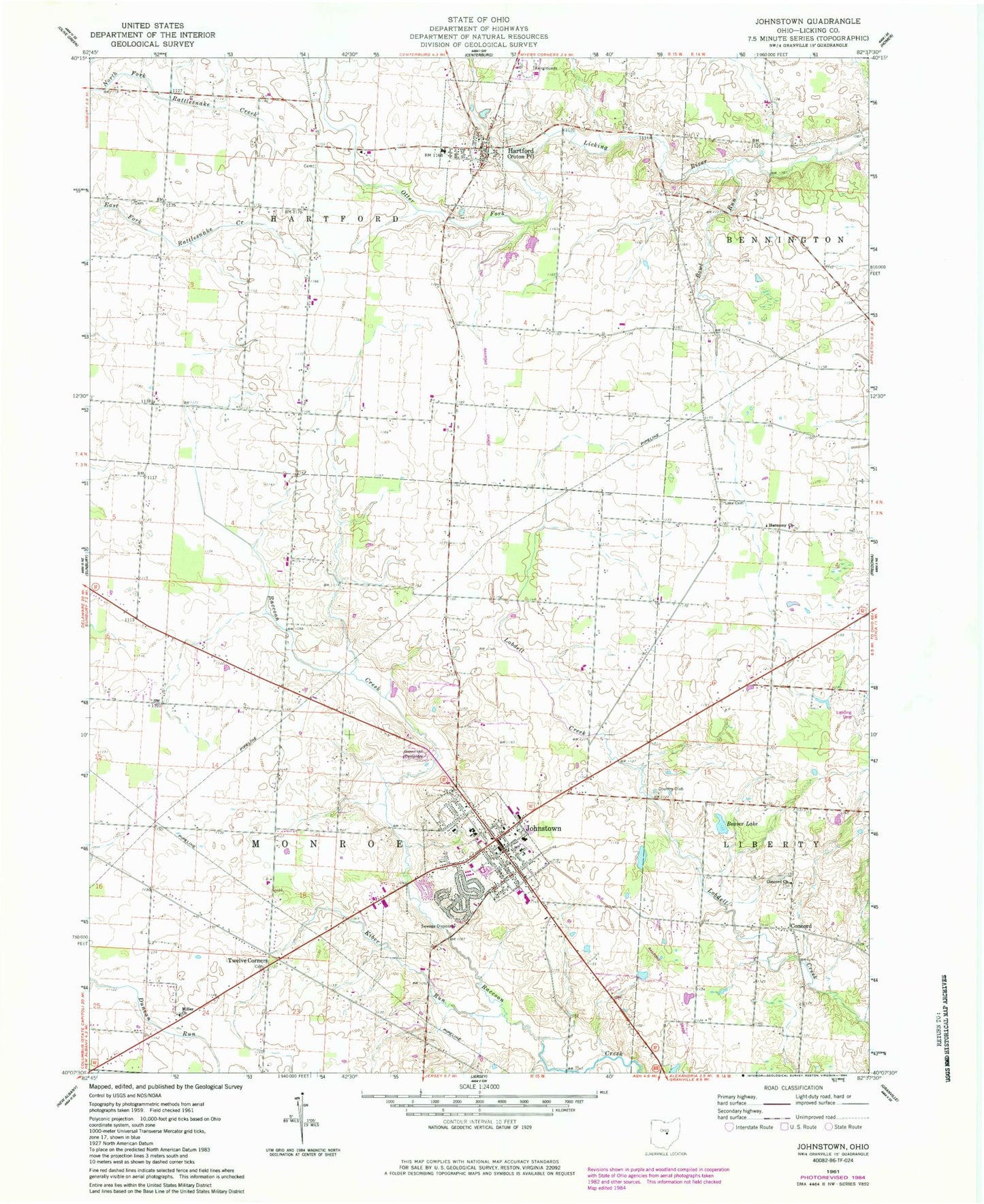
Historical USGS topographic quad map of Johnstown in the state of Ohio. Map scale may vary for some years, but is generally around 1:24,000. Print size is approximately 24" x 27"
This quadrangle is in the following counties: Licking.
The map contains contour lines, roads, rivers, towns, and lakes. Printed on high-quality waterproof paper with UV fade-resistant inks, and shipped rolled.
Contains the following named places: Beaver Lake, Belle Hall Bridge, Bigelow Cemetery, Bluejay School, Bosveld Library On Applied Poetry, Bowl Run, Bowl Run School, Braeburn Heliport, Buttercrest Jersey Farm, Channel Cemetery, Clark School, Concord, Concord Cemetery, Concord Church, Conway School, Cramer Dairy Farm, Croton, Croton Post Office, Croton United Methodist Church, Dutch Cross School, Foster School, Gould Cemetery, Green, Green Hill Cemetery, Green Post Office, Harmony Church, Hartford Cemetery, Hartford Volunteer Fire Department, Hill School, Johnstown, Johnstown Police Department, Johnstown Post Office, Johnstown-Monroe High School, Kiber Run, Lake Cemetery, McKnight Airport, Miller Church, Miller School, Monroe Township Fire Department, Morris Woods State Nature Preserve, Northridge Hartford Elementary School, Ogilvie School, Ohio Poetry Therapy Center, Oregon Elementary School, P E Grubb Lake, P E Grubb Lake Dam, Patterson Cemetery, Perfect School, Rice School, Searfoss Elementary School, Sinkey School, Taylor School, Township of Hartford, Township of Monroe, Tuller Cemetery, Twelve Corners, Village of Hartford, Village of Johnstown, Warner School, Wesley Chapel, White School, Willis C Adams Middle School, Willison Corners, WXLE-FM (Johnstown), ZIP Codes: 43013, 43031


