MyTopo
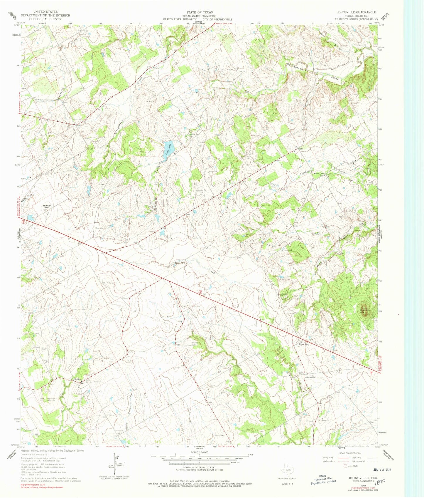
Classic USGS Johnsville Texas 7.5'x7.5' Topo Map
Couldn't load pickup availability
Historical USGS topographic quad map of Johnsville in the state of Texas. Map scale may vary for some years, but is generally around 1:24,000. Print size is approximately 24" x 27"
This quadrangle is in the following counties: Erath.
The map contains contour lines, roads, rivers, towns, and lakes. Printed on high-quality waterproof paper with UV fade-resistant inks, and shipped rolled.
Contains the following named places: Aycock Cemetery, Bunker Hill, Cross Lake, Gross Dam, Hatchett Cemetery, Humberson Cemetery, Johnsville, Lone Mountain, Mitchell Creek Church, Pass Lake, Pass Lake Dam, Pecan Branch, Pony Creek Cemetery, Pony Creek Church, Selden, Selden Volunteer Fire Department, Three Way, Warren Lake Number 1, Warren Lake Number 1 Dam, Warren Lake Number 2, Warren Lake Number 2 Dam