MyTopo
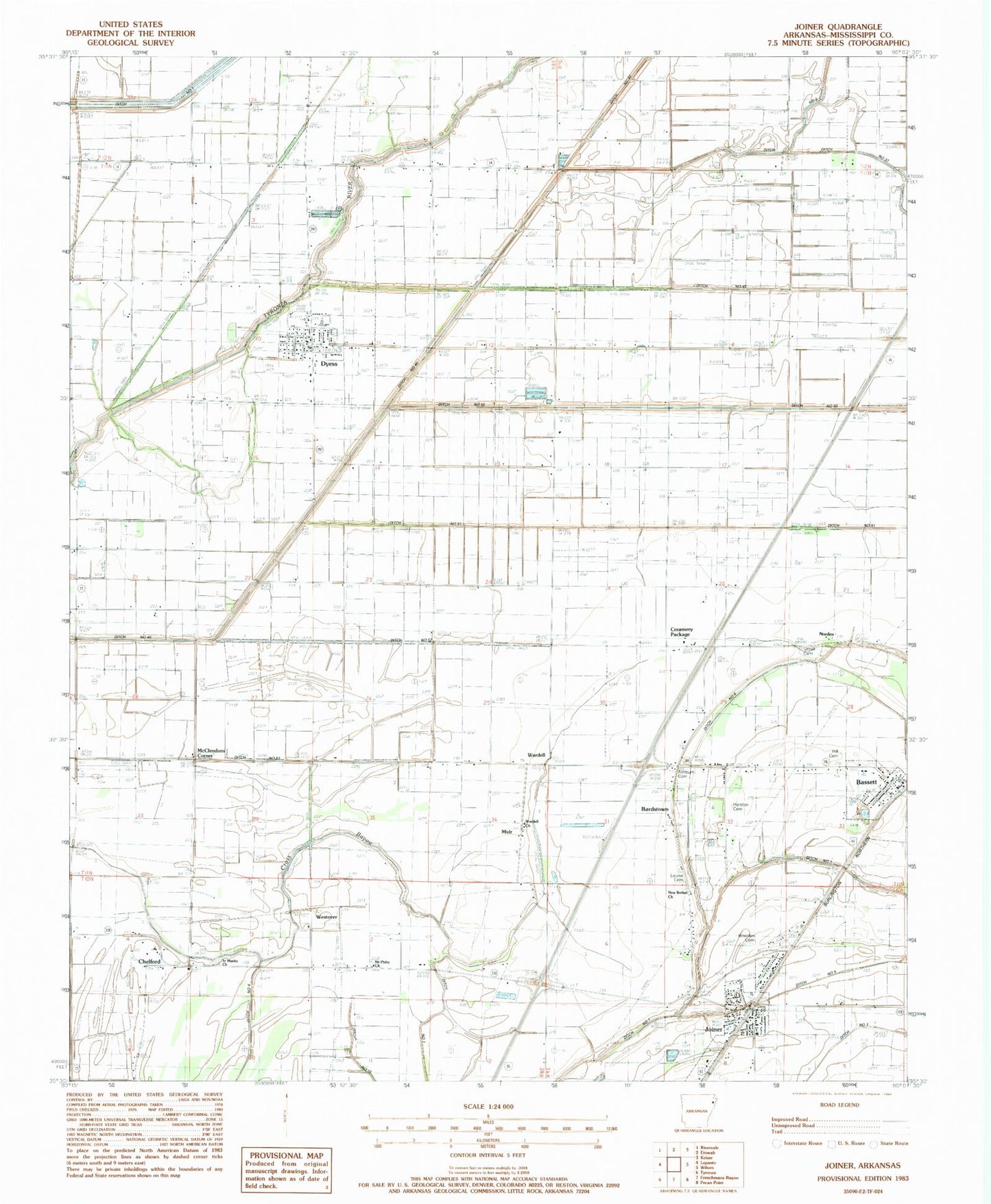
Classic USGS Joiner Arkansas 7.5'x7.5' Topo Map
Couldn't load pickup availability
Historical USGS topographic quad map of Joiner in the state of Arkansas. Map scale may vary for some years, but is generally around 1:24,000. Print size is approximately 24" x 27"
This quadrangle is in the following counties: Mississippi.
The map contains contour lines, roads, rivers, towns, and lakes. Printed on high-quality waterproof paper with UV fade-resistant inks, and shipped rolled.
Contains the following named places: Ashburn Cemetery, Bardstown, Bassett, Bassett Cemetery, Bassett Post Office, Bowden Cemetery, Butler Lake Ditch, Chelford, Chelford School, City of Joiner, Creamery Package, Ditch Number 13, Ditch Number 31, Ditch Number 38, Ditch Number 40-B, Ditch Number 40-C, Ditch Number 49, Ditch Number 5, Ditch Number 50, Ditch Number 51, Ditch Number 52, Ditch Number 53, Ditch Number 6, Ditch Number 6A, Ditch Number 7, Ditch Number 8, Dyess, Dyess Elementary School, Dyess Post Office, Dyess Volunteer Fire Department, Harston Cemetery, Hill Cemetery, Joiner, Joiner Police Department, Joiner Post Office, Joiner Volunteer Fire Department, Louise Cemetery, McClendons Corner, Mount Asby Church, Mount Pisby Cemetery, Muir, New Bethel Church, Norden, Saint Marys Cemetery, Saint Marys Church, Shawnee School, Town of Bassett, Town of Dyess, Township of Dyess, Township of Scott, Tyronza Bayou, Upper Sandy Bayou, Uzzell Cemetery, Wardell, Wardell Baptist Church, Wells Mill, Westover, ZIP Code: 72330