MyTopo
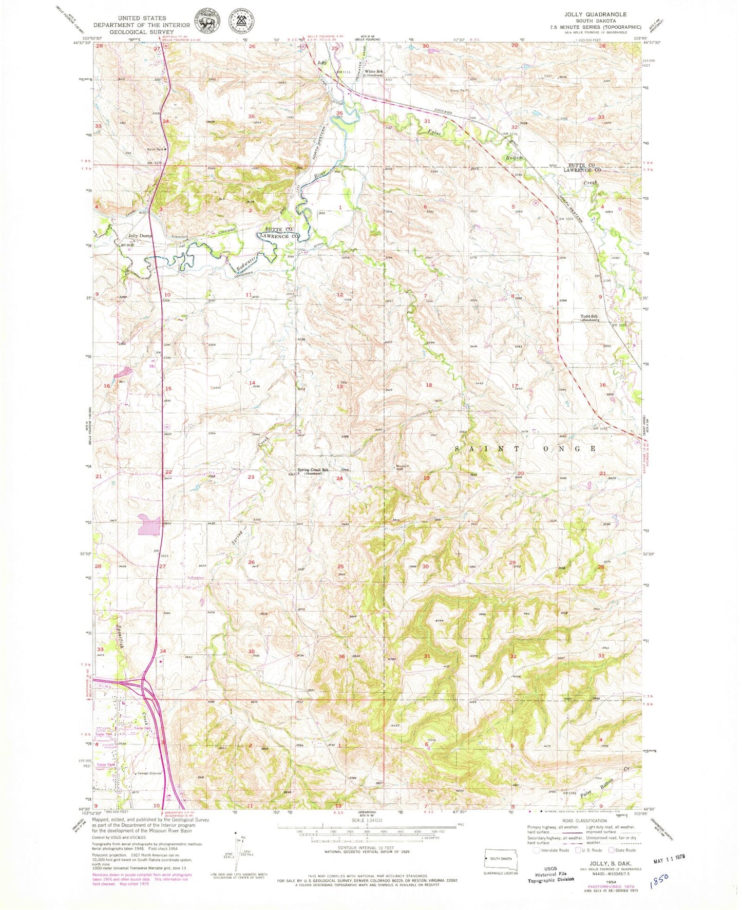
Classic USGS Jolly South Dakota 7.5'x7.5' Topo Map
Couldn't load pickup availability
Historical USGS topographic quad map of Jolly in the state of South Dakota. Map scale may vary for some years, but is generally around 1:24,000. Print size is approximately 24" x 27"
This quadrangle is in the following counties: Butte, Lawrence.
The map contains contour lines, roads, rivers, towns, and lakes. Printed on high-quality waterproof paper with UV fade-resistant inks, and shipped rolled.
Contains the following named places: Black Hills RC and D Stabilization Dam, Columbus Mine, Concordia Ditch, Creekside Elementary School, False Bottom Creek, Jolly, Jolly Dump, Spearfish Creek, Spearfish High School, Spearfish Middle School, Spearfish Post Office, Spearfish Valley Ranch Dam, Spring Creek, Spring Creek School, Todd School, White School, ZIP Code: 57779