MyTopo
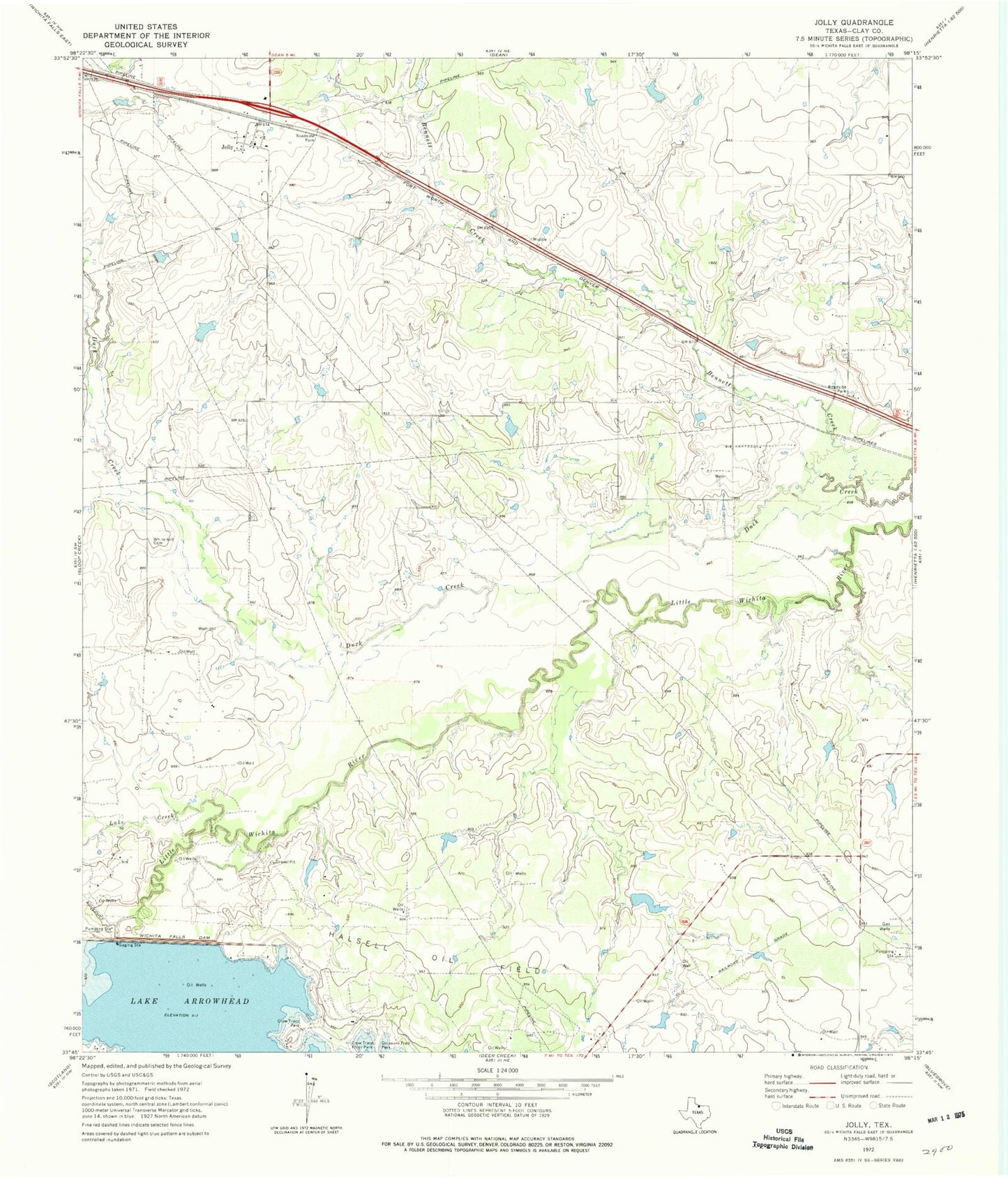
Classic USGS Jolly Texas 7.5'x7.5' Topo Map
Couldn't load pickup availability
Historical USGS topographic quad map of Jolly in the state of Texas. Map scale may vary for some years, but is generally around 1:24,000. Print size is approximately 24" x 27"
This quadrangle is in the following counties: Clay.
The map contains contour lines, roads, rivers, towns, and lakes. Printed on high-quality waterproof paper with UV fade-resistant inks, and shipped rolled.
Contains the following named places: Bennett Creek, Crow Trace Park, Crow Trace Point Park, Delaware Trail Park, Duck Creek, Halsell Lake Dam, Jolly, Jollyville Volunteer Fire Department, Lake Creek, North Park, School Land Lake, School Land Lake Dam, Triangle T Cattle Company Lake Dam, Triangle T Lake Number 1, Triangle T Lake Number 1 Dam, Triangle T Lake Number 2 Dam, Triangle T Lake Number Two, White Hill Cemetery, Whitley Lake, Whitley Lake Dam, Wichita Falls Dam