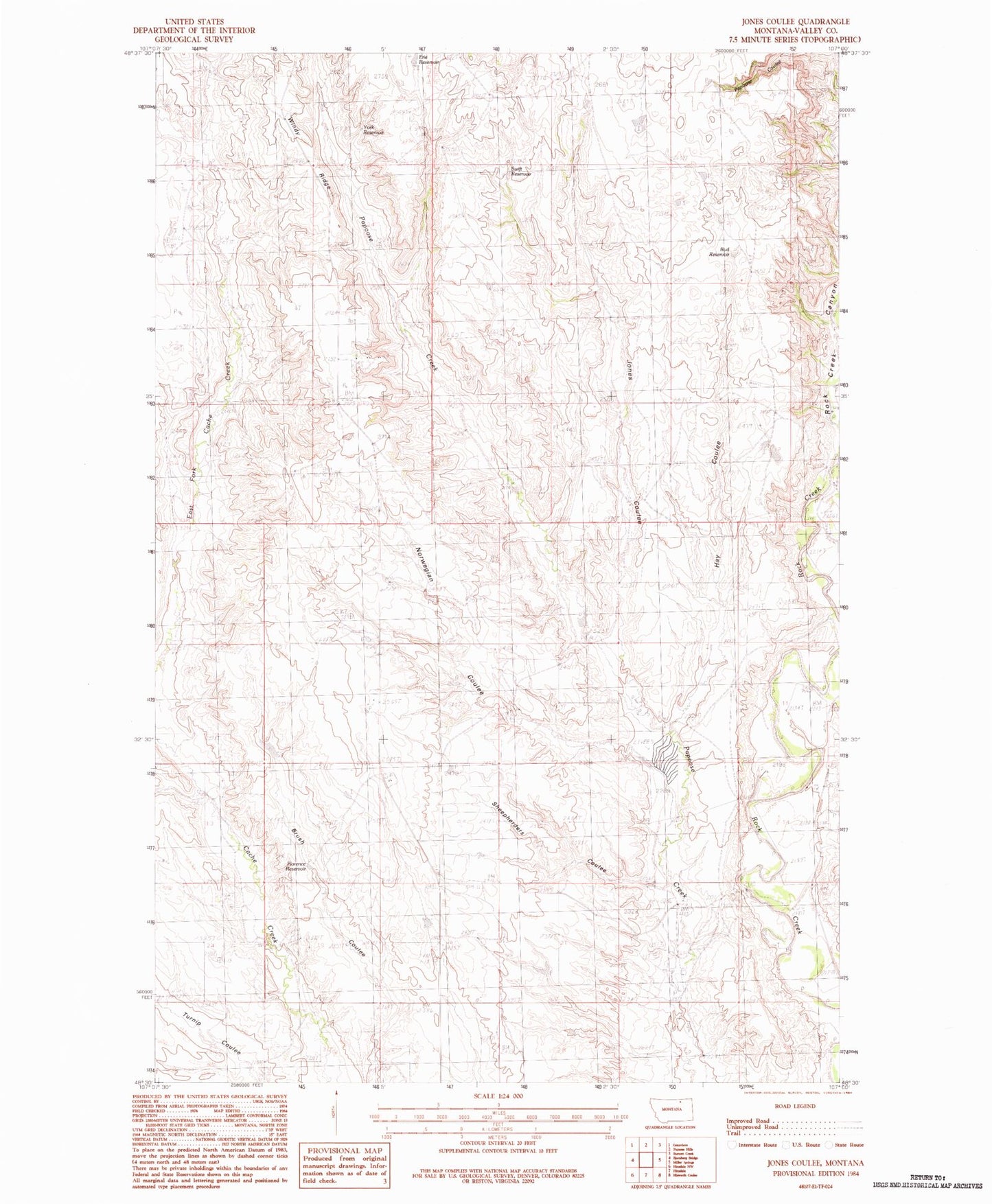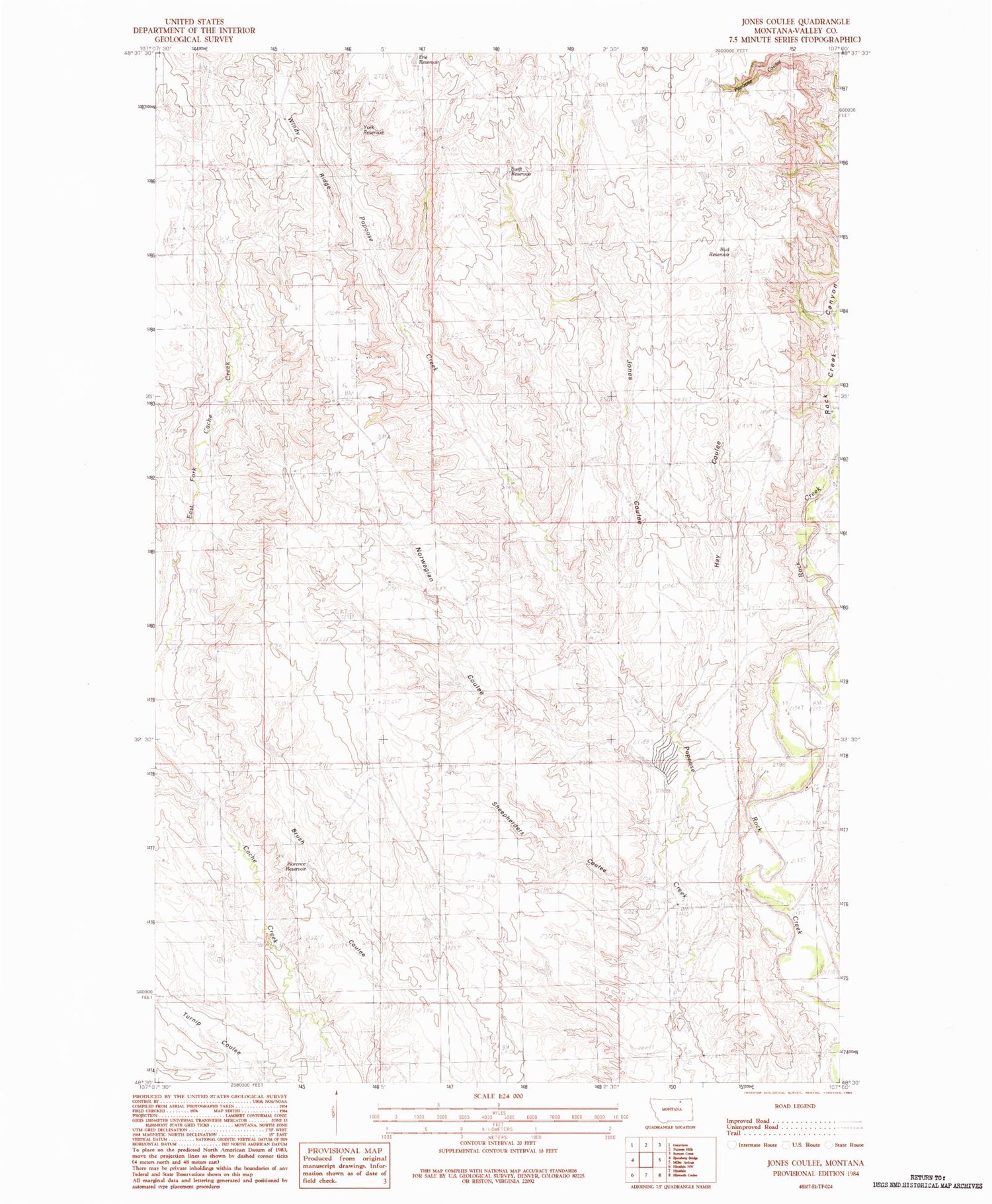
MyTopo
Classic USGS Jones Coulee Montana 7.5'x7.5' Topo Map
Couldn't load pickup availability
Historical USGS topographic quad map of Jones Coulee in the state of Montana. Map scale may vary for some years, but is generally around 1:24,000. Print size is approximately 24" x 27"
This quadrangle is in the following counties: Valley.
The map contains contour lines, roads, rivers, towns, and lakes. Printed on high-quality waterproof paper with UV fade-resistant inks, and shipped rolled.
Contains the following named places: 33N35E25CADB01 Well, Bud Reservoir, Erie Reservoir, Florence Reservoir, Hay Coulee, Jones Coulee, Kielman School, McColly School, Norwegian Coulee, Papoose Coulee, Ratchford's Ranch, Rock Creek Canyon, Sheepherders Coulee, Sneed's Ranch, Swift Reservoir, White's Ranch, Windy Ridge, York Reservoir