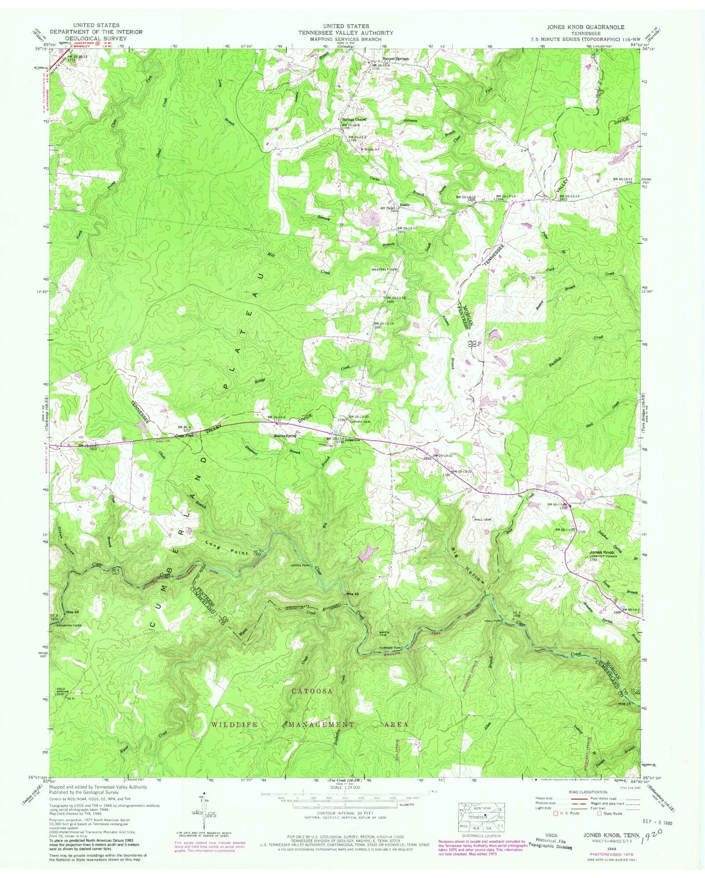
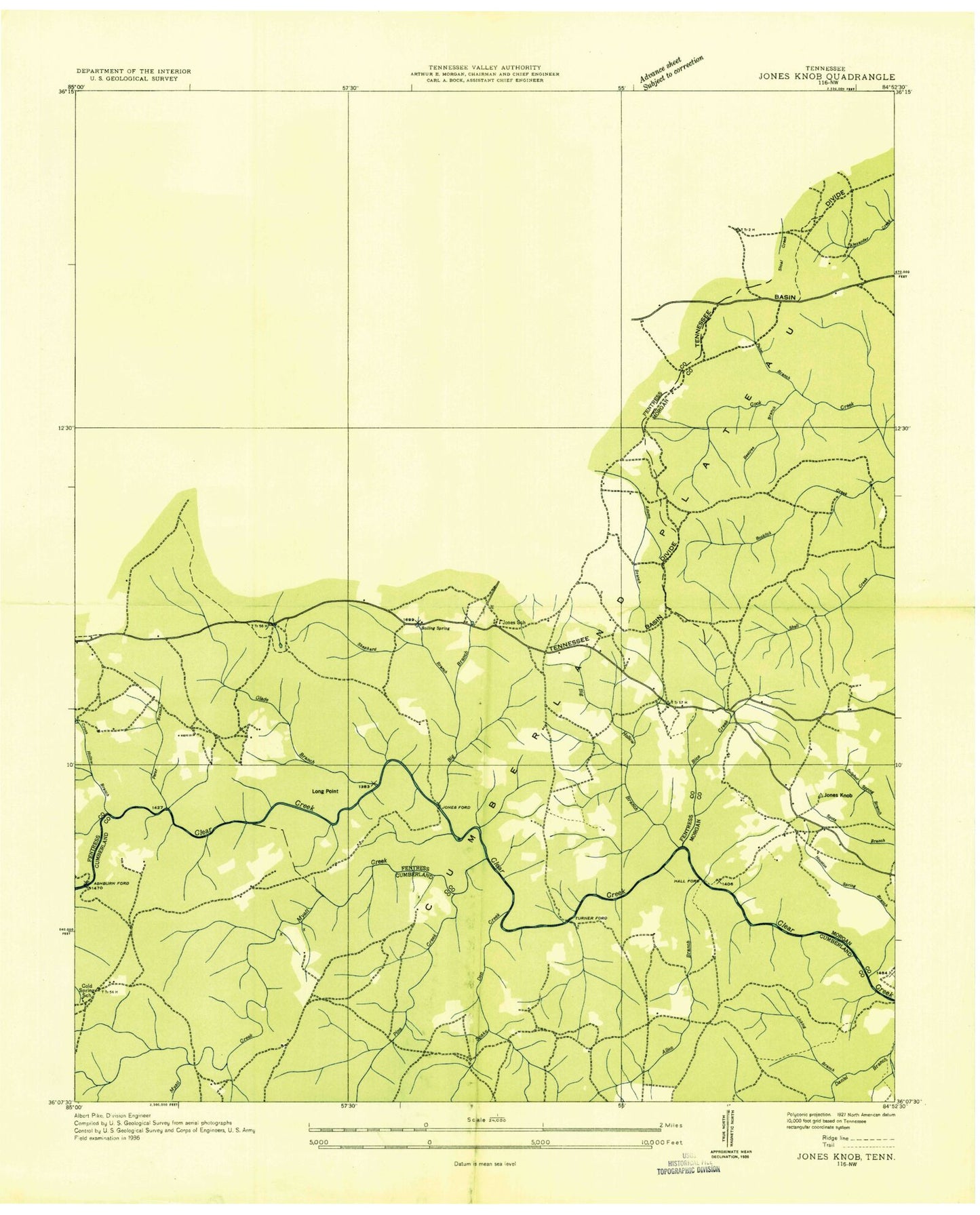
MyTopo
Classic USGS Jones Knob Tennessee 7.5'x7.5' Topo Map
Couldn't load pickup availability
Historical USGS topographic quad map of Jones Knob in the state of Tennessee. Map scale may vary for some years, but is generally around 1:24,000. Print size is approximately 24" x 27"
This quadrangle is in the following counties: Cumberland, Fentress, Morgan.
The map contains contour lines, roads, rivers, towns, and lakes. Printed on high-quality waterproof paper with UV fade-resistant inks, and shipped rolled.
Contains the following named places: Adams Branch, Allen Branch, Ashburn Ford, Atkinson Branch, Banner Springs, Beatty School, Beetree Branch, Bice Creek, Big Branch, Big Hollow, Boiling Spring, Bridge Creek, Burnett Dam, Burnett Lake, Carter Branch, Clarkrange Division, Cold Spring Cemetery, Cold Spring School, Cold Springs, Cross Hollow, D O Beaty Church, Durham Cemetery, Friends Chapel, Friends Chapel Cemetery, Gene Rogers Dam, Gene Rogers Lake, Glade Branch, Hall Ford, Houston Spring Branch, Howe School, Jones Ford, Jones Knob, Jones School, Jonesville, Jonesville Community Baptist Church Cemetery, Land of Lakes Catfish Farm Dam, Land of Lakes Catfish Farm Lake, Licklog Branch, Long Point, Mill Creek, Myatt Creek, Palm Branch, Peggy Pond, Peter Branch, Pine Creek, Ramsey Branch, Roslin, Roslin School, S Thomas Burnett Dam Number Two, S Thomas Burnett Lake Number Two, Shepherd Branch, Smith Cemetery, Snakeden Creek, Springs Chapel, Springs Chapel Cemetery, Turner Ford, Wattenbarger Cemetery, Westfelt Cemetery