MyTopo
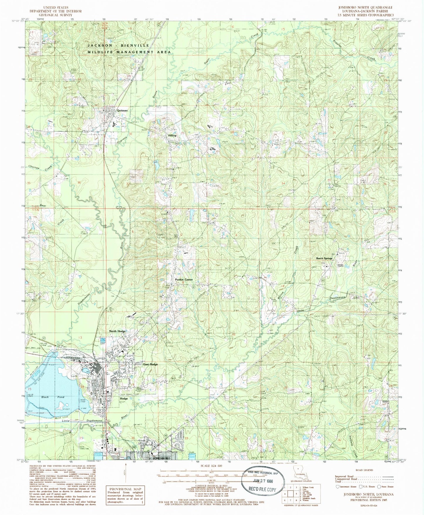
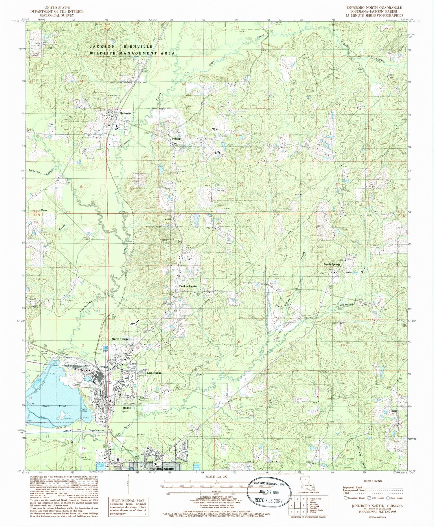
Classic USGS Jonesboro North Louisiana 7.5'x7.5' Topo Map
Couldn't load pickup availability
Historical USGS topographic quad map of Jonesboro North in the state of Louisiana. Map scale may vary for some years, but is generally around 1:24,000. Print size is approximately 24" x 27"
This quadrangle is in the following counties: Jackson.
The map contains contour lines, roads, rivers, towns, and lakes. Printed on high-quality waterproof paper with UV fade-resistant inks, and shipped rolled.
Contains the following named places: Antioch, Antioch Cemetery, Antioch Methodist Church, Bear Creek, Beech Springs, Beech Springs Baptist Church, Bethany Baptist Church, Bethany Cemetery, Bethel Cemetery, Black Pond, Black Pond Dam, Brooks Chapel Cemetery, Camp Davis, Center Point Methodist Church, Choctaw Creek, Cypress Bayou, East Hodge, Fellowship Baptist Church, Garrett Creek, Hilltop, Hodge, Hodge Baptist Church, Hodge Cemetery, Hodge Elementary School, Hodge Gas Field, Hodge Methodist Church, Hodge Police Department, Hodge Post Office, Hodge Shopping Center, Hodge United Pentecostal Church, Hodge Volunteer Fire Department, Jackson Parish Hospital, Jimmie Davis Tabernacle Cemetery, Keppler Creek, North Hodge, North Hodge Assembly of God Church, Northeast Hodge Gas Field, Parish Governing Authority District 4, Parish Governing Authority District 7, Punkin Center, Quitman, Quitman Fire Protection District 1, Quitman First Baptist Cemetery, Quitman First Baptist Church, Quitman High School, Quitman Post Office, Rockfield, Saint Henrys Cemetery, Saint Lucys Catholic Church, Saints Rest Church, Stringer Cemetery, Sugar Creek, Sweetwater Baptist Church, Sweetwater Church, Union Elementary School, Village of East Hodge, Village of Hodge, Village of North Hodge, Village of Quitman, Ward Eight, Ward Nine, Ward One, Ward Ten, Willow Creek, ZIP Codes: 71247, 71268


