MyTopo
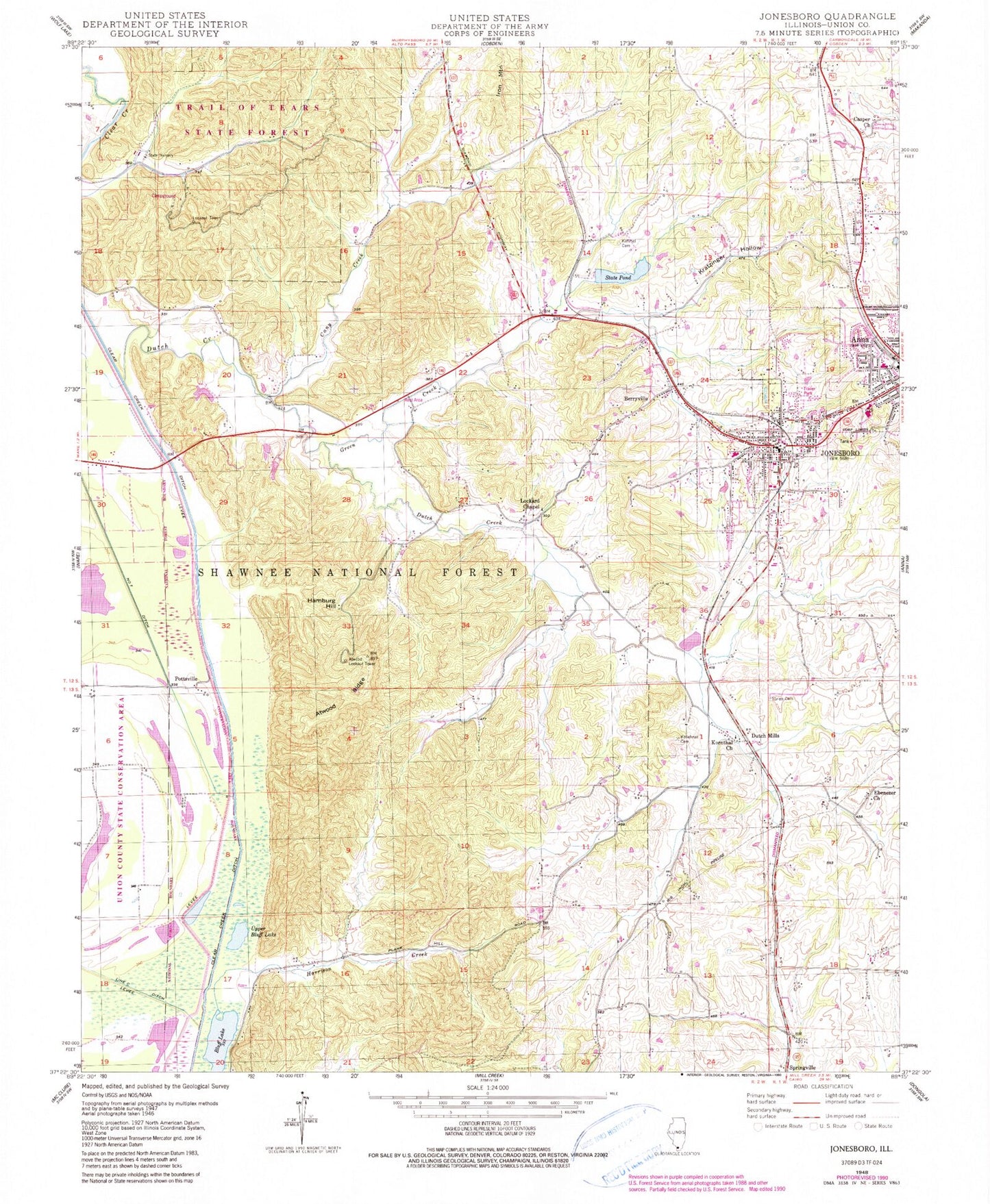
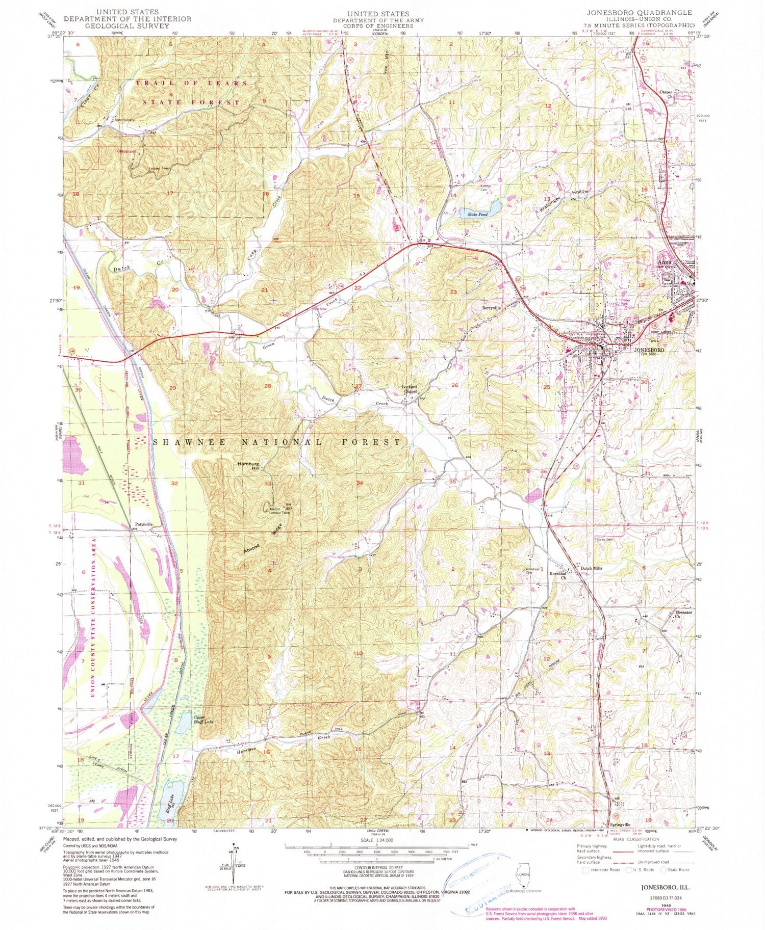
Classic USGS Jonesboro Illinois 7.5'x7.5' Topo Map
Couldn't load pickup availability
Historical USGS topographic quad map of Jonesboro in the state of Illinois. Map scale may vary for some years, but is generally around 1:24,000. Print size is approximately 24" x 27"
This quadrangle is in the following counties: Union.
The map contains contour lines, roads, rivers, towns, and lakes. Printed on high-quality waterproof paper with UV fade-resistant inks, and shipped rolled.
Contains the following named places: Anna City Hall, Anna District 1 Election Precinct, Anna Junior High School, Anna State Hospital Reservoir, Anna State Hospital Reservoir Dam, Anna-Jonesboro High School, Atwood Lookout Tower, Atwood Ridge, Berryville, Berryville Shale Glade Nature Preserve, Bluff Lake, Brown Barrens Nature Preserve, Brummitt School, Caney Creek, Casper Church, City of Jonesboro, Clear Creek Ditch, Dutch Creek, Dutch Mills, Ebenezer Church, First Baptist Church, First Baptist Church of Jonesboro, Green Creek, Grieb Cemetery, Hamburg Hill, Harrison Creek, Jonesboro, Jonesboro City Hall, Jonesboro District 1 Election Precinct, Jonesboro District 2 Election Precinct, Jonesboro District 3 Election Precinct, Jonesboro Elementary School, Jonesboro Post Office, Jonesboro Public Library, Jonesboro Volunteer Fire Department, Kimmel Cemetery, Kollehner Cemetery, Kornthal Church, Kratzinger Hollow, Lake Hill School, Lincoln Memorial Picnic Grounds, Lockard Chapel Baptist Church, Mackey School, McClure School, McClure Shale Glade Nature Preserve, Misenheimer School, Morgan School, Mount Moriah Evangelical Lutheran Church, Ozark Hills Nature Preserve, Pottsville, Running Lake Ditch, Saint Annes Episcopal Church, State Pond, Stinson Memorial Library, Trinity Lutheran Church, Tripp School, Union County, Union County Ambulance Service, Union County Courthouse, Union County Sheriff's Office, Union County State Forest, Upper Bluff Lake, WRAJ-AM (Anna), WRAJ-FM (Anna), ZIP Code: 62952


