MyTopo
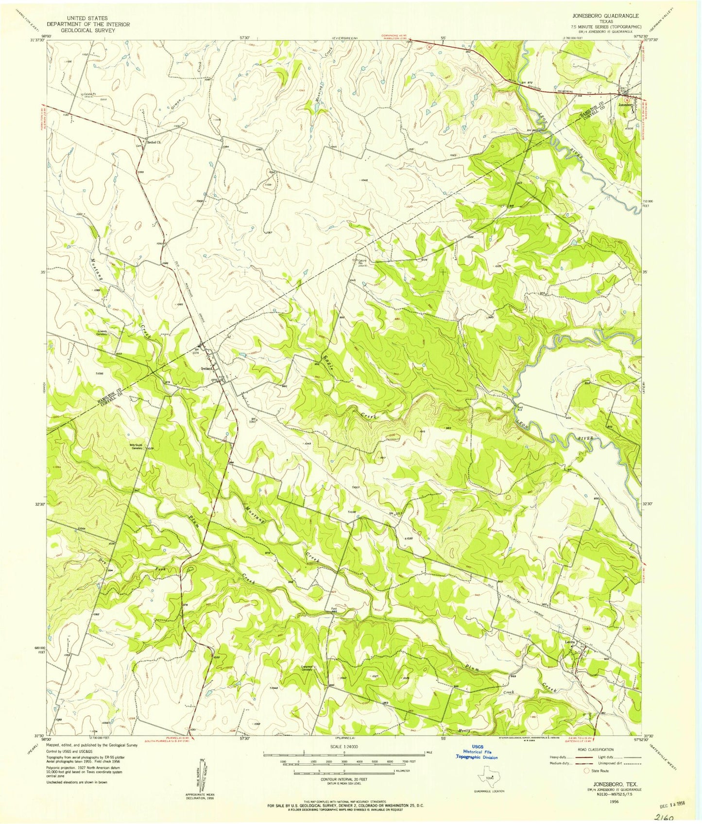
Classic USGS Jonesboro Texas 7.5'x7.5' Topo Map
Couldn't load pickup availability
Historical USGS topographic quad map of Jonesboro in the state of Texas. Map scale may vary for some years, but is generally around 1:24,000. Print size is approximately 24" x 27"
This quadrangle is in the following counties: Coryell, Hamilton.
The map contains contour lines, roads, rivers, towns, and lakes. Printed on high-quality waterproof paper with UV fade-resistant inks, and shipped rolled.
Contains the following named places: Bethel Church, Dry Fork, Eagle Creek, Edwards Cemetery, Evergreen Cemetery, Honey Creek, Ireland, J P Brocksch Dam, J P Brocksch Lake, Jonesboro, Jonesboro Cemetery, Jonesboro Volunteer Fire Department, Levita, Levita Volunteer Fire Department, Mustang Creek, Sycamore Cemetery, Willy Grubb Cemetery