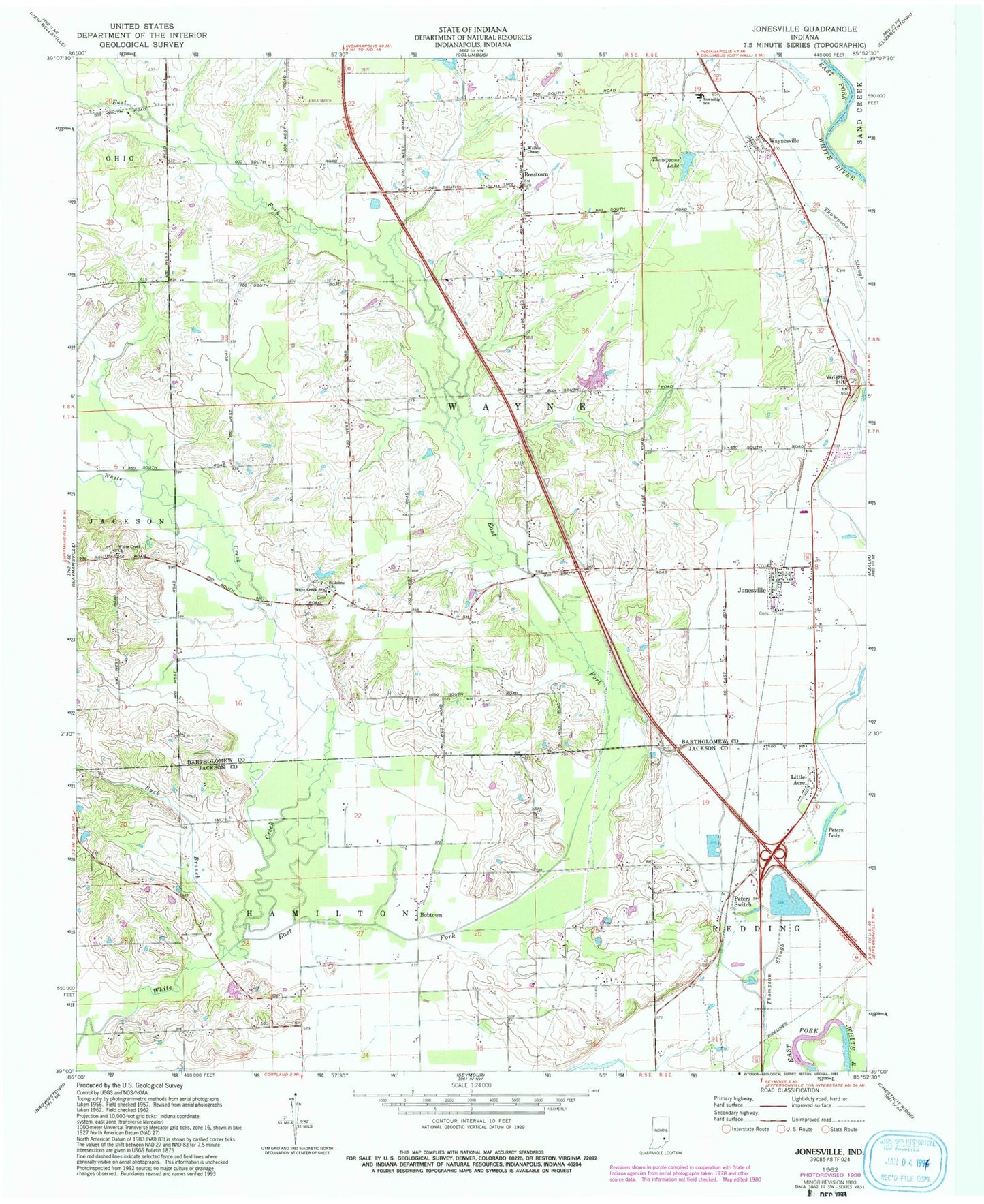
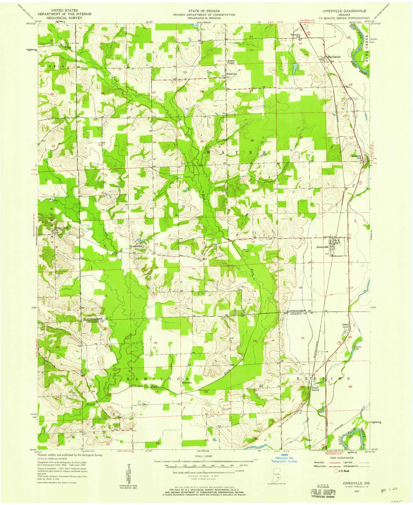
MyTopo
Classic USGS Jonesville Indiana 7.5'x7.5' Topo Map
Couldn't load pickup availability
Historical USGS topographic quad map of Jonesville in the state of Indiana. Map scale may vary for some years, but is generally around 1:24,000. Print size is approximately 24" x 27"
This quadrangle is in the following counties: Bartholomew, Jackson.
The map contains contour lines, roads, rivers, towns, and lakes. Printed on high-quality waterproof paper with UV fade-resistant inks, and shipped rolled.
Contains the following named places: Bobtown, Buck Branch, Cooley Creek, Corya Pork Farm, East Fork White Creek, John Thompson County Ditch, Jonesville, Jonesville Fire Department Station 1, Lake Barbara, Little Acre, Meyer Lake Dam, Peters Lake, Peters Switch, Rosstown, Saint Johns Church, Thompsons Lake, Town of Jonesville, Township of Wayne, Walker Chapel, Waynesville, White Creek Church, White Creek Lutheran School, White Creek Post Office, Wrights Hill, ZIP Code: 47247