MyTopo
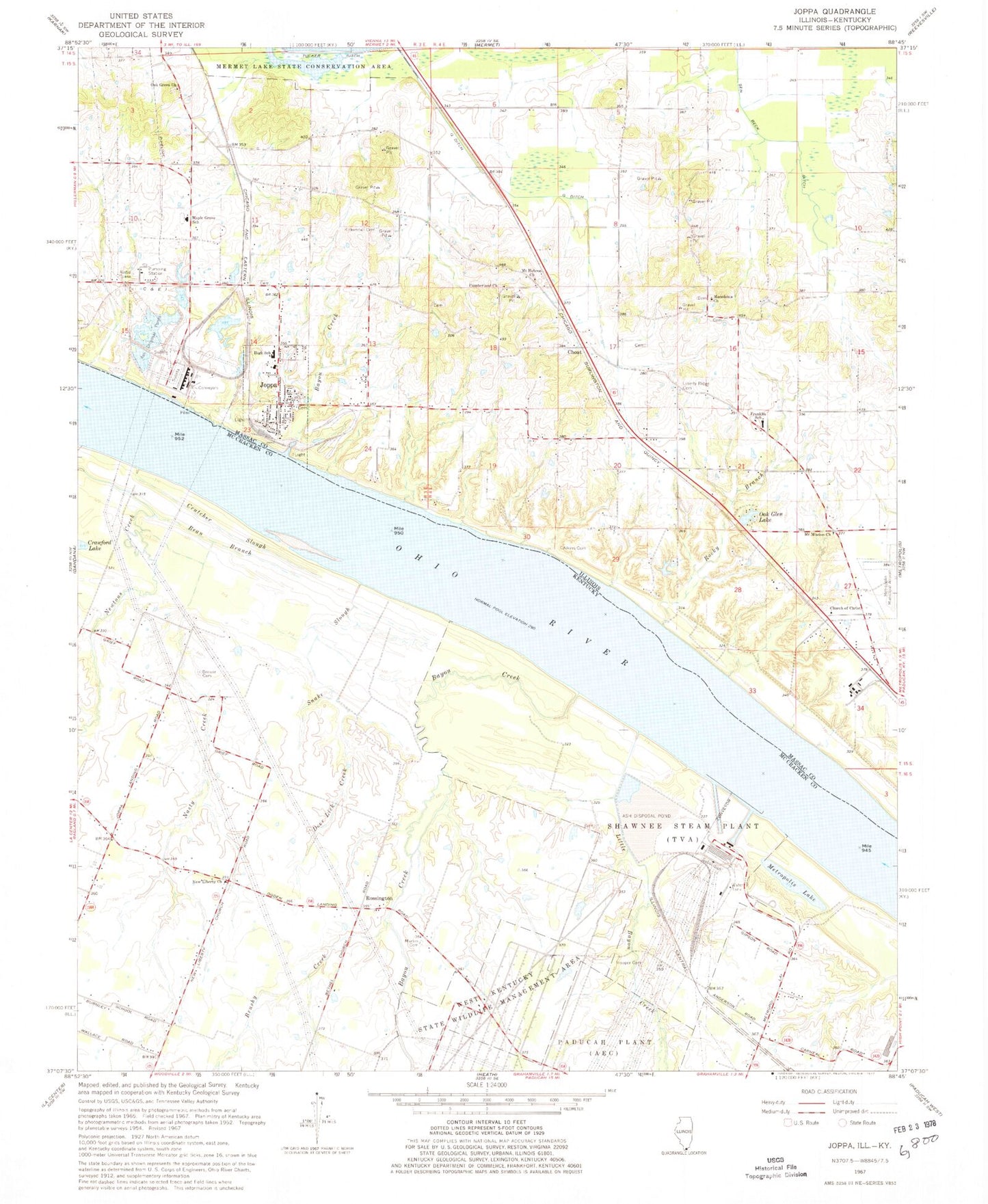
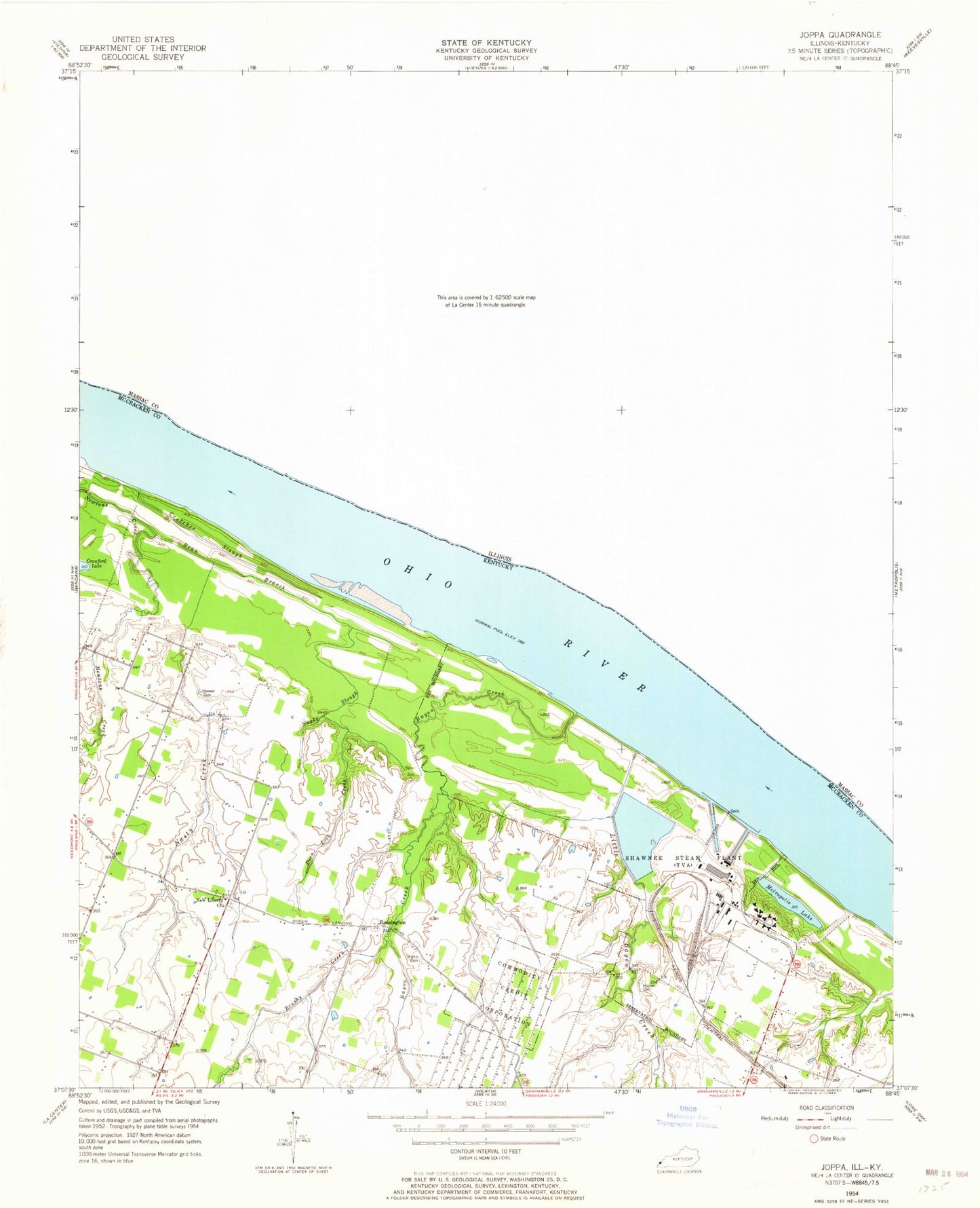
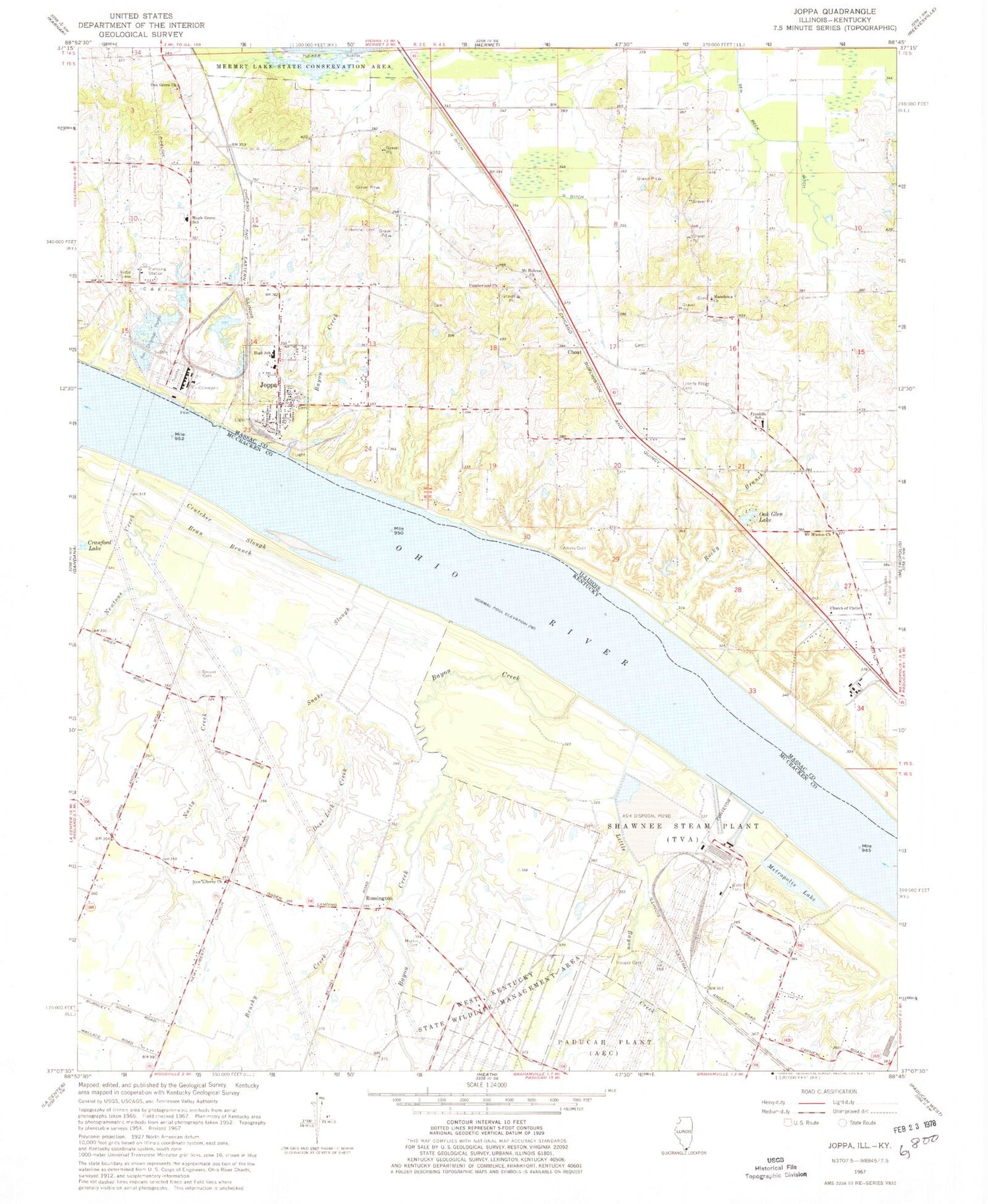
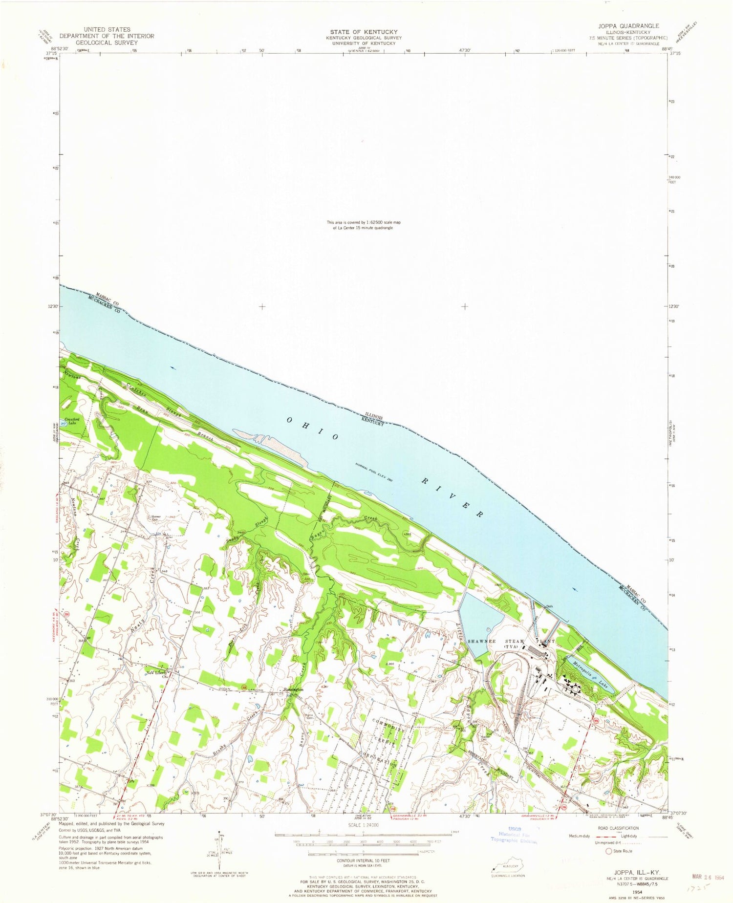
Classic USGS Joppa Illinois 7.5'x7.5' Topo Map
Couldn't load pickup availability
Historical USGS topographic quad map of Joppa in the states of Illinois, Kentucky. Map scale may vary for some years, but is generally around 1:24,000. Print size is approximately 24" x 27"
This quadrangle is in the following counties: Massac, McCracken.
The map contains contour lines, roads, rivers, towns, and lakes. Printed on high-quality waterproof paper with UV fade-resistant inks, and shipped rolled.
Contains the following named places: Aikins Cemetery, Aikins School, Bayou Creek, Bean Branch, Brewer Cemetery, Brushy Creek, Choat, Church of Christ, Crutcher Slough, Cumberland Church, Deer Lick Creek, Fletchers Landing, Franklin Elementary School, Grant Election Precinct, Hillerman Election Precinct, Hopper Cemetery, Joppa, Joppa Fire Department, Joppa Generating Station, Joppa High School, Joppa Post Office, Kirkendall Cemetery, Liberty Ridge Cemetery, Little Bayou Creek, Macedonia Church, Maple Grove Elementary School, Martin Cemetery, Mermet Swamp Nature Preserve, Metropolis Lake, Mount Hebron Church, Mount Mission Church, Mount Mission School, Mount Pleasant School, Nasty Creek, New Liberty Cemetery, New Liberty Church, Oak Glen Lake, Oak Grove Cumberland Presbyterian Church, Oak Grove School, Rocky Branch, Rossington, Shawnee Steam Plant, Snake Slough, Tucker School, Village of Joppa, ZIP Code: 62953


