MyTopo
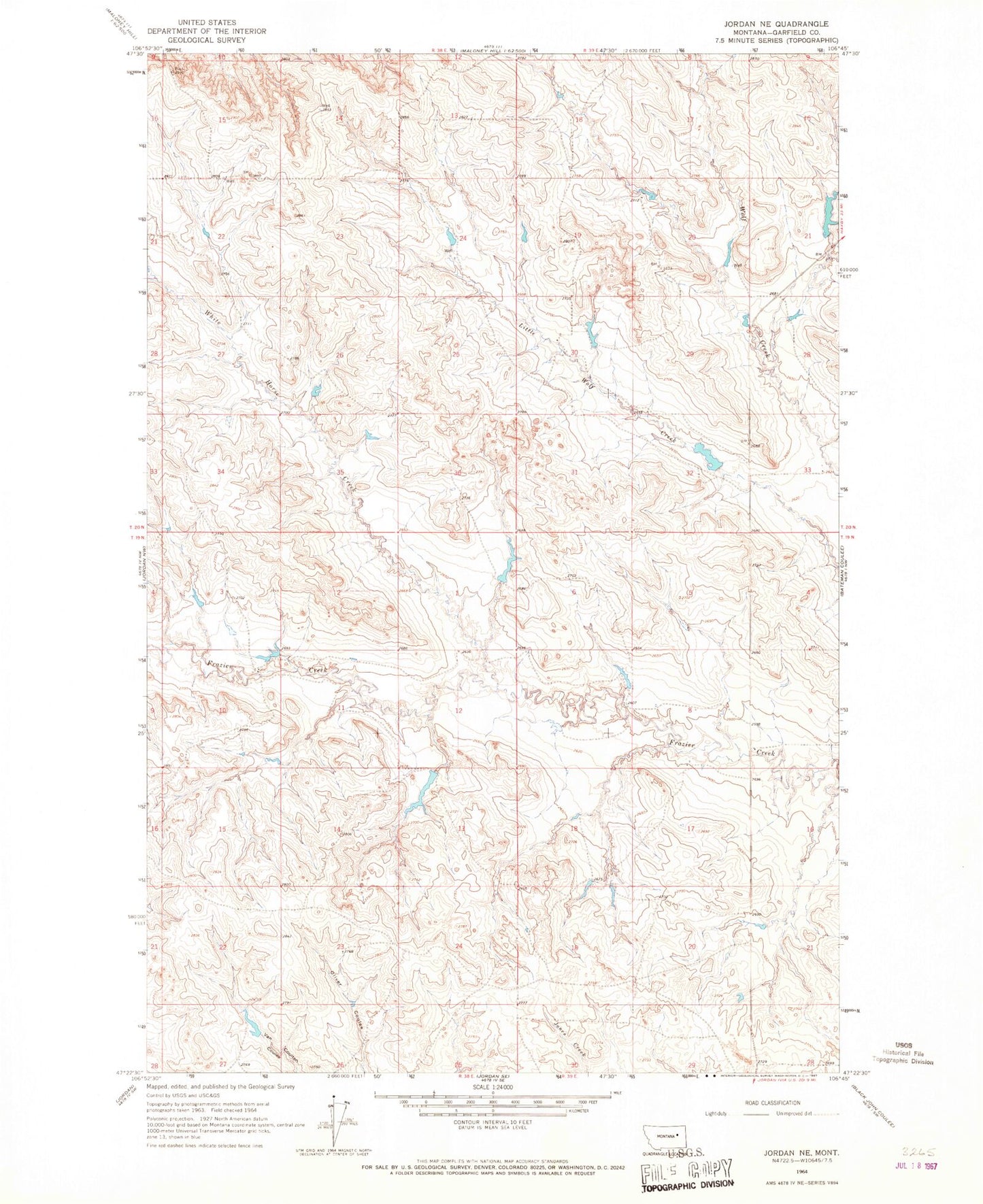
Classic USGS Jordan NE Montana 7.5'x7.5' Topo Map
Couldn't load pickup availability
Historical USGS topographic quad map of Jordan NE in the state of Montana. Map scale may vary for some years, but is generally around 1:24,000. Print size is approximately 24" x 27"
This quadrangle is in the following counties: Garfield.
The map contains contour lines, roads, rivers, towns, and lakes. Printed on high-quality waterproof paper with UV fade-resistant inks, and shipped rolled.
Contains the following named places: 19N38E10A___01 Well, 19N38E10CDBA01 Well, 19N39E07A___01 Well, 19N39E09C___01 Well, 20N38E24D___01 Well, 20N39E21C___01 Well, 59337, Adidias Dam, Big Bucks Number 14 Dam, Big Bucks Number 15 Dam, Binions Number 1 Dam, Mason Dam, N E Olsen Number 1 Dam, Piney Buttes, Van Number 1 Dam, White Horse Creek