MyTopo
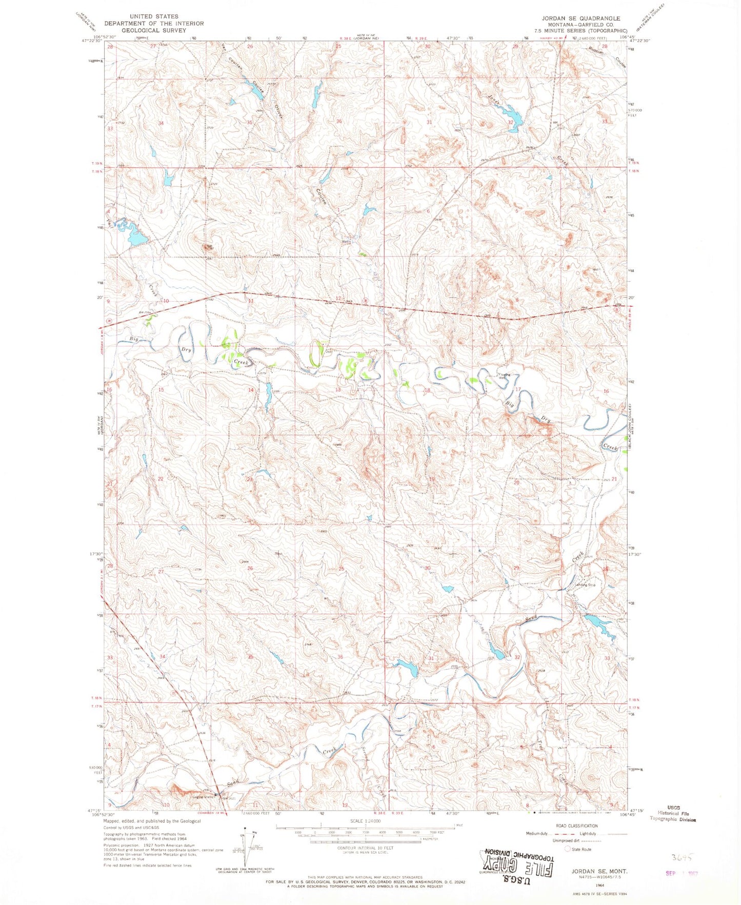
Classic USGS Jordan SE Montana 7.5'x7.5' Topo Map
Regular price
$16.95
Regular price
Sale price
$16.95
Unit price
per
Couldn't load pickup availability
Historical USGS topographic quad map of Jordan SE in the state of Montana. Map scale may vary for some years, but is generally around 1:24,000. Print size is approximately 24" x 27"
This quadrangle is in the following counties: Garfield.
The map contains contour lines, roads, rivers, towns, and lakes. Printed on high-quality waterproof paper with UV fade-resistant inks, and shipped rolled.
Contains the following named places: 18N39E28A___01 Well, Alexander Dam, Binion Number 3 Dam, C Harbaugh Dam, D Harbaugh Dam, Harbaugh Number 3 Dam, Hensleigh Number 2 Dam, Karen Number 7 Dam, Lone Tree Creek, Oliver Coulee, Sand Creek, Sand Creek Bridge, Second Creek, Vail Creek, Van Coulten Coulee, Van Number 2 Dam