MyTopo
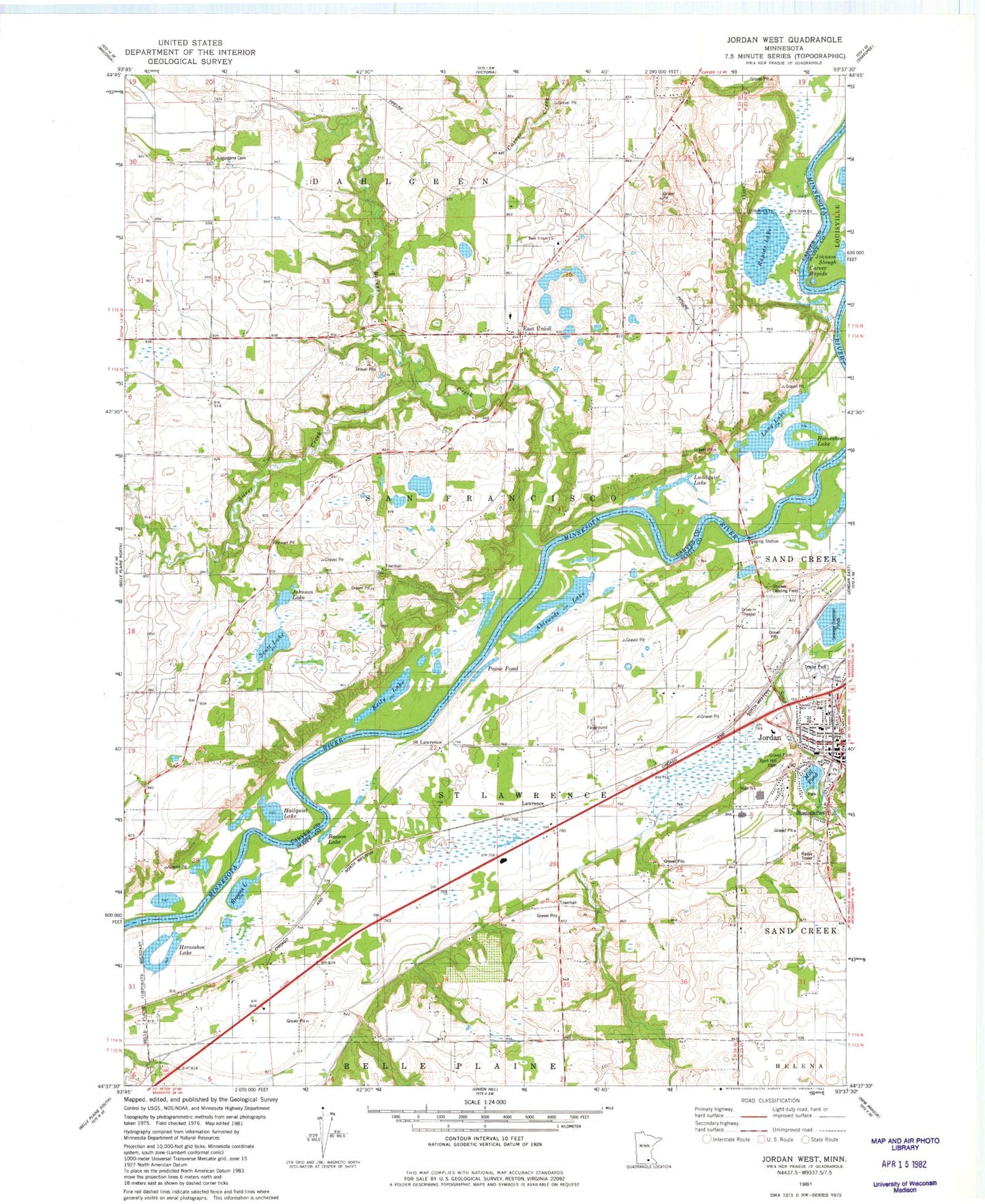
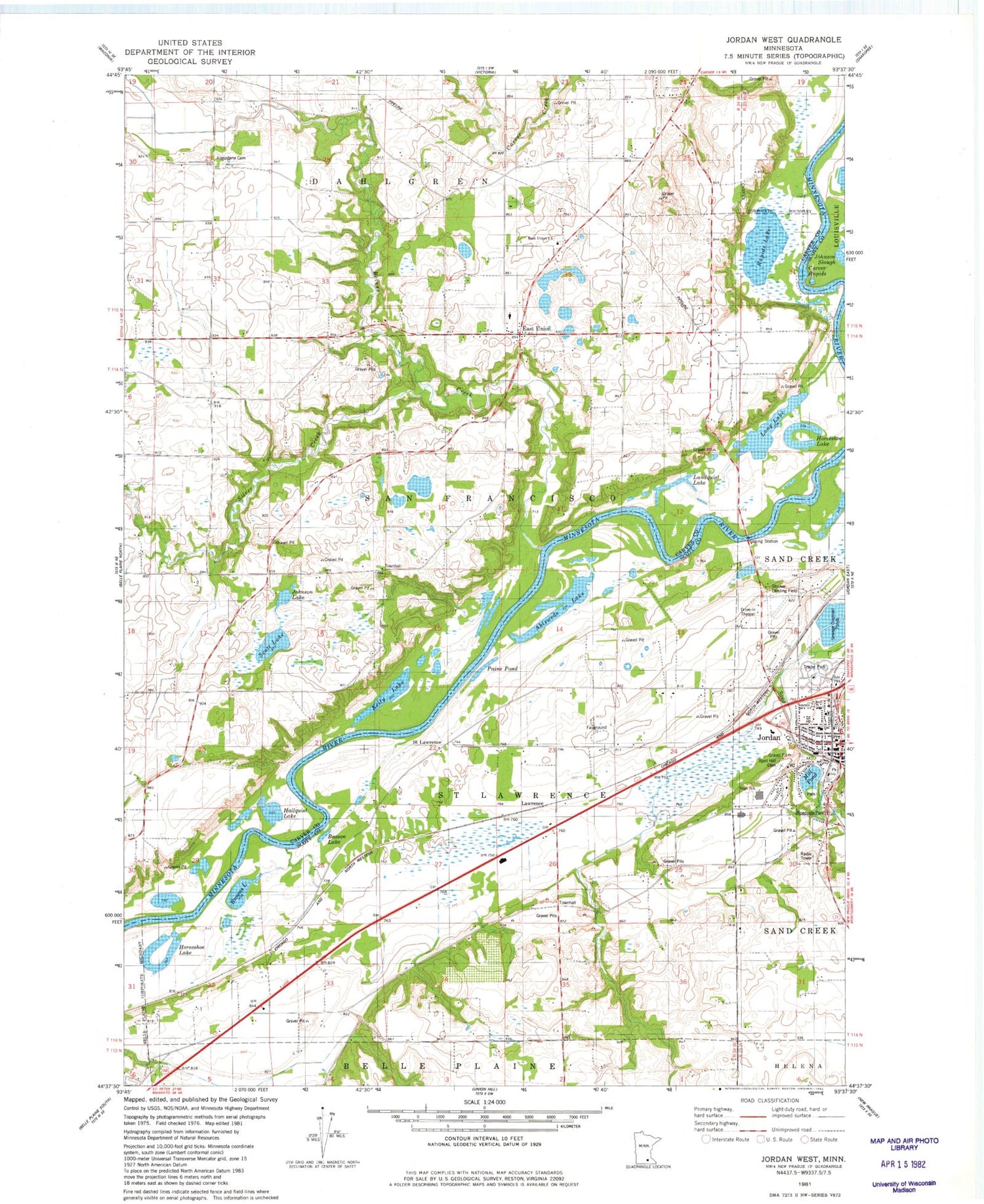
Classic USGS Jordan West Minnesota 7.5'x7.5' Topo Map
Couldn't load pickup availability
Historical USGS topographic quad map of Jordan West in the state of Minnesota. Map scale may vary for some years, but is generally around 1:24,000. Print size is approximately 24" x 27"
This quadrangle is in the following counties: Carver, Scott.
The map contains contour lines, roads, rivers, towns, and lakes. Printed on high-quality waterproof paper with UV fade-resistant inks, and shipped rolled.
Contains the following named places: Ahlswede Lake, Augustana Cemetery, Beason Lake, Bevens Creek, Brentwood Park, Browns Lake, Carver Rapids, City of Jordan, East Union, East Union Church, East Union Elementary School, East Union Post Office, Hallquist Lake, Holzer Park, Hope Lutheran Church, Horseshoe Lake, Immanuel United Methodist Church, Johnson Lake, Johnson Slough, Jordan, Jordan City Hall, Jordan Elementary School, Jordan Fire Department, Jordan High School, Jordan Medical Center, Jordan Middle School, Jordan Mill Pond, Jordan Police Department, Jordan Post Office, Jordan Public Library, Jordan Wayside Park, Kelly Lake, Lagoon Park, Lawrence, Long Lake, Lundquist Lake, Merill L Harris Field, Paine Pond, Pekarna Park, Rapids Lake, Riesgraf-Lions Park, River Valley Education Center, Ruehlings Pond, Ruehlings Pond Dam, Saint John the Baptist Catholic School, Saint John the Baptist Church, Saint Lawrence Post Office, Saint Paul's Lutheran Church, Sand Creek Dam, Sand Creek Reservoir, School Number 22, School Number 25, Scott County Fairgrounds, Scott Lake, Silver Creek, Spirit Hill Cemetery, Stocker Private Airport, Swedish Lutheran Or East Union Lutheran Cemetery, Swedish Methodist Cemetery, Timberline Park, Township of Saint Lawrence, Township of San Francisco, Tree of Life Church, Valley Green Mobile Home Park, Zion United Methodist Church, ZIP Code: 55315


