MyTopo
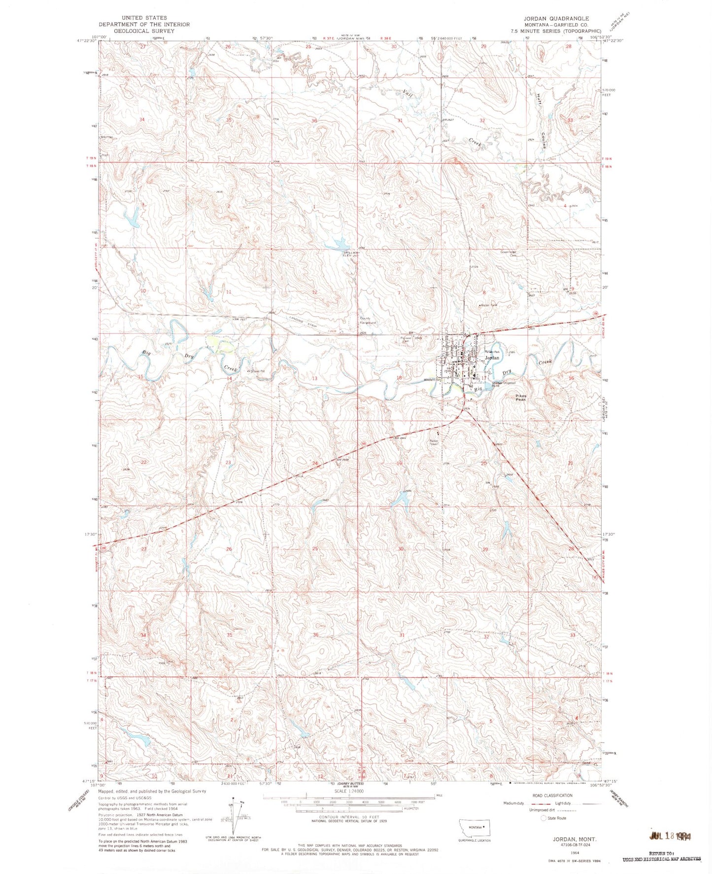
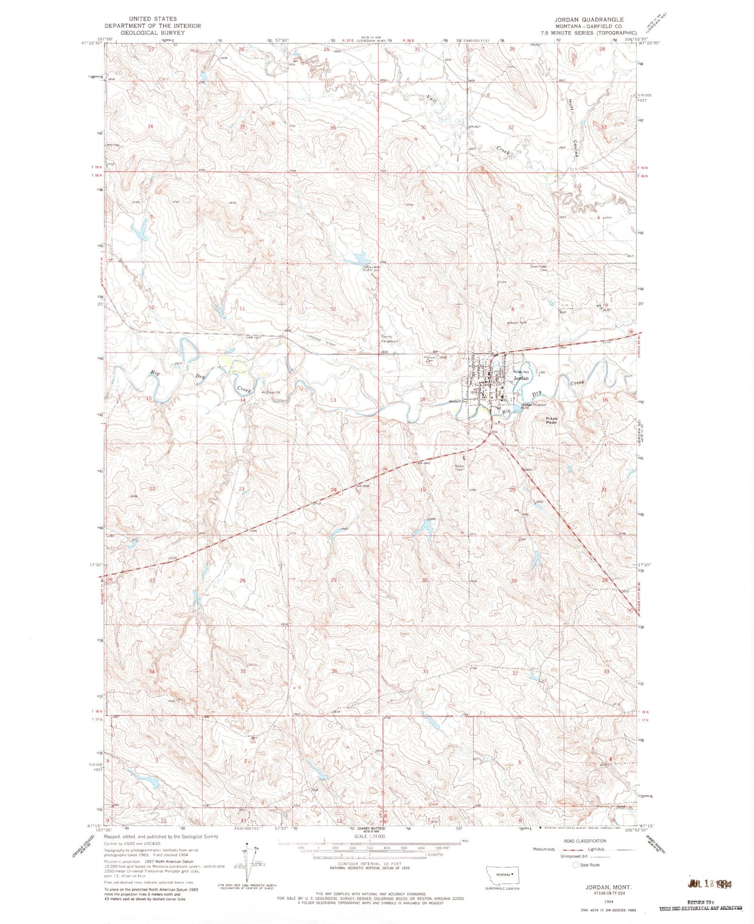
Classic USGS Jordan Montana 7.5'x7.5' Topo Map
Couldn't load pickup availability
Historical USGS topographic quad map of Jordan in the state of Montana. Map scale may vary for some years, but is generally around 1:24,000. Print size is approximately 24" x 27"
This quadrangle is in the following counties: Garfield.
The map contains contour lines, roads, rivers, towns, and lakes. Printed on high-quality waterproof paper with UV fade-resistant inks, and shipped rolled.
Contains the following named places: 18N38E17B___01 Well, 18N38E17B___02 Well, 18N38E18AACC01 Well, 18N38E20BBAB01 Well, 19N38E31A___01 Well, Assembly of God Church, Coleman Number 1 Dam, Community Presbyterian Church, Garfield County, Garfield County Ambulance, Garfield County Courthouse, Garfield County Fairground, Garfield County Health Center - Hospital, Garfield County High School, Garfield County Library, Garfield County Museum, Garfield County Sheriff's Office, Greenridge Cemetery, Happy Jack Number 1 Dam, Huff Coulee, Indian Country Historical Marker, John Boy Number 2 Dam, Jordan, Jordan Airport, Jordan Elementary School, Jordan Mobile Home Park, Jordan Post Office, Jordan Seventh Day Adventist Church, Jordan Volunteer Fire Department, Kamp Katie, Kariotis Park, Mister PP Dam, Panwitz Park, Pikes Peak, Pioneer Cemetery, Saint John the Baptist Church, Saint Johns Evangelical Lutheran Church, The Church of Jesus Christ of Latter Day Saints, Town of Jordan, Willems Park, Woodland Park


