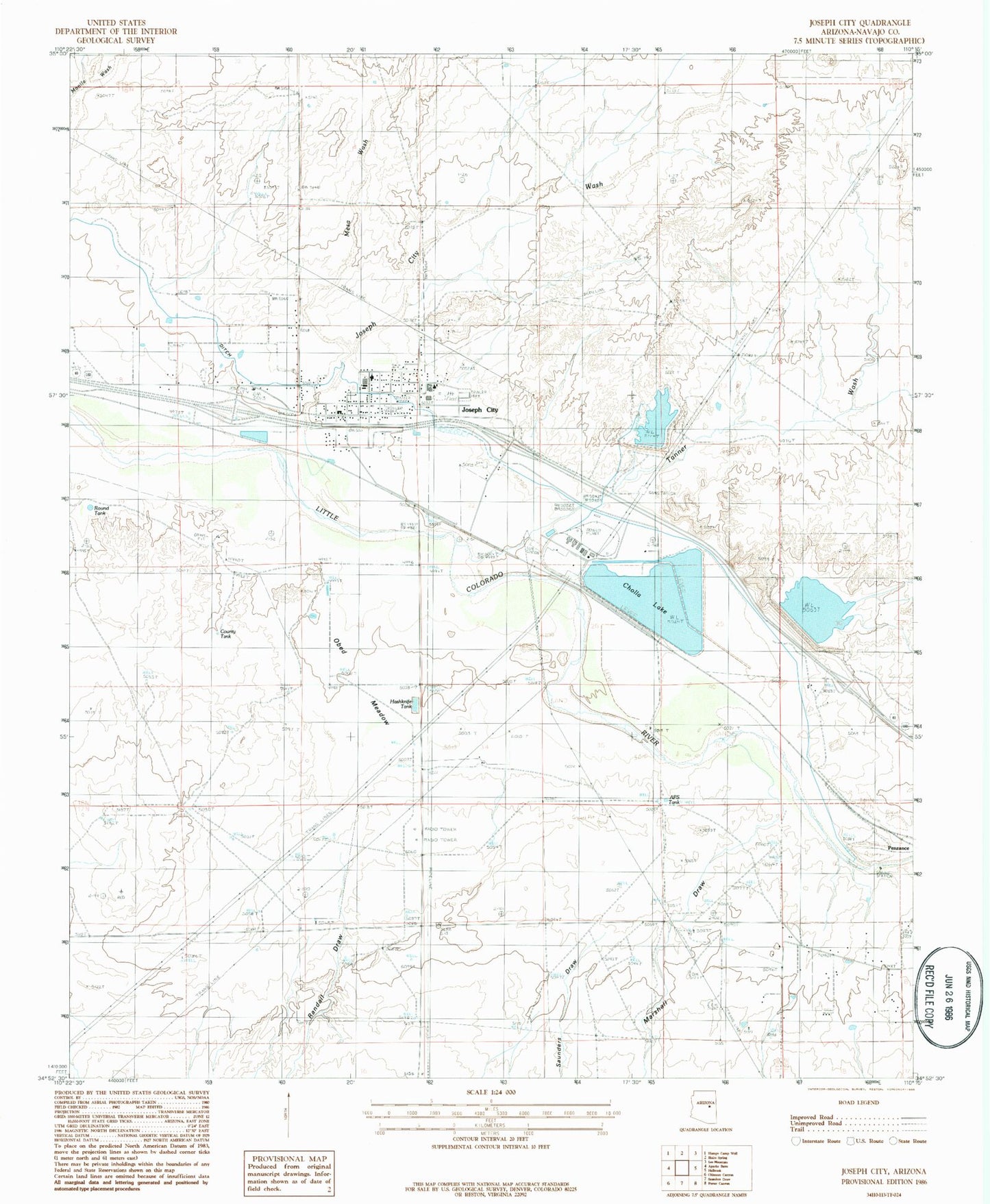
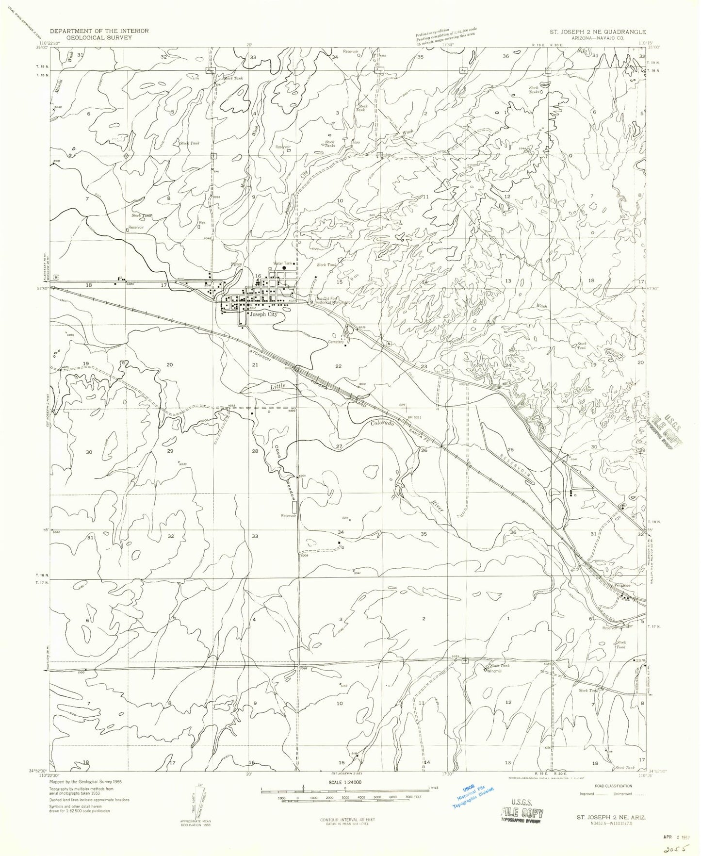
MyTopo
Classic USGS Joseph City Arizona 7.5'x7.5' Topo Map
Couldn't load pickup availability
Historical USGS topographic quad map of Joseph City in the state of Arizona. Map scale may vary for some years, but is generally around 1:24,000. Print size is approximately 24" x 27"
This quadrangle is in the following counties: Navajo.
The map contains contour lines, roads, rivers, towns, and lakes. Printed on high-quality waterproof paper with UV fade-resistant inks, and shipped rolled.
Contains the following named places: Cholla Bottom Ash Pond, Cholla Bottom Ash Pond Dam, Cholla Cooling Pond Dam, Cholla Fly Ash Pond, Cholla Fly Ash Pond Dam, Cholla Lake, Cholla Mobile Home Park, Cholla Power Generating Plant, Joseph City, Joseph City Cemetery, Joseph City Census Designated Place, Joseph City Elementary School, Joseph City Fire District, Joseph City Junior / Senior High School, Joseph City Post Office, Joseph City Wash, Mesa Wash, Obed Meadow, Penzance, Tanner Wash, The Old Fort Historical Monument, Winslow-Holbrook Division