MyTopo
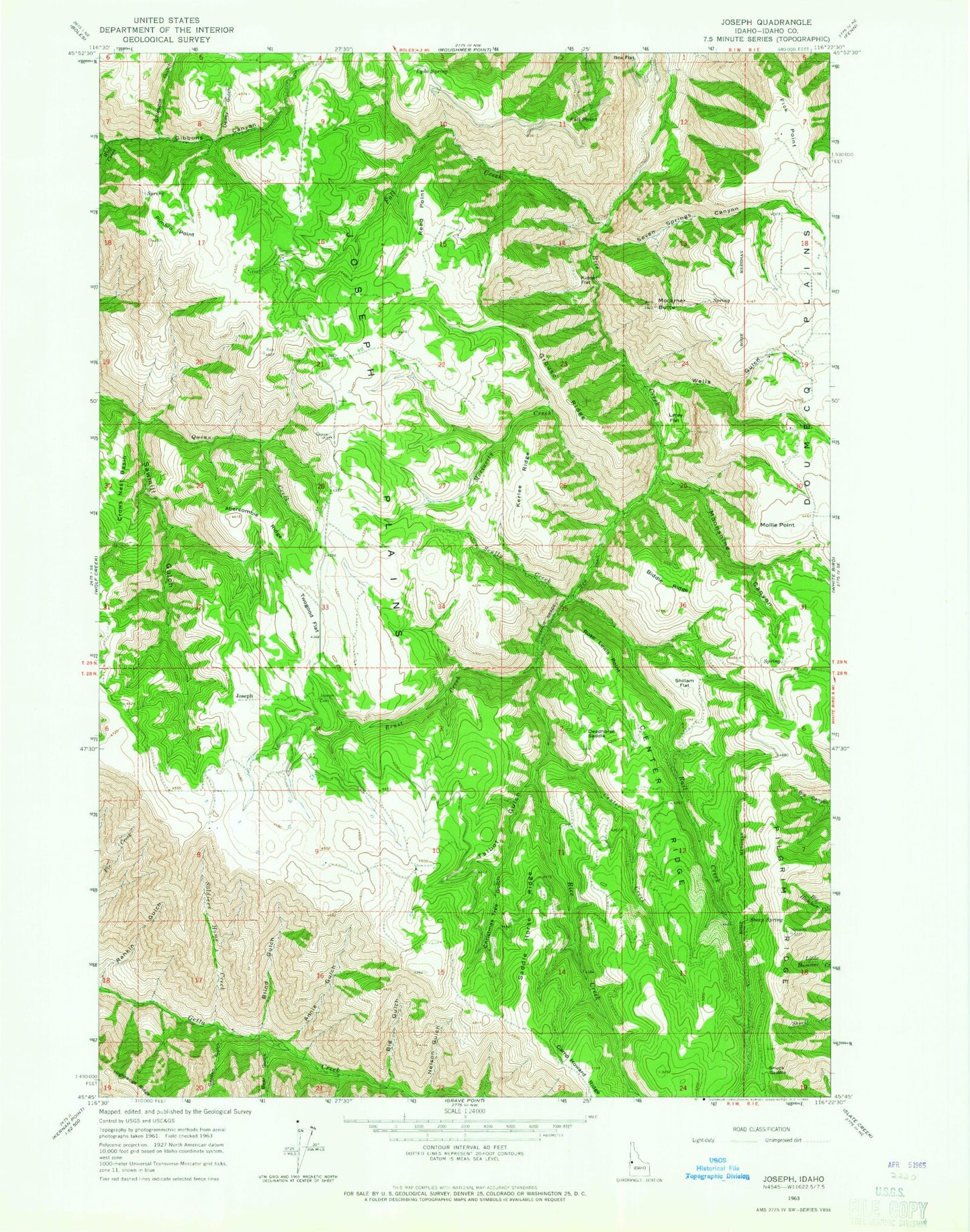
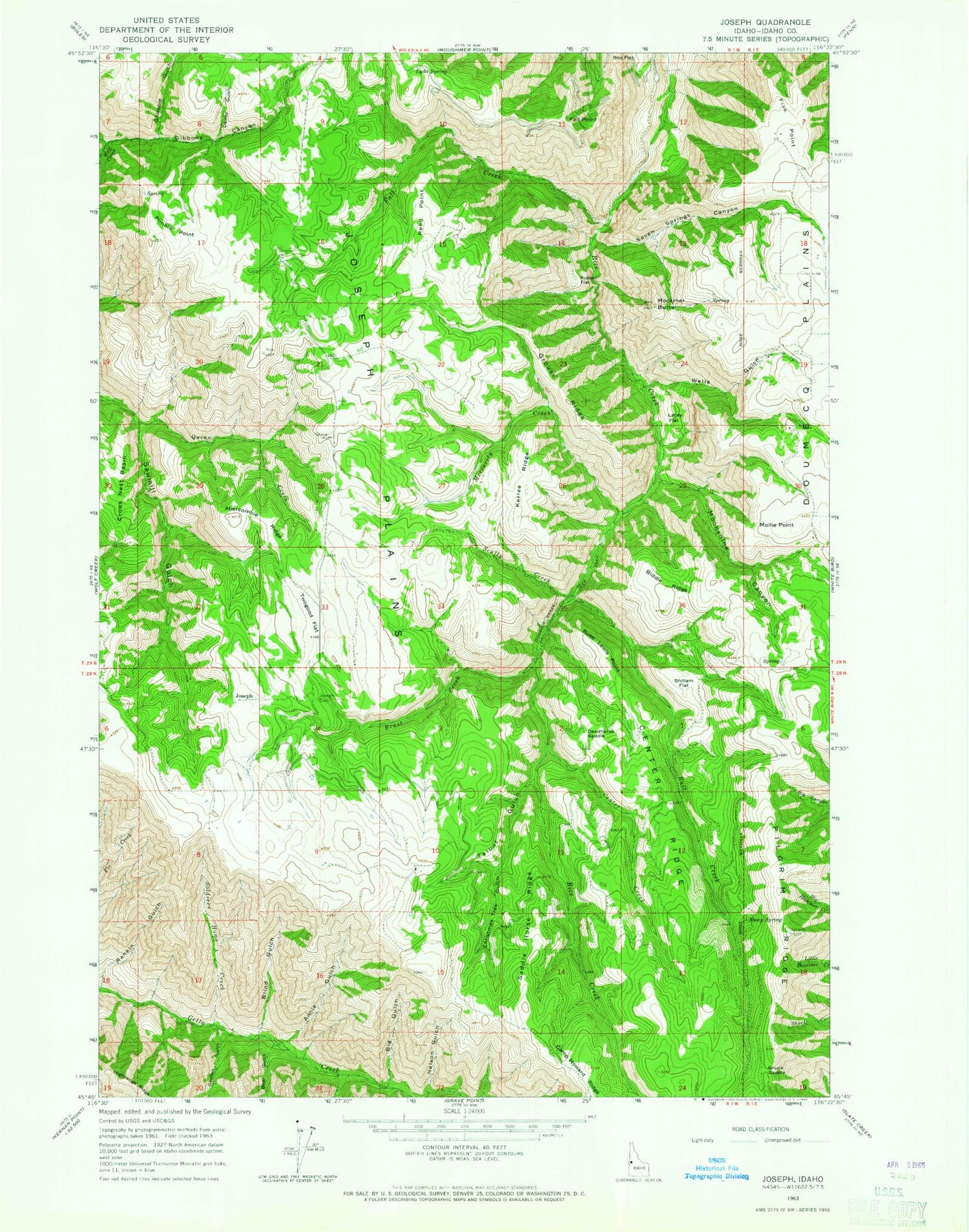
Classic USGS Joseph Idaho 7.5'x7.5' Topo Map
Couldn't load pickup availability
Historical USGS topographic quad map of Joseph in the state of Idaho. Map scale may vary for some years, but is generally around 1:24,000. Print size is approximately 24" x 27"
This quadrangle is in the following counties: Idaho.
The map contains contour lines, roads, rivers, towns, and lakes. Printed on high-quality waterproof paper with UV fade-resistant inks, and shipped rolled.
Contains the following named places: Abercombie Ridge, Annie Gulch, Bear Gulch, Biddle Ridge, Big Gulch, Blind Gulch, Box Flat, Brust Creek, Canfield Cemetery, Center Creek, Center Ridge, Christmas Tree Gulch, Crows Nest Basin, Deadhorse Saddle, Dewey Gulch, Fall Creek, Fall Point, Fick Point, Garden Gulch, Gibbons Canyon, Gillespie Gulch, Grouse Ridge, Joseph, Joseph Cemetery, Kerlee Ridge, Kidder Flat, Lacey Flat, Lyda Spring, Mockmer Butte, Mollie Point, Moonshine Canyon, Nelson Gulch, Pimble Point, Rail Creek, Reed Point, Rose Lewis Point, Saddle Horse Ridge, Scully Creek, Seven Springs Canyon, Sheep Spring, Shillam Flat, Shuck Saddle, Soldiers Home Creek, Talbot Gulch, Twogood Flat, Wells Gulch