MyTopo
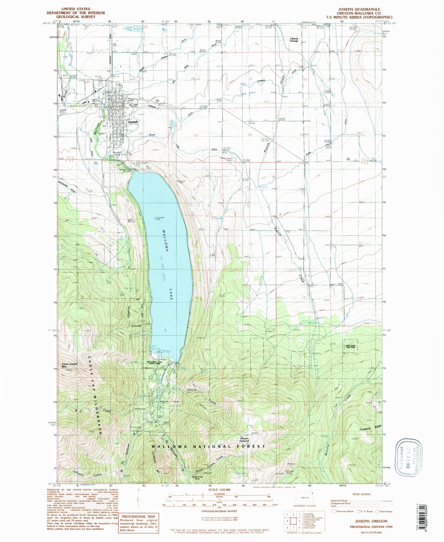
Classic USGS Joseph Oregon 7.5'x7.5' Topo Map
Couldn't load pickup availability
Historical USGS topographic quad map of Joseph in the state of Oregon. Typical map scale is 1:24,000, but may vary for certain years, if available. Print size: 24" x 27"
This quadrangle is in the following counties: Wallowa.
The map contains contour lines, roads, rivers, towns, and lakes. Printed on high-quality waterproof paper with UV fade-resistant inks, and shipped rolled.
Contains the following named places: B C Creek, Big Bend Ditch, Old Chief Joseph Gravesite, Coye Ditch, East Fork Wallowa River, Farmers Ditch, Ferguson Ridge, Johnson Creek, Joseph, Knights Pond, Liberty Grange, Moonshine Ditch, Prairie Creek Cemetery, Royal Purple Creek, Silver Lake Ditch, Spring Creek, Transvaal Mines, Wallowa Lake, West Fork Wallowa River, Wrenn Dobbin Ditch, Standley Creek, West Fork Prairie Creek, Bug Creek, Gates Pond, Roudoth Spring, Mount Howard Gondola Lift, Mount Howard, Wallowa Lake Dam, Mount Howard Gondola Recreation Site, McColly Trailhead, Joseph Grain Elevator, Chief Joseph Cemetery Recreation Site, Wallowa Lake Forest Service Station, Boy Scout Camp, Wallowa Lake Trailhead, Royal Purple Mine, Wallowa Lake State Park, Wallowa Falls, Joseph Post Office, Prairie Creek Post Office (historical), Wallowa Lake Lodge, City of Joseph, Joseph Elementary School, Joseph High School, Joseph Fire Department, Wallowa Lake fire station, Wallowa Lake Census Designated Place, Wallowa Lake State Park Boat Ramp, North Wallowa Lake Boat Ramp, Wallowa Lake State Park Marina, Joseph Rodeo Grounds, Wallowa County Museum, Joseph City Hall, Joseph Public Works Department Office, Joseph City Library, Joseph Police Department


