MyTopo
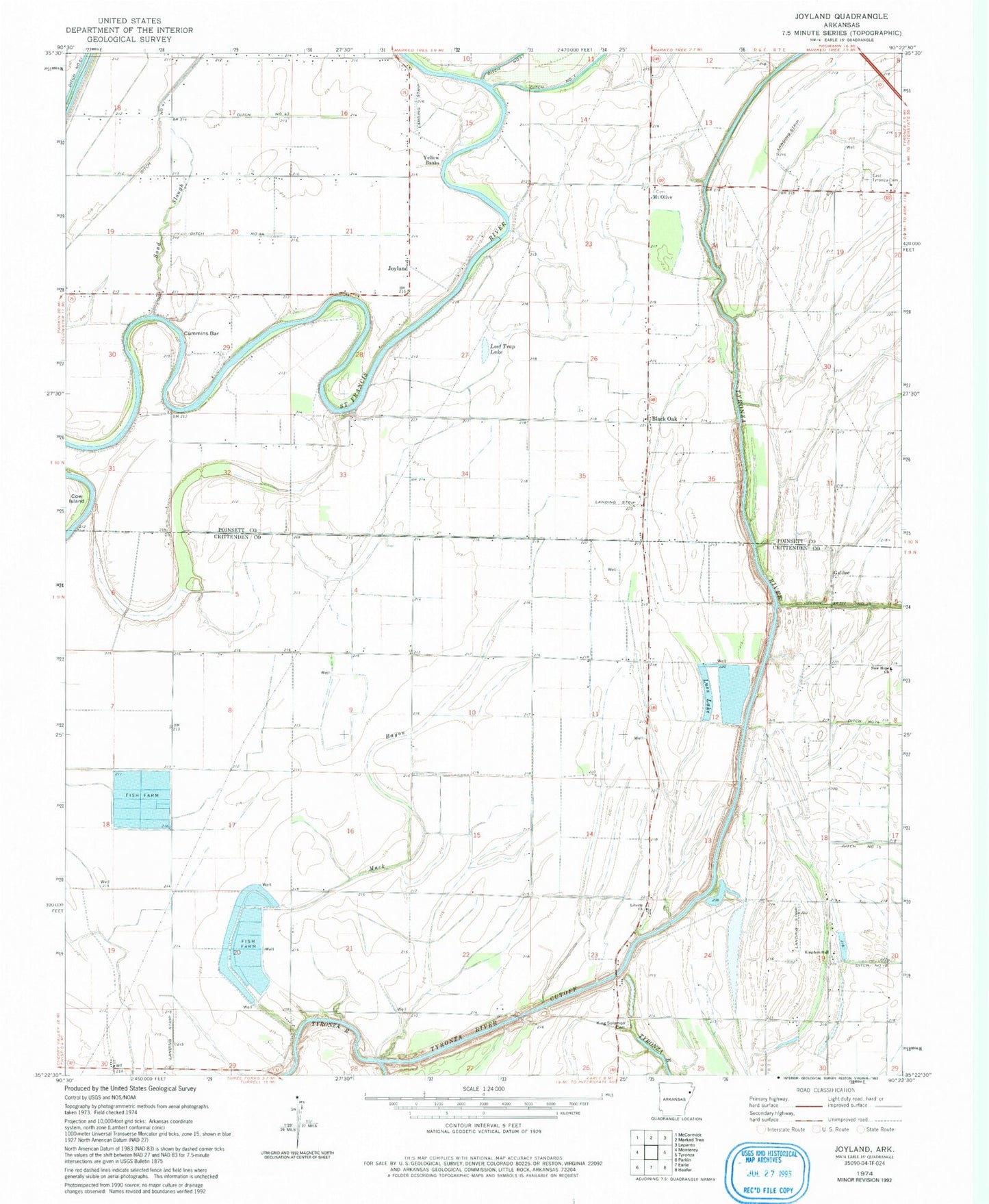
Classic USGS Joyland Arkansas 7.5'x7.5' Topo Map
Couldn't load pickup availability
Historical USGS topographic quad map of Joyland in the state of Arkansas. Map scale may vary for some years, but is generally around 1:24,000. Print size is approximately 24" x 27"
This quadrangle is in the following counties: Crittenden, Poinsett.
The map contains contour lines, roads, rivers, towns, and lakes. Printed on high-quality waterproof paper with UV fade-resistant inks, and shipped rolled.
Contains the following named places: Black Oak, Black Oak Baptist Church, Black Oak School, Broad Mouth Lake, Cow Island, Cummins Bar, Ditch Number 14, Ditch Number 15, Ditch Number 18, Ditch Number 43, Ditch Number 44, East Tyronza Cemetery, Galilee, Galilee Church, Galilee School, Joyland, King Solomon Cemetery, King Solomon Church, King Solomon School, Kingdom Hall, Liberty Church, Lost Trap Lake, Luss Lake, Mack Bayou, Macks Baoy, Mount Olive, Mount Olive Cemetery, Mount Olive Church, New Hope Church, Saint Church, Saint Pauls Church, Sand Slough, Township of Black Oak, Tyronza River Cutoff, Wooden Chapel, Yellow Banks