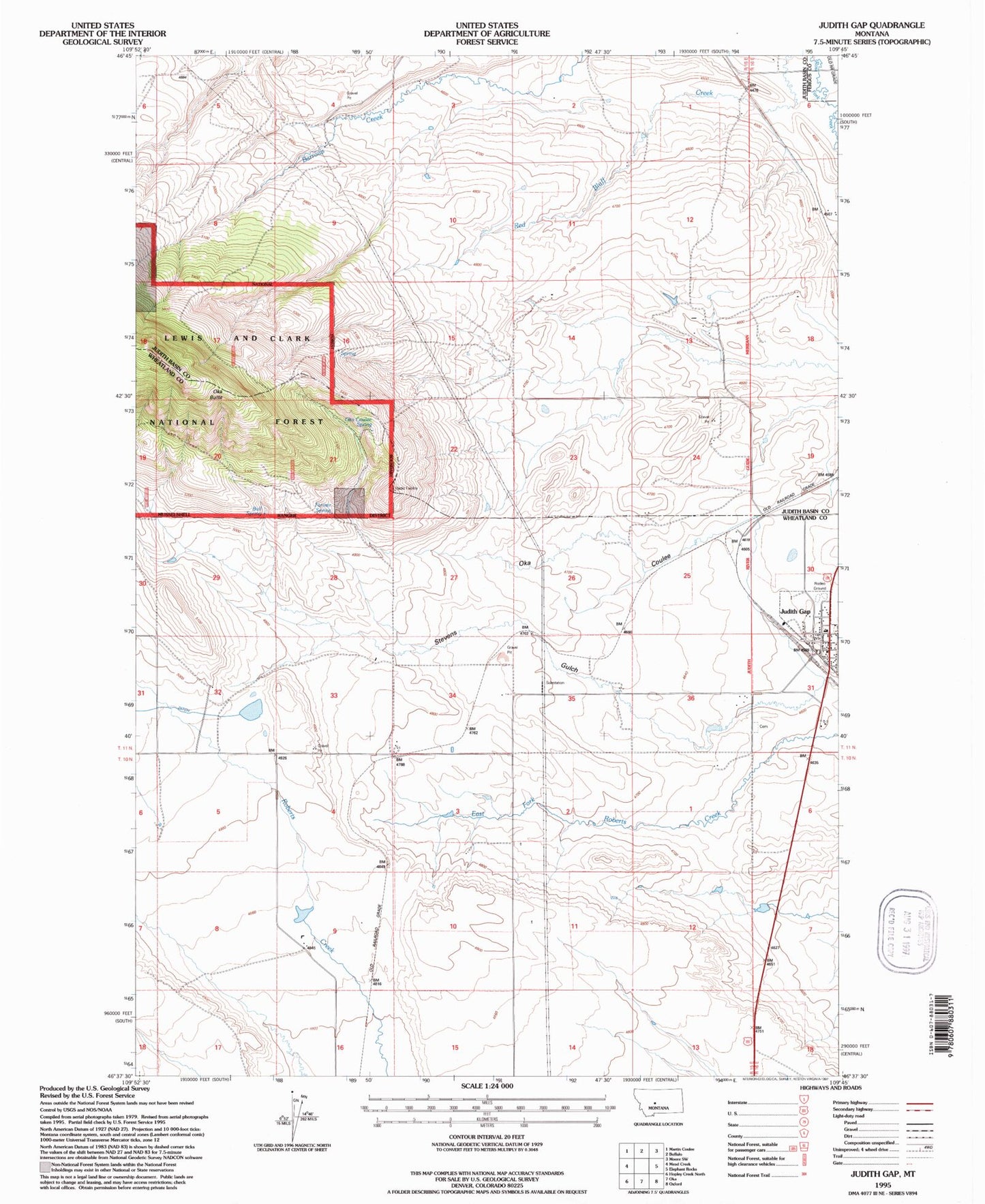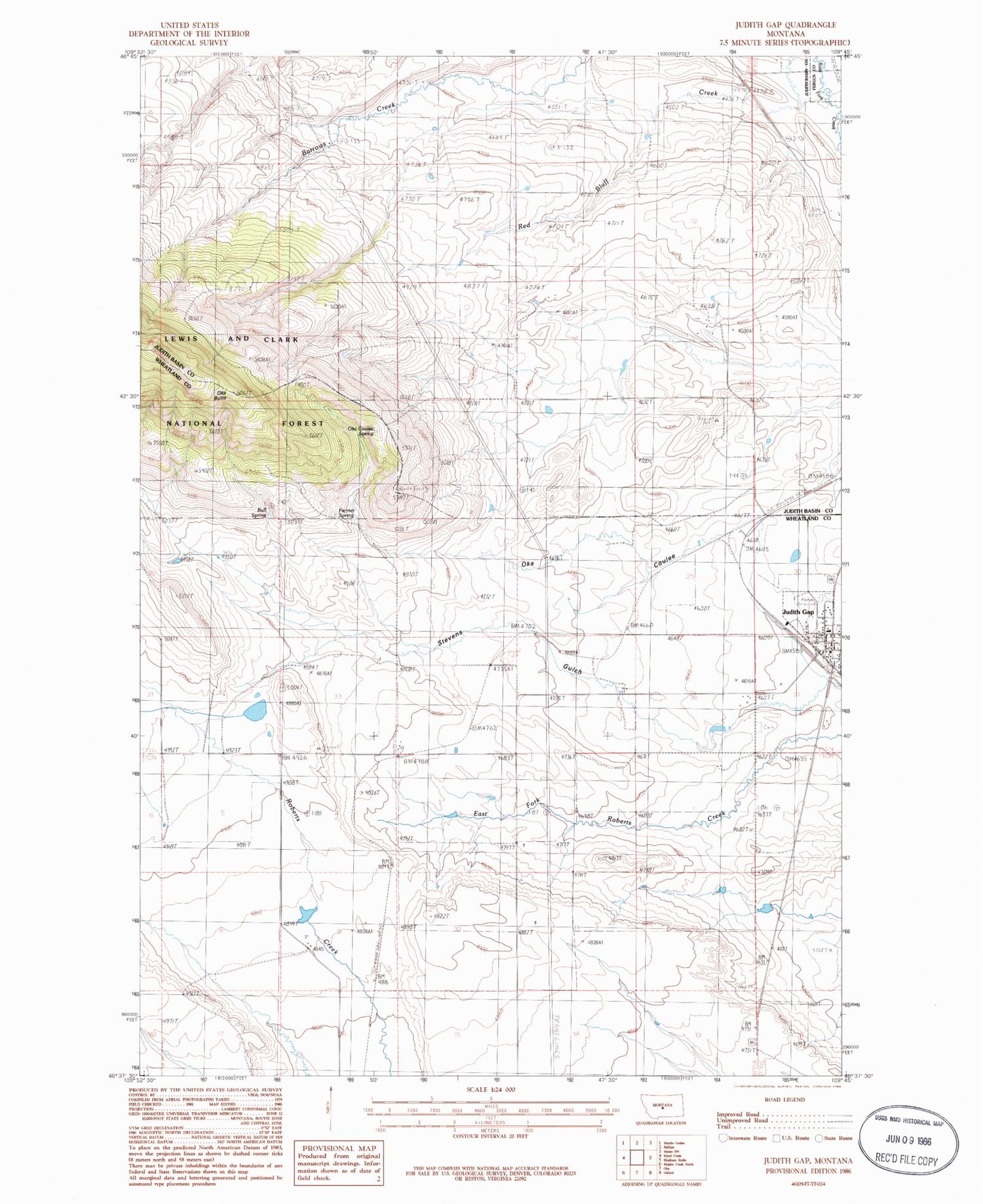
MyTopo
Classic USGS Judith Gap Montana 7.5'x7.5' Topo Map
Couldn't load pickup availability
Historical USGS topographic quad map of Judith Gap in the state of Montana. Map scale may vary for some years, but is generally around 1:24,000. Print size is approximately 24" x 27"
This quadrangle is in the following counties: Fergus, Judith Basin, Wheatland.
The map contains contour lines, roads, rivers, towns, and lakes. Printed on high-quality waterproof paper with UV fade-resistant inks, and shipped rolled.
Contains the following named places: 11N15E03BC__01 Well, 11N15E04CD__01 Well, 11N15E13BA__01 Well, 11N15E14DD__01 Well, 11N15E24AC__01 Well, 11N15E24AC__02 Well, 11N15E24DD__01 Well, 11N15E34C___01 Well, 11N15E35____01 Well, 11N16E07CD__01 Well, 11N16E31____01 Well, Bull Spring, City of Judith Gap, Dallas, Farmer Spring, Immaculate Conception Mission, Judith Gap, Judith Gap Cemetery, Judith Gap Junction, Judith Gap Post Office, Judith Gap Public Schools, Judith Gap Volunteer Fire Department, Oka Butte, Oka Coulee, Oka Coulee Spring, Ozone Layer Dam, Ubet - Garneill Cemetery, United Methodist Church, Wheatland County Ambulance Judith Gap