
MyTopo
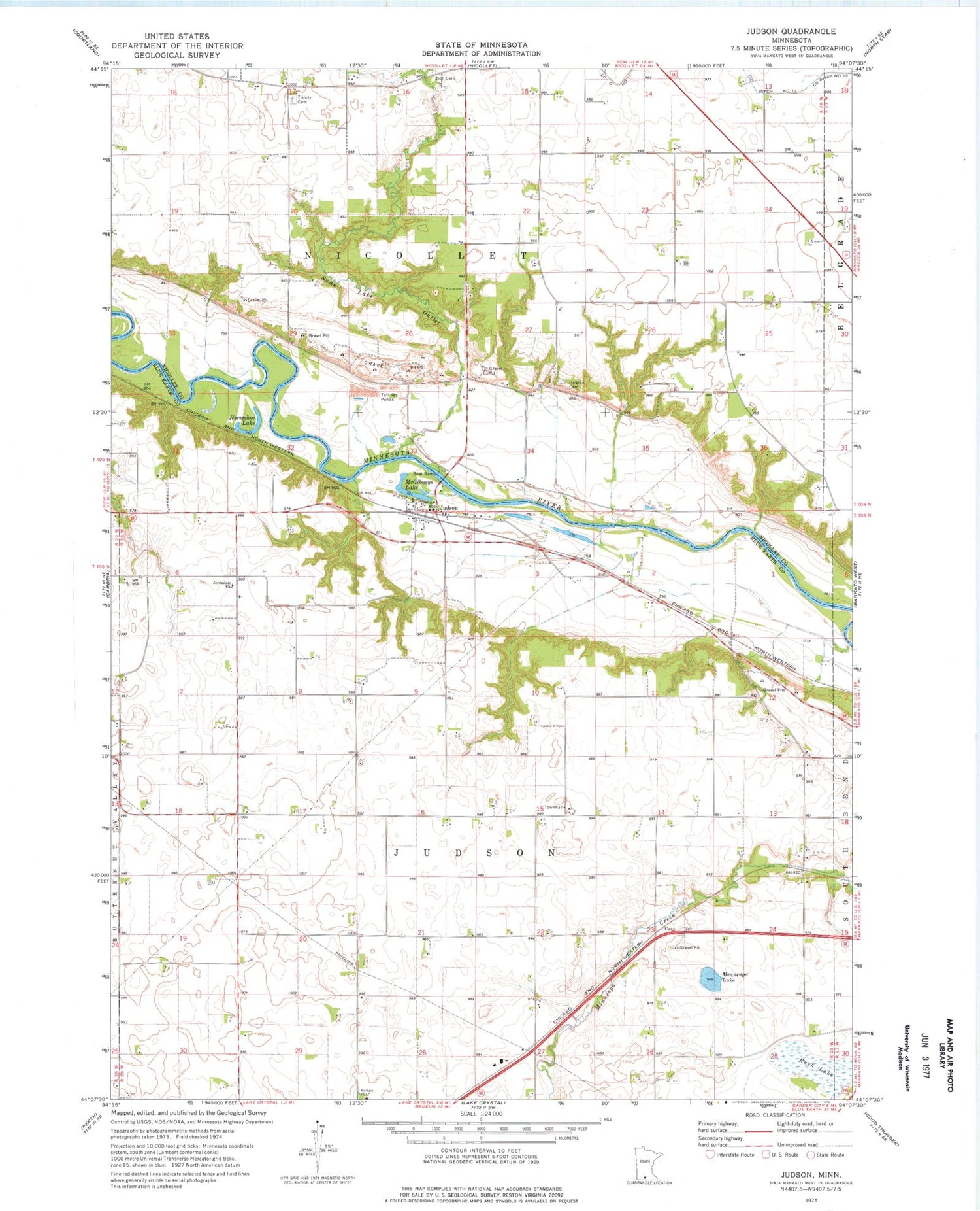
Classic USGS Judson Minnesota 7.5'x7.5' Topo Map
Couldn't load pickup availability
Historical USGS topographic quad map of Judson in the state of Minnesota. Map scale may vary for some years, but is generally around 1:24,000. Print size is approximately 24" x 27"
This quadrangle is in the following counties: Blue Earth, Nicollet.
The map contains contour lines, roads, rivers, towns, and lakes. Printed on high-quality waterproof paper with UV fade-resistant inks, and shipped rolled.
Contains the following named places: Hebron Cemetery, Horseshoe Lake, Jerusalem Cemetery, Judson, Judson Post Office, KXLP-FM (New Ulm), McGibneys Lake, Mennenga Lake, Michels Farm Airport, Rush Lake, Swan Lake Outlet, Township of Judson, Township of Nicollet, Trinity Cemetery, Welsh Heritage Farms, Williams Cemetery, Zion Cemetery, ZIP Code: 56055


