MyTopo
Classic USGS Jug Canyon New Mexico 7.5'x7.5' Topo Map
Regular price
$16.95
Regular price
Sale price
$16.95
Unit price
per
Couldn't load pickup availability
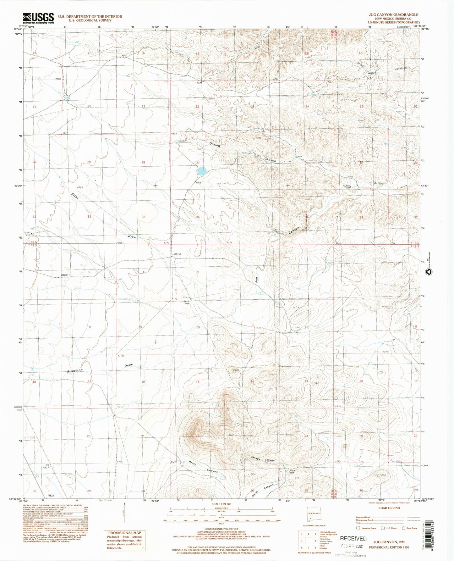
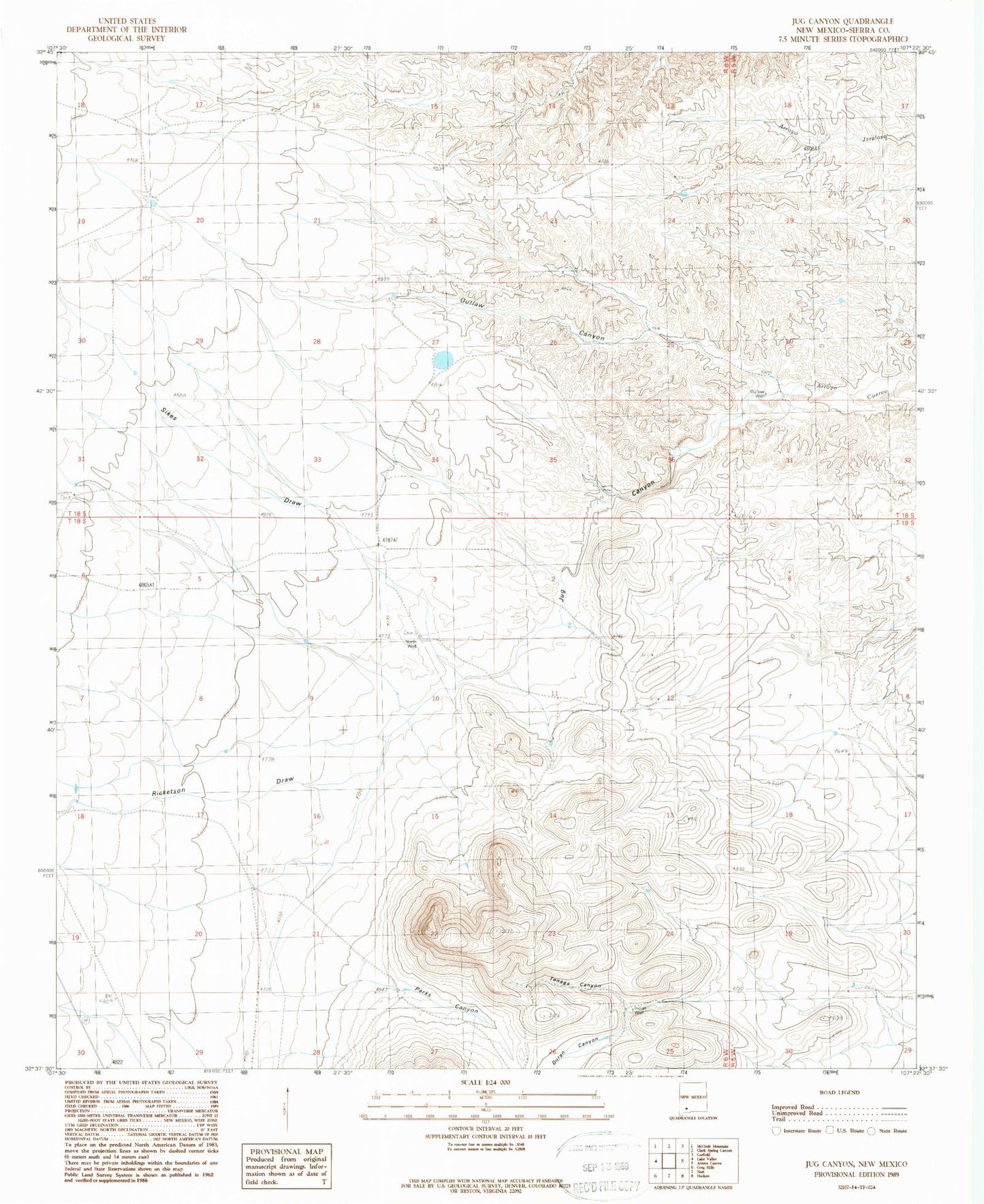
Historical USGS topographic quad map of Jug Canyon in the state of New Mexico. Map scale may vary for some years, but is generally around 1:24,000. Print size is approximately 24" x 27"
This quadrangle is in the following counties: Sierra.
The map contains contour lines, roads, rivers, towns, and lakes. Printed on high-quality waterproof paper with UV fade-resistant inks, and shipped rolled.
Contains the following named places: Duncan Ranch, Duran Canyon, Indian Well, Jug Canyon, North Well, Nunn Lease, Nunn S State Lease, Outlaw Canyon, Outlaw Well, Parks Canyon, Ricketson Draw, Sikes Draw, Tenaga Canyon