MyTopo
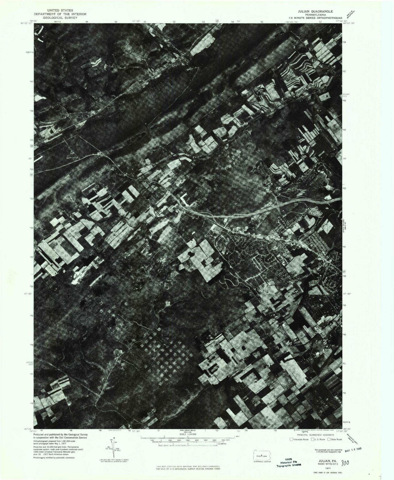
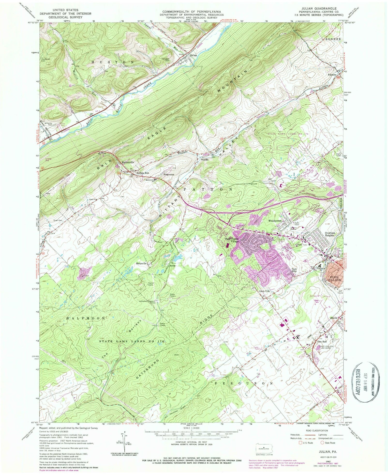
Classic USGS Julian Pennsylvania 7.5'x7.5' Topo Map
Couldn't load pickup availability
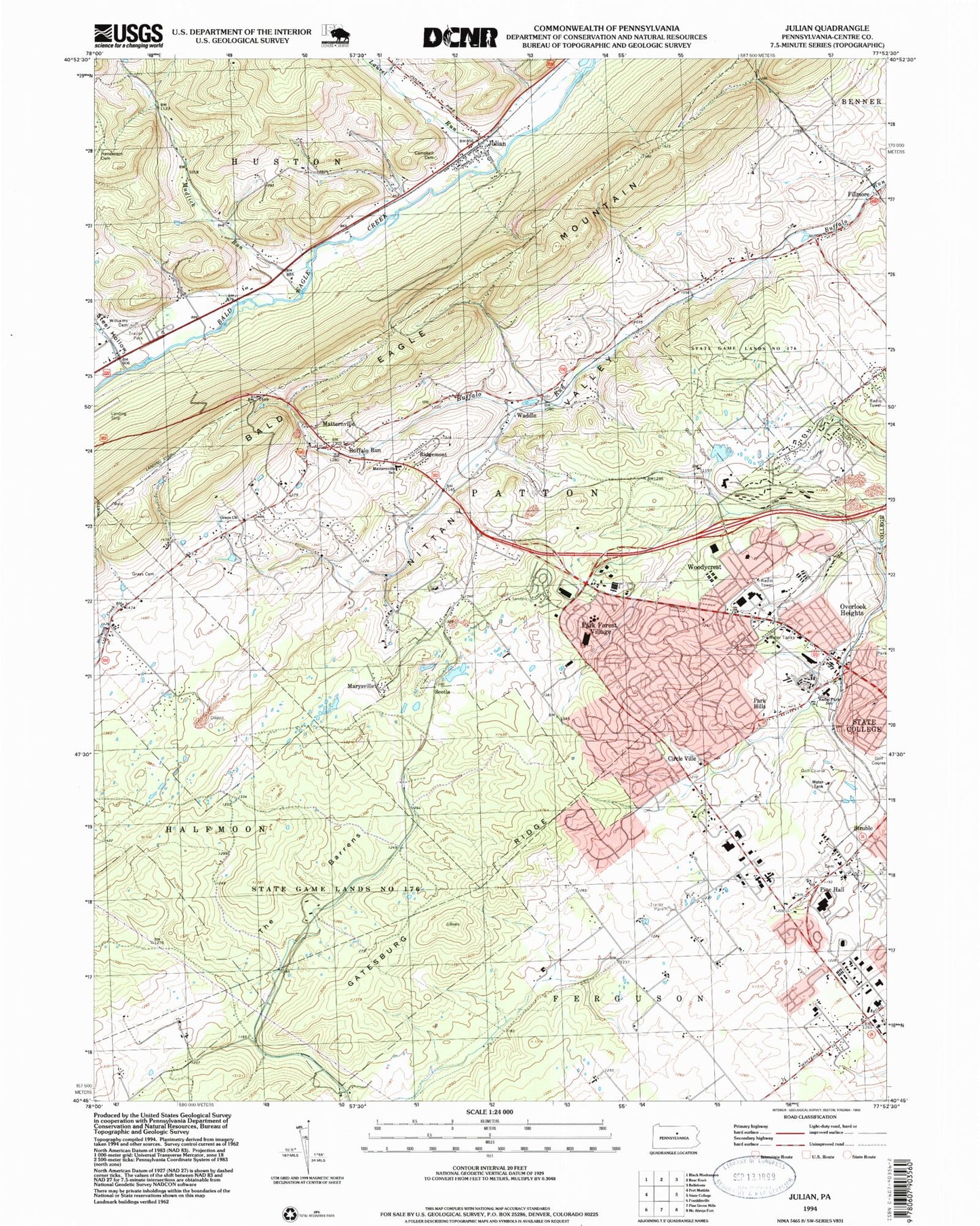
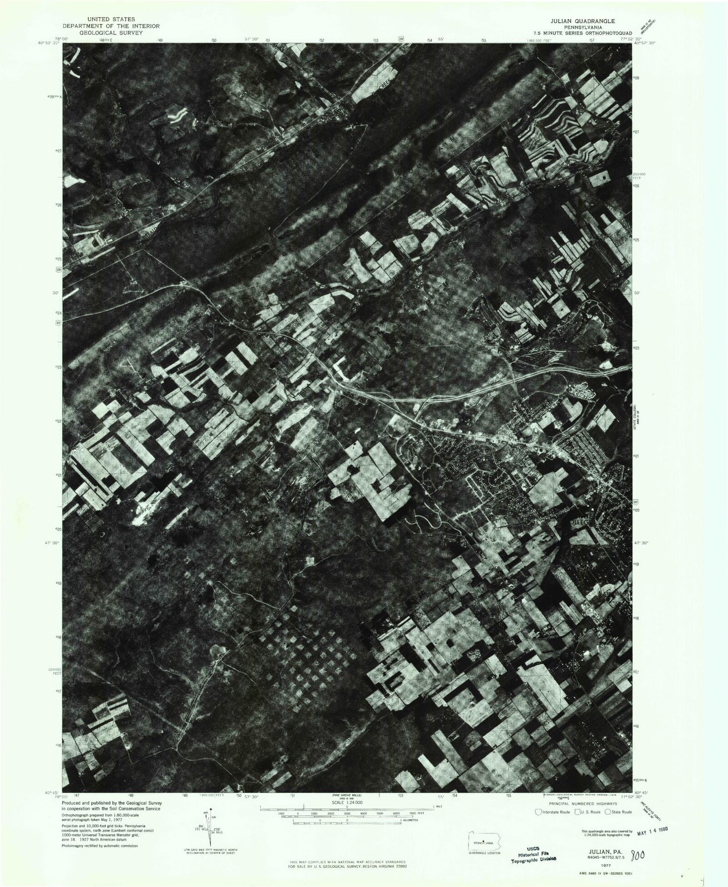
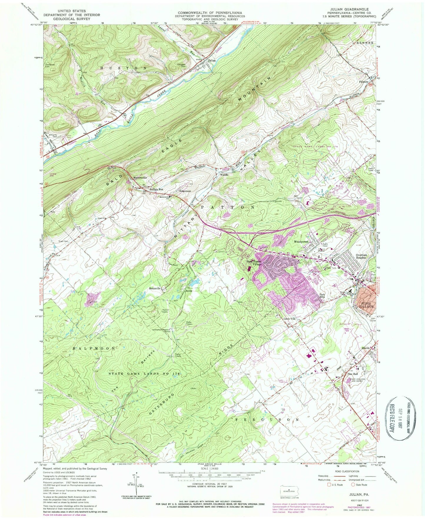
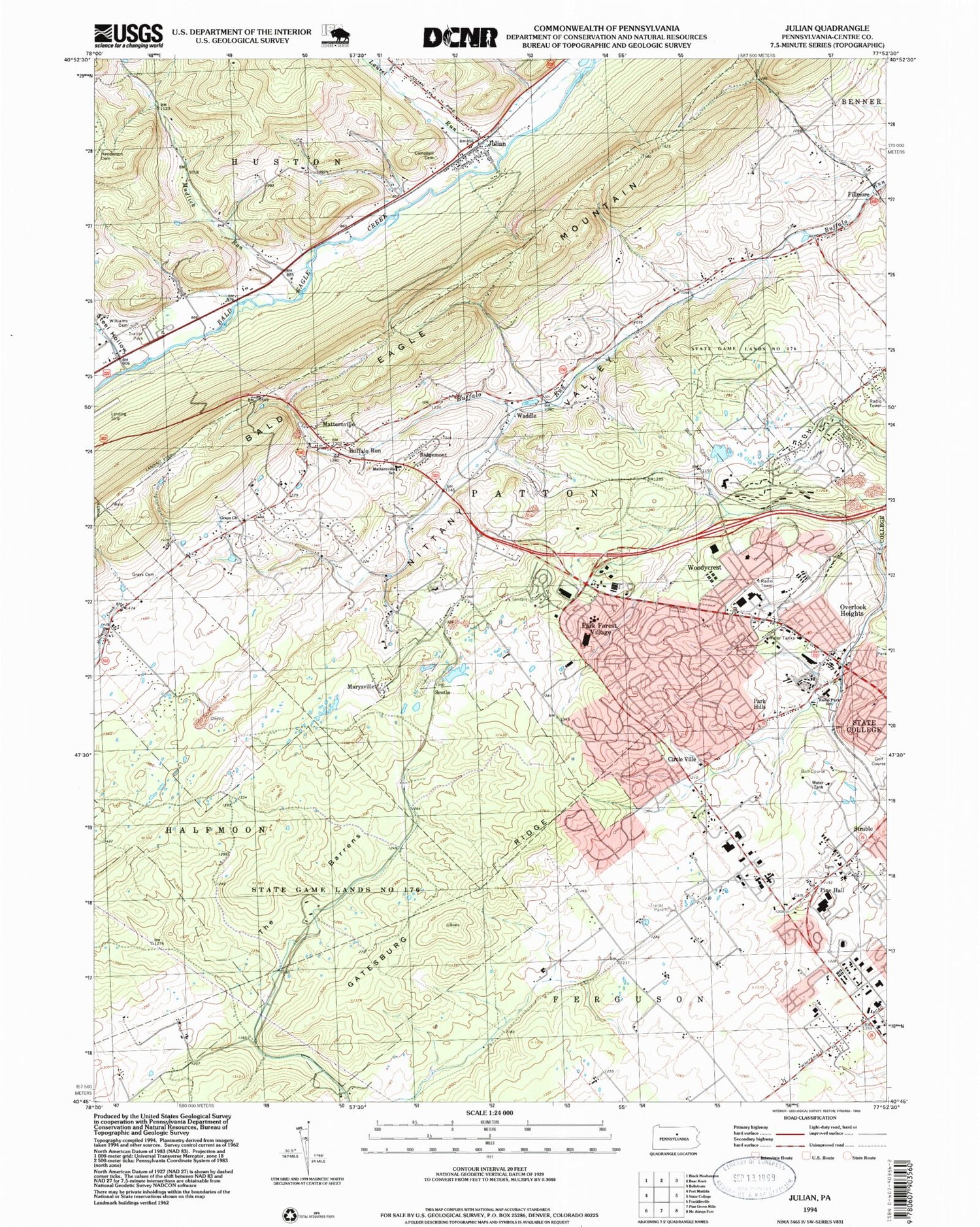
Historical USGS topographic quad map of Julian in the state of Pennsylvania. Typical map scale is 1:24,000, but may vary for certain years, if available. Print size: 24" x 27"
This quadrangle is in the following counties: Centre.
The map contains contour lines, roads, rivers, towns, and lakes. Printed on high-quality waterproof paper with UV fade-resistant inks, and shipped rolled.
Contains the following named places: Buffalo Run, Campbell Cemetery, Circle Ville, Fillmore, Gatesburg Ridge, Grays Cemetery, Grays Church, Henderson Cemetery, Ionosphere Research Station, Julian, Marysville, Matternville, Matternville School, Mudlick Run, Nittany Valley, Nittany Valley, Overlook Heights, Park Forest Village, Park Hills, Pine Hall, State Game Lands Number 176, Struble, Williams Cemetery, Laurel Run, Steel Hollow, The Barrens, State College Air Depot (historical), Eagle Field, Dillen Airport (historical), Silverdale School (historical), Mattern Junction (historical), Bloomsdorf, Altro (historical), Krumrine, Briarly, Waddle, WQWK-FM (University Park), WQWK-FM (State College), WRSC-AM (State College), Ridgemont, Scotia, Bald Eagle Lookout, Toftrees Golf Course, State College Area Junior High School, Park Forest Elementary School, Woodlawn Middle School, Radio Park Elementary School, Township of Huston, Township of Patton, Woodycrest, Park Forest Village Census Designated Place, Julian Census Designated Place, Ziggy's Field (historical), Toftrees Census Designated Place, Toftrees, Alpha Fire Company 5 Patton Station, Bernel Farm, Guiser Farms, Harner Farms, Kradel Acres Farm, Pine Hall Cemetery, Old Pine Hall Cemetery, Julian Post Office, Patton Township Police Department, Buffalo Run, Campbell Cemetery, Circle Ville, Fillmore, Gatesburg Ridge, Grays Cemetery, Grays Church, Henderson Cemetery, Ionosphere Research Station, Julian, Marysville, Matternville, Matternville School, Mudlick Run, Nittany Valley, Nittany Valley, Overlook Heights, Park Forest Village, Park Hills, Pine Hall, State Game Lands Number 176, Struble, Williams Cemetery, Laurel Run, Steel Hollow, The Barrens, State College Air Depot (historical), Eagle Field, Dillen Airport (historical), Silverdale School (historical), Mattern Junction (historical), Bloomsdorf, Altro (historical), Krumrine, Briarly, Waddle, WQWK-FM (University Park), WQWK-FM (State College), WRSC-AM (State College), Ridgemont, Scotia, Bald Eagle Lookout, Toftrees Golf Course, State College Area Junior High School, Park Forest Elementary School, Woodlawn Middle School, Radio Park Elementary School, Township of Huston, Township of Patton, Woodycrest, Park Forest Village Census Designated Place, Julian Census Designated Place, Ziggy's Field (historical), Toftrees Census Designated Place, Toftrees, Alpha Fire Company 5 Patton Station, Bernel Farm, Guiser Farms, Harner Farms, Kradel Acres Farm, Pine Hall Cemetery, Old Pine Hall Cemetery, Julian Post Office, Patton Township Police Department
