MyTopo
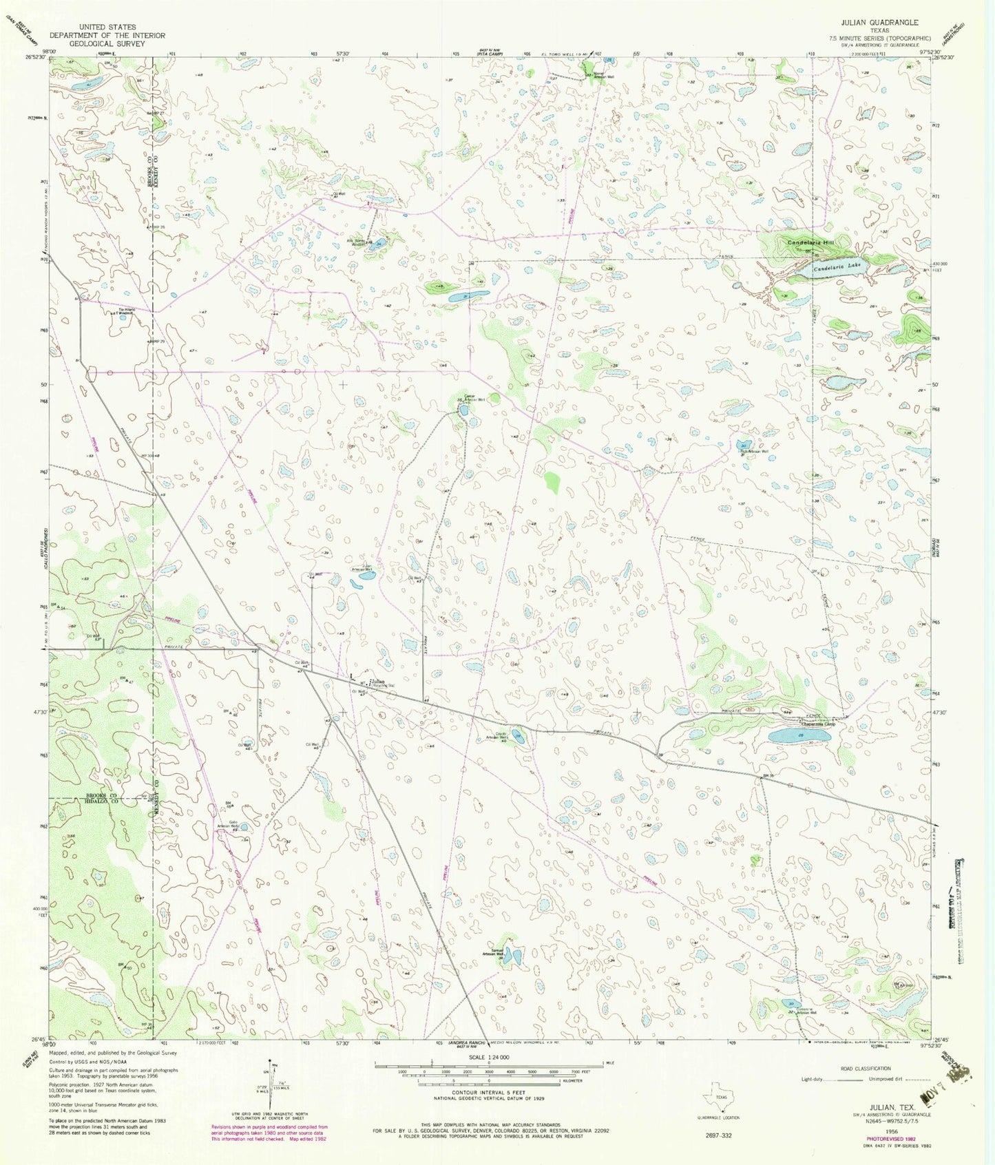
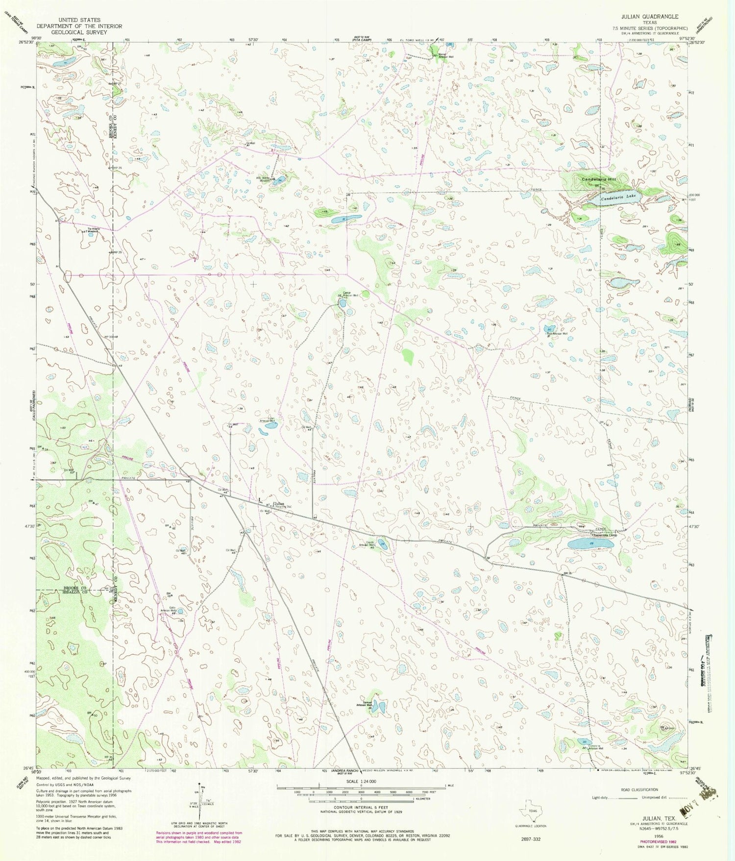
Classic USGS Julian Texas 7.5'x7.5' Topo Map
Couldn't load pickup availability
Historical USGS topographic quad map of Julian in the state of Texas. Map scale may vary for some years, but is generally around 1:24,000. Print size is approximately 24" x 27"
This quadrangle is in the following counties: Brooks, Hidalgo, Kenedy.
The map contains contour lines, roads, rivers, towns, and lakes. Printed on high-quality waterproof paper with UV fade-resistant inks, and shipped rolled.
Contains the following named places: Alazan Artesian Well, Alto Bonito Windmill, Caesar Artesian Well, Candelaria Hill, Candelaria Lake, Chaparrosa Camp, Comanche Artesian Well, Coyote Artesian Well, Gallo Artesian Well, Julian, Julian Artesian Well, Rich Artesian Well, Samuel Artesian Well, Tio Hilario Windmill