MyTopo
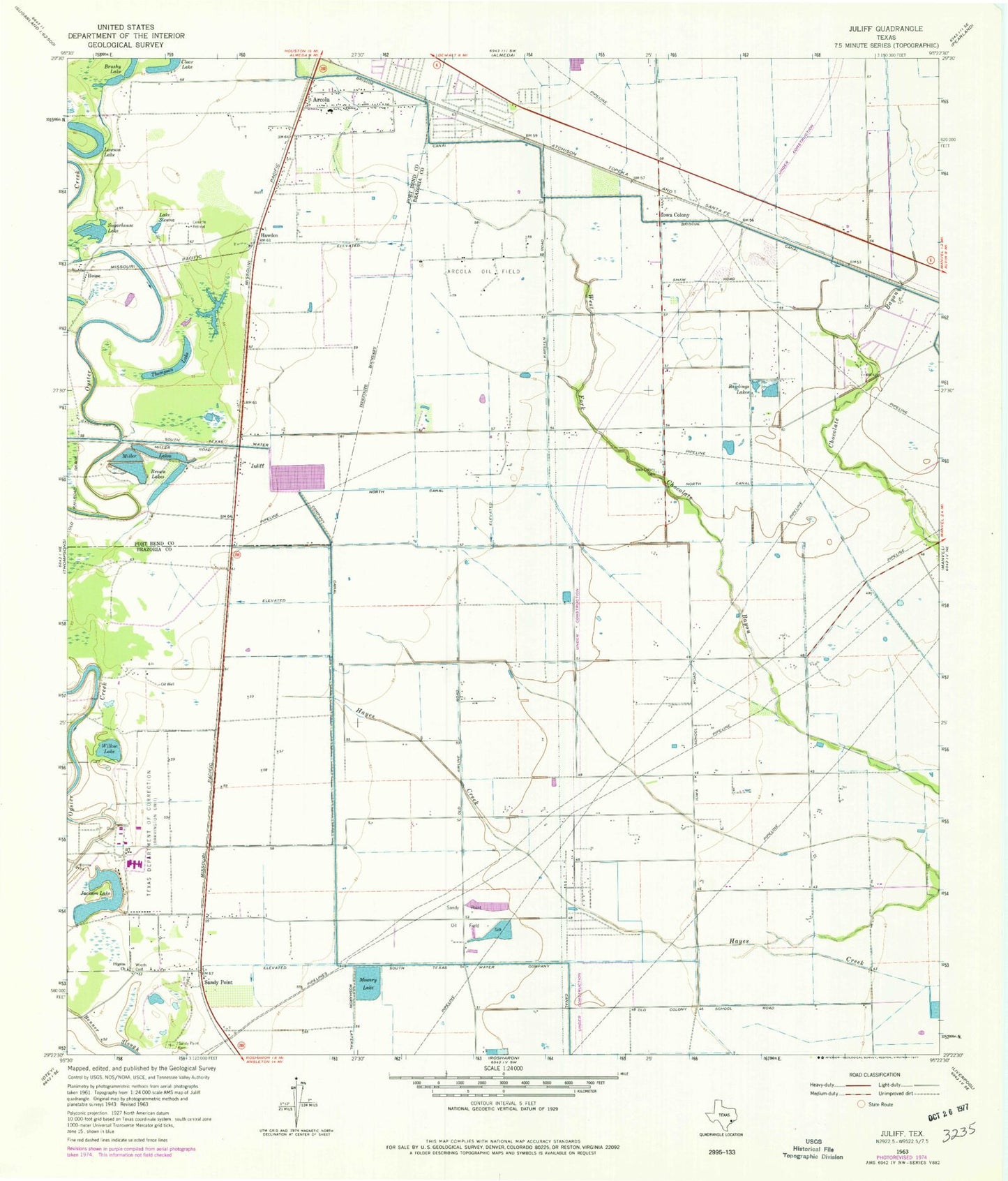
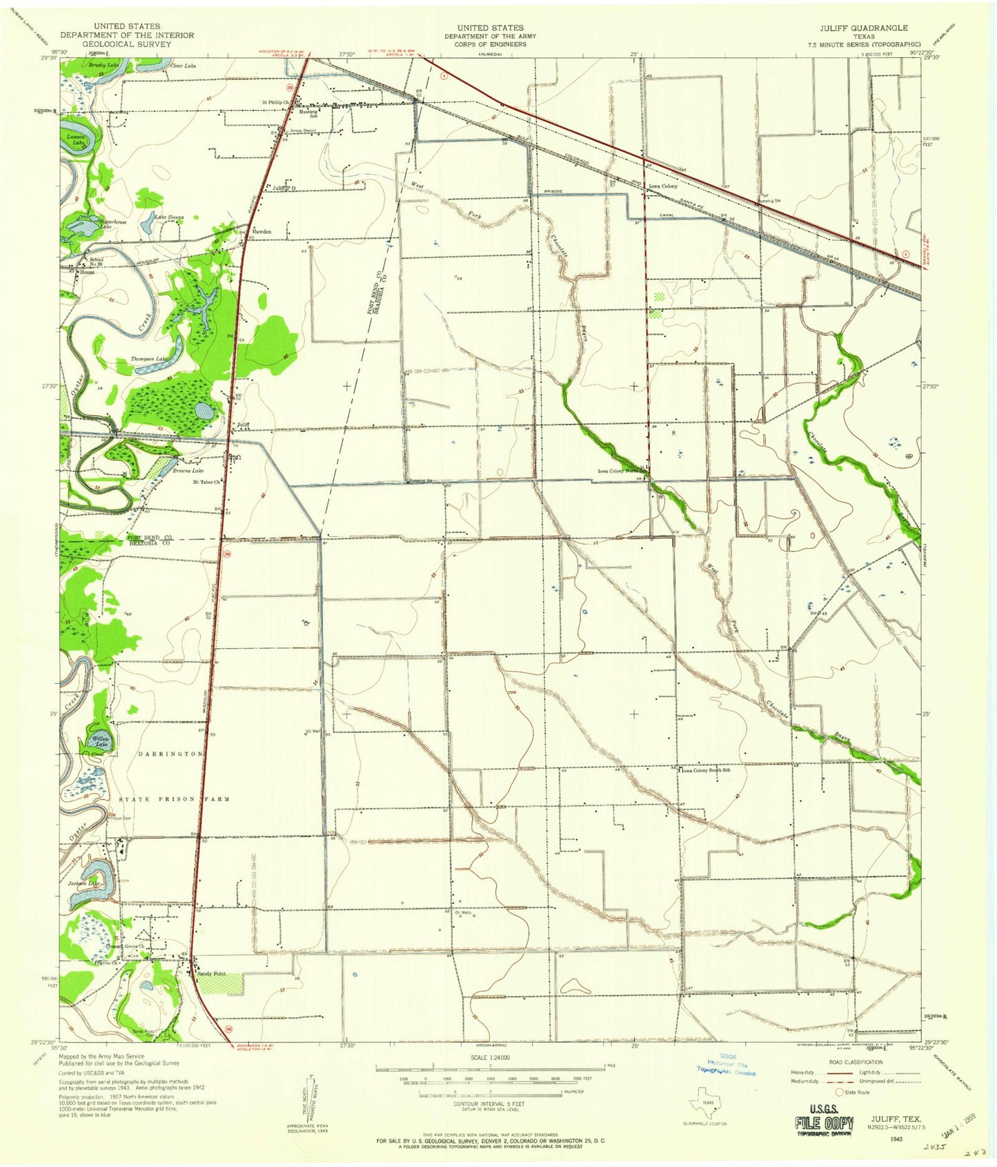
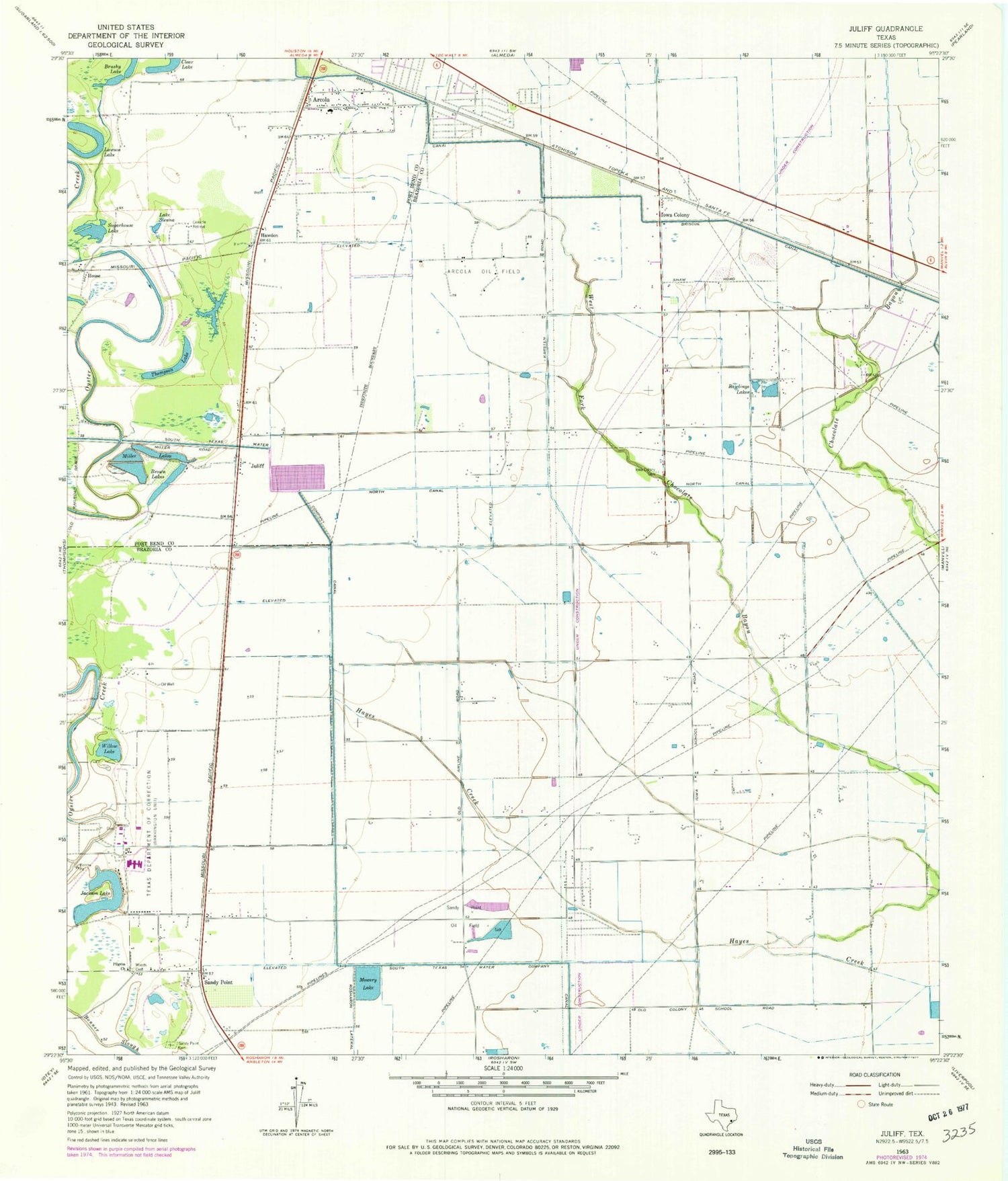
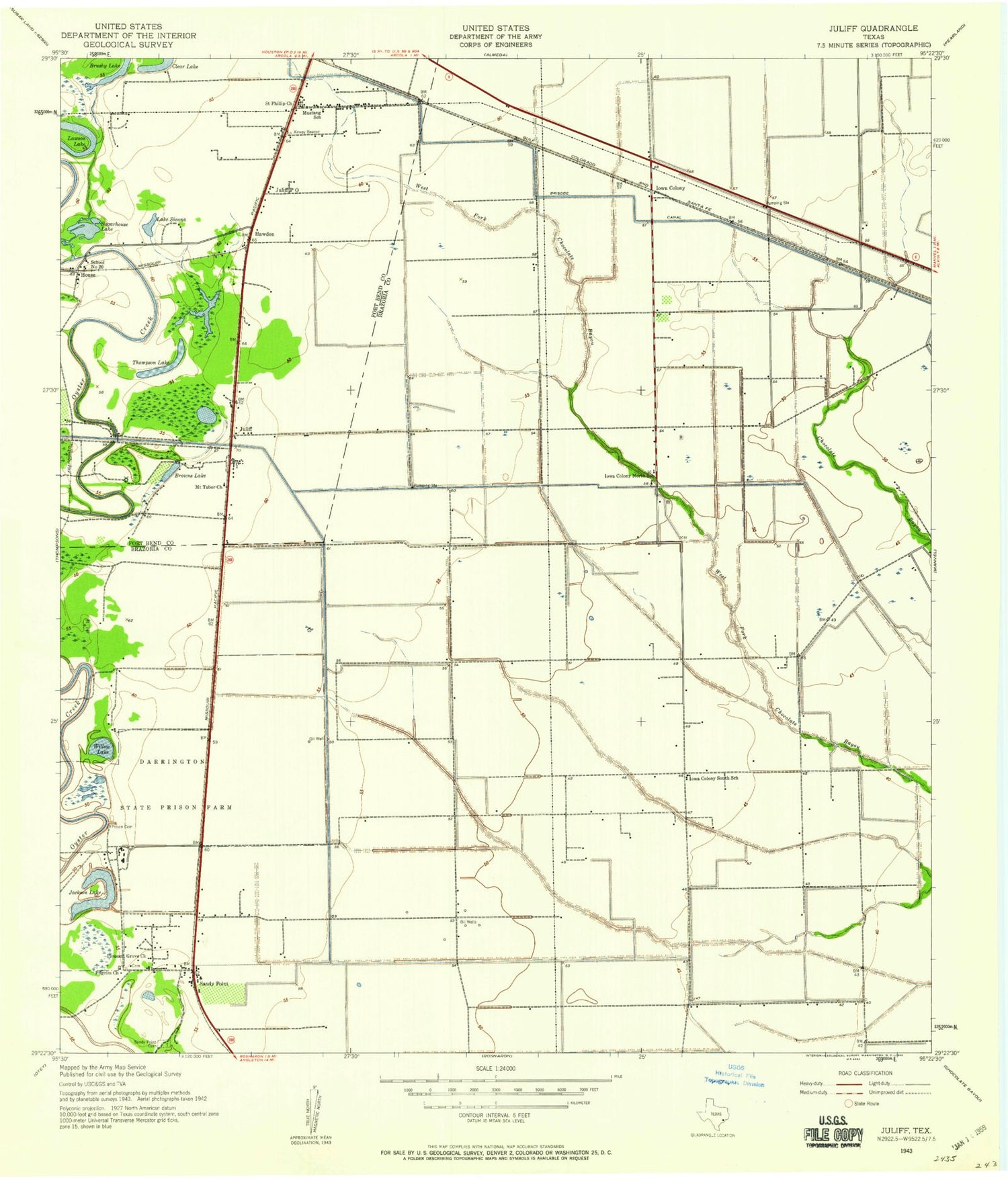
Classic USGS Juliff Texas 7.5'x7.5' Topo Map
Couldn't load pickup availability
Historical USGS topographic quad map of Juliff in the state of Texas. Map scale may vary for some years, but is generally around 1:24,000. Print size is approximately 24" x 27"
This quadrangle is in the following counties: Brazoria, Fort Bend.
The map contains contour lines, roads, rivers, towns, and lakes. Printed on high-quality waterproof paper with UV fade-resistant inks, and shipped rolled.
Contains the following named places: Arcola, Arcola Oil Field, Bayless Airport, Brown Lakes, Brushy Lake, Cenacle Retreat, City of Sandy Point, Clear Lake, Hawdon, Helitrans Heliport, House, Iowa Colony, Iowa Colony Cemetery, Iowa Colony City Hall, Iowa Colony Volunteer Fire Department, Jackson Lake, Juliff, Lake Jackson, Lake Jackson Levee, Lake Sienna, Lawson Lake, Miller Lakes, Mount Tabor Baptist Church, Mowery Lake, Mowery Lake Levee, North Canal, Palestine Missionary Baptist Church, Pilgrim Church, Pilgrim Missonary Baptist Church, Rawlings Lakes, Sandy Point, Sandy Point Cemetery, Sugarhouse Lake, Texas Department of Criminal Justice Darrington Unit, Thompson Lake, Village of Iowa Colony, Willow Lake, Woods Cemetery, ZIP Code: 77583


