MyTopo
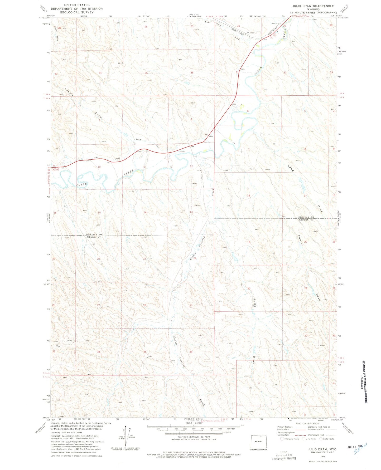
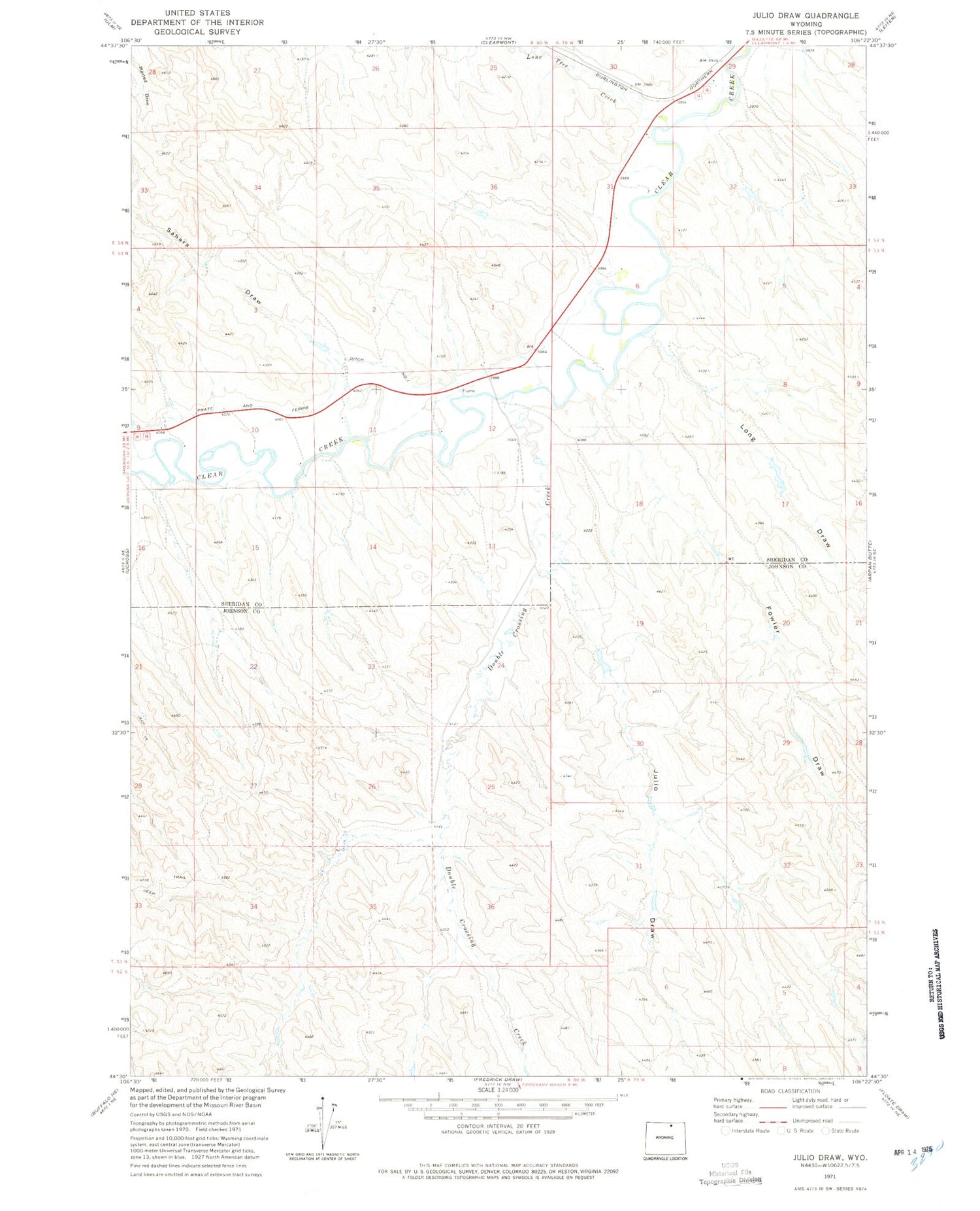
Classic USGS Julio Draw Wyoming 7.5'x7.5' Topo Map
Couldn't load pickup availability
Historical USGS topographic quad map of Julio Draw in the state of Wyoming. Map scale may vary for some years, but is generally around 1:24,000. Print size is approximately 24" x 27"
This quadrangle is in the following counties: Johnson, Sheridan.
The map contains contour lines, roads, rivers, towns, and lakes. Printed on high-quality waterproof paper with UV fade-resistant inks, and shipped rolled.
Contains the following named places: Big Donaldson Dam, Big Donaldson Reservoir, Donaldson Dam, Donaldson Reservoir, Double Crossing Creek, Fowler Dam, Fowler Draw, Fowler Reservoir, Green Cabin Dam, Green Cabin Number 3 Reservoir, Green Cabin Reservoir, Henry Dam, Henry Reservoir, Julio Draw, Landeck Irrigation Dam, Landeck Irrigation Reservoir, Lone Tree Creek, Long Draw, Pinhead Creek, Pratt and Ferris Ditch Number 1, Sahara Draw, Twin Number 1 Dam, Twin Number 1 Reservoir, Van Noy Dam, Van Noy Reservoir