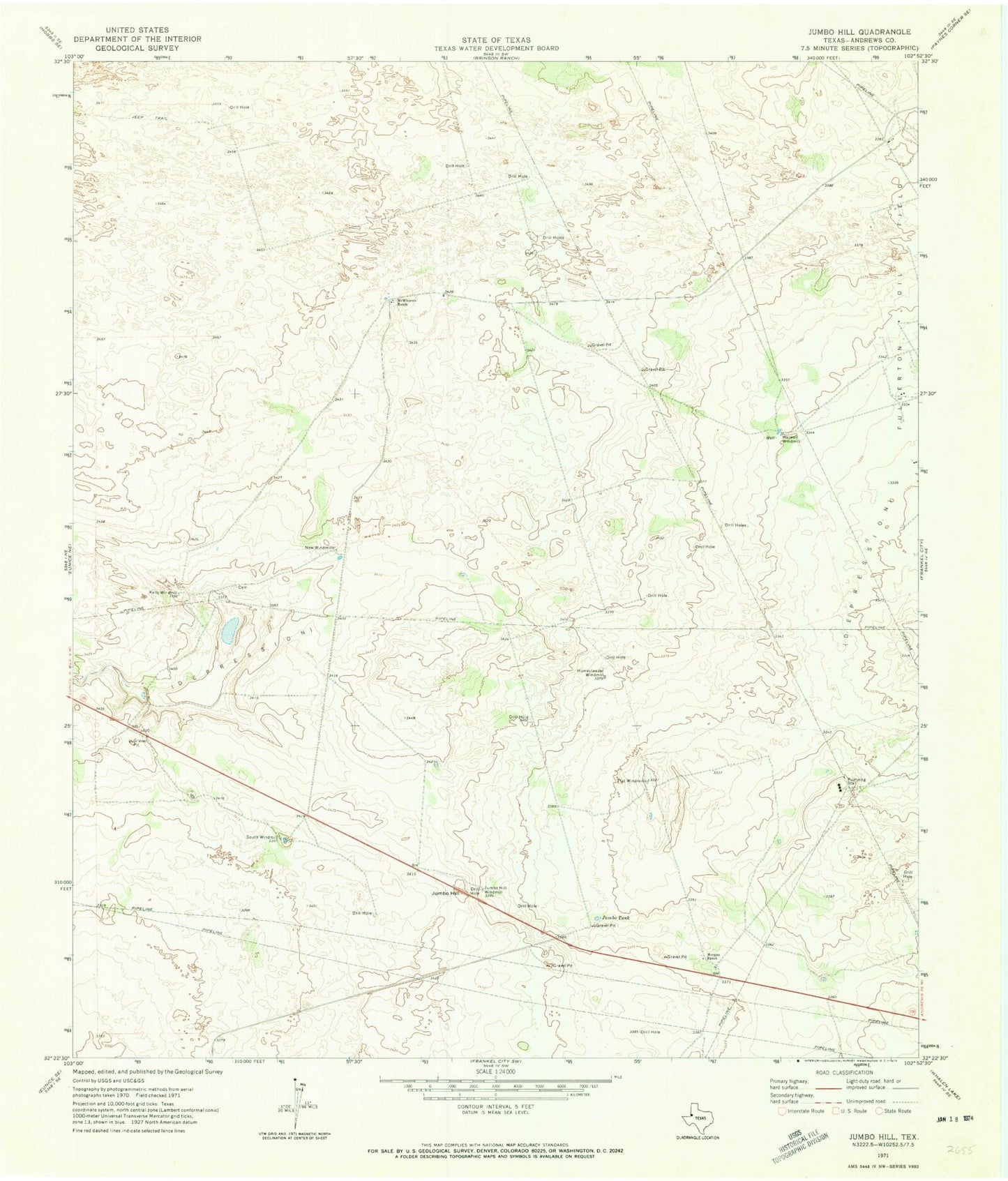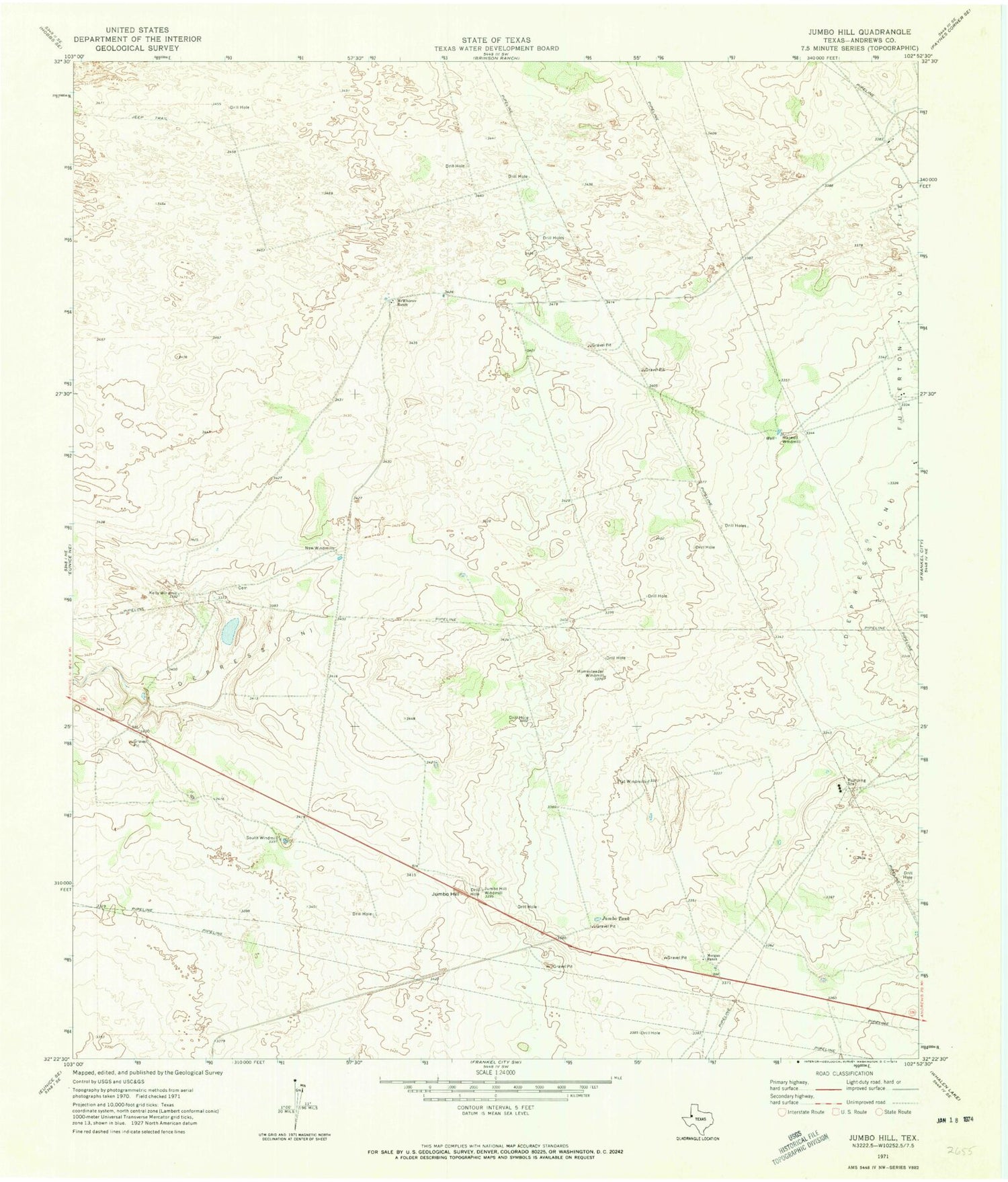
MyTopo
Classic USGS Jumbo Hill Texas 7.5'x7.5' Topo Map
Regular price
$16.95
Regular price
Sale price
$16.95
Unit price
per
Couldn't load pickup availability
Historical USGS topographic quad map of Jumbo Hill in the state of Texas. Map scale may vary for some years, but is generally around 1:24,000. Print size is approximately 24" x 27"
This quadrangle is in the following counties: Andrews.
The map contains contour lines, roads, rivers, towns, and lakes. Printed on high-quality waterproof paper with UV fade-resistant inks, and shipped rolled.
Contains the following named places: Flat Windmills, Harwell Windmill, Homesteader Windmill, Jumbo Hill, Jumbo Hill Windmill, Jumbo Tank, Kelly Windmill, McWhorter Cemetery, McWhorter Ranch, Moore Lake, Morgan Ranch, New Windmills, Scratch Springs, South Windmill