MyTopo
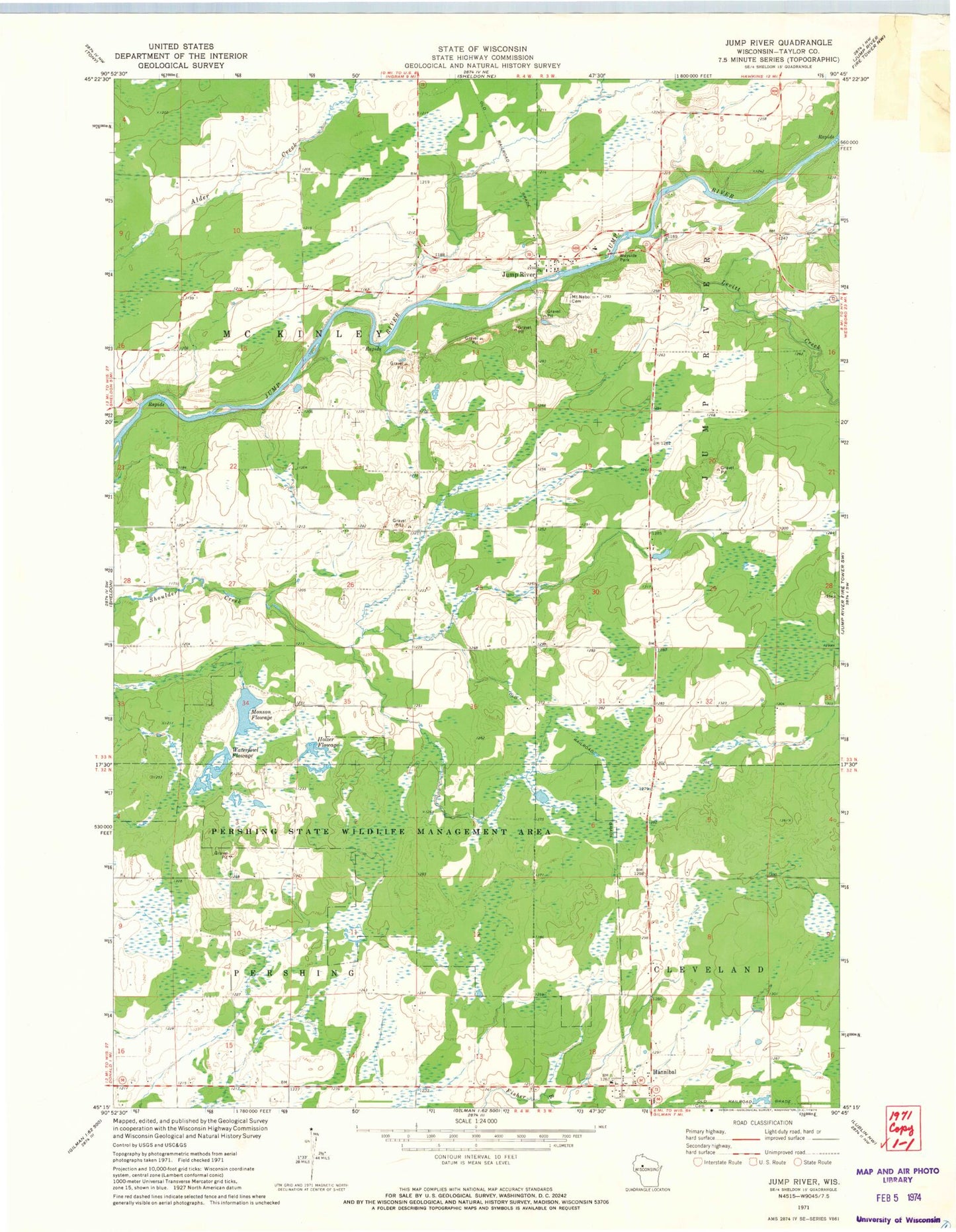
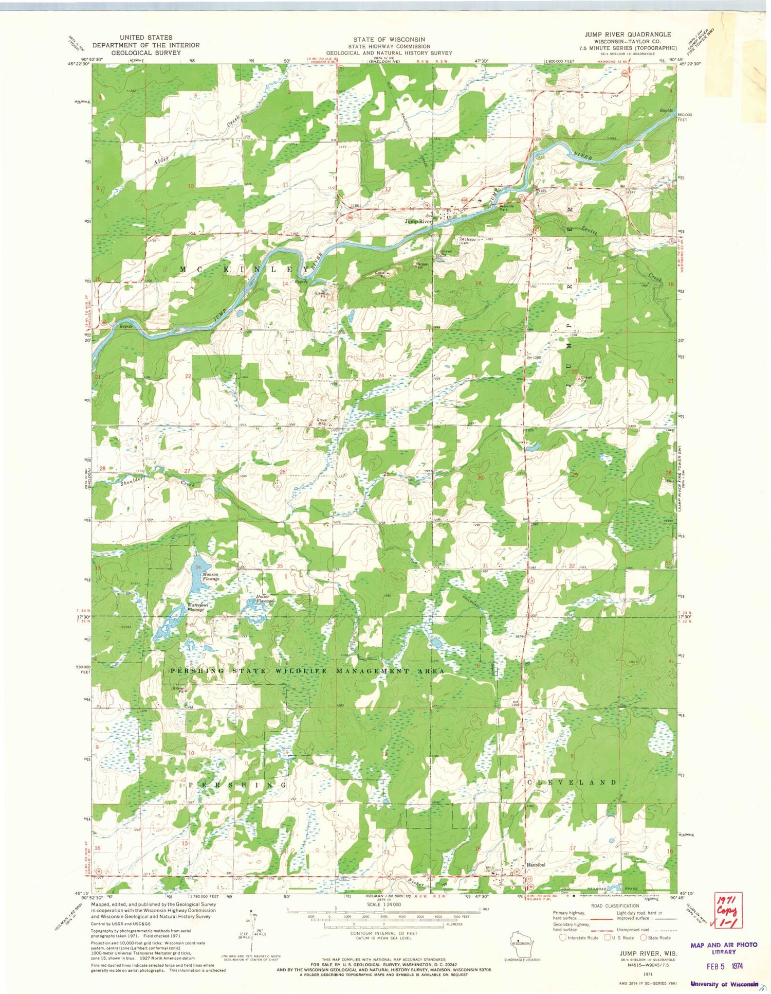
Classic USGS Jump River Wisconsin 7.5'x7.5' Topo Map
Couldn't load pickup availability
Historical USGS topographic quad map of Jump River in the state of Wisconsin. Map scale may vary for some years, but is generally around 1:24,000. Print size is approximately 24" x 27"
This quadrangle is in the following counties: Taylor.
The map contains contour lines, roads, rivers, towns, and lakes. Printed on high-quality waterproof paper with UV fade-resistant inks, and shipped rolled.
Contains the following named places: Dorau Pond, Dorau Pond G12.575 Dam, Ellis Flowage G12.575 Dam, Gebhardt Reservoir Dam, Hannibal, Holzer Flowage, Holzer Flowage G12.575 Dam, Jump River, Jump River Census Designated Place, Jump River Volunteer Fire Department, Lake 31 6 15, Lake Ellis Flowage 3-3-0.3, Levitt Creek, Monson Flowage, Monson Flowage G12.575 Dam, Mount Nebo Cemetery, Pershing Wildlife Area 1 G12.575 Dam, Pioneer School, Quinn Flowage 1, Redman Flowage, Redman Flowage G12.575 Dam, Shoulder Creek Flowage 0.2, Shoulder Creek Flowage G12.575 Dam, Sunnyside School, Town of McKinley, Waterfowl Flowage, Wood Prairie School, ZIP Code: 54766


