MyTopo
Classic USGS Junction City California 7.5'x7.5' Topo Map
Couldn't load pickup availability
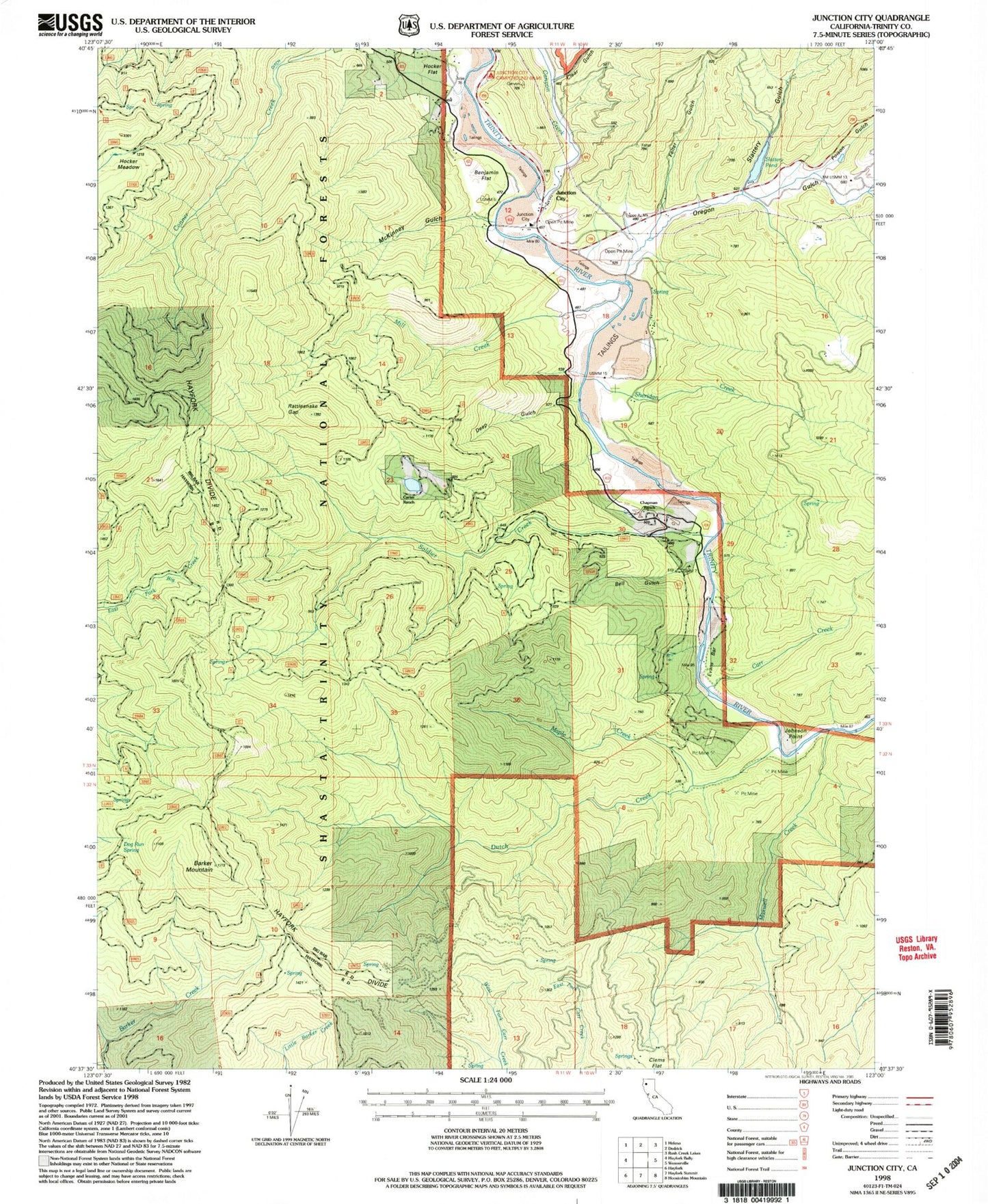
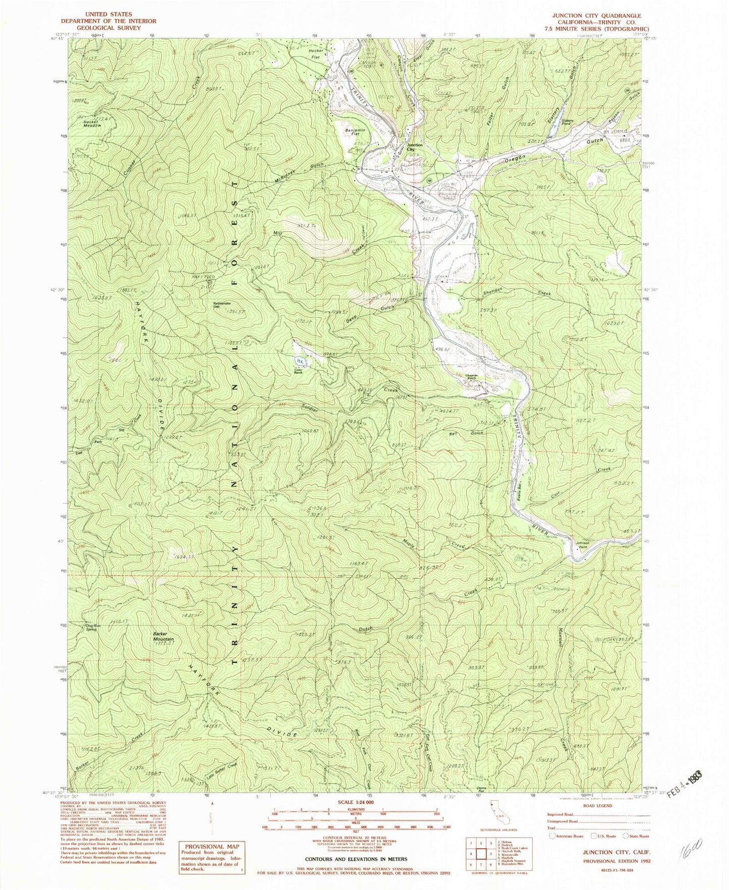
Historical USGS topographic quad map of Junction City in the state of California. Map scale may vary for some years, but is generally around 1:24,000. Print size is approximately 24" x 27"
This quadrangle is in the following counties: Trinity.
The map contains contour lines, roads, rivers, towns, and lakes. Printed on high-quality waterproof paper with UV fade-resistant inks, and shipped rolled.
Contains the following named places: Barker Mountain, Bell Gulch, Benjamin Flat, Canyon Creek, Carr Creek, Carter Ranch, Chapman Ranch, Clear Gulch, Clems Flat, Deep Gulch, Dog Run Spring, Dutch Creek, Evans Bar, Felter Gulch, Hayfork Divide, Hocker Flat, Johnson Point, Junction City, Junction City Campground, Junction City Census Designated Place, Junction City Elementary School, Junction City Fire Protection District Station 1, Junction City Guard Station, Junction City Post Office, La Grange Pit, Maple Creek, Maxwell Creek, McKinney Gulch, Mill Creek, Oregon Gulch, Ox Canyon, Poison Gulch, Rattlesnake Gap, Sheridan Creek, Slattery Gulch, Slattery Pond, Soldier Creek, Trinity County