MyTopo
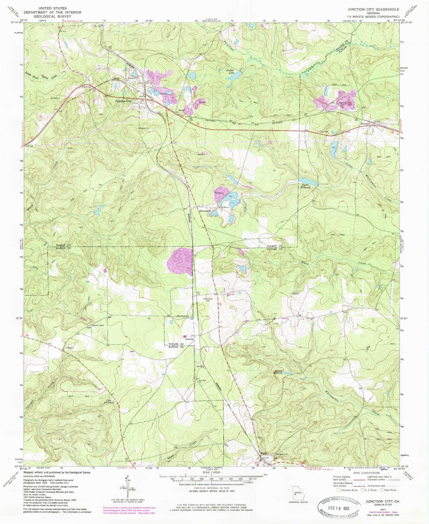
Classic USGS Junction City Georgia 7.5'x7.5' Topo Map
Couldn't load pickup availability
Historical USGS topographic quad map of Junction City in the state of Georgia. Map scale may vary for some years, but is generally around 1:24,000. Print size is approximately 24" x 27"
This quadrangle is in the following counties: Marion, Talbot, Taylor.
The map contains contour lines, roads, rivers, towns, and lakes. Printed on high-quality waterproof paper with UV fade-resistant inks, and shipped rolled.
Contains the following named places: Brownsand, Carl Brown Lake, Carl Brown Lake Dam, Evergreen Church, Faith Church, Fielder Lake, Fielder Lake Dam, Howard, Howard Census Designated Place, Howard Church, Howard Church Cemetery, Howard Post Office, Howard Volunteer Fire Department, Junction City, Junction City Post Office, Mauk, Mauk Cemetery, Mauk Post Office, Moores Chapel, New Life Church, New Zion Church, Norwich, Parks Millpond, Parks Millpond Dam, Paschal, Pine Level Cemetery, Pine Level Church, Saint James Church, Saint James Church Cemetery, Talbot County Fire Department Junction City Station, Taylor County Fire and Rescue Department Mauk Station, Town of Junction City, Watson Lake, Watson Lake Dam, Watson Millpond, ZIP Code: 31039