
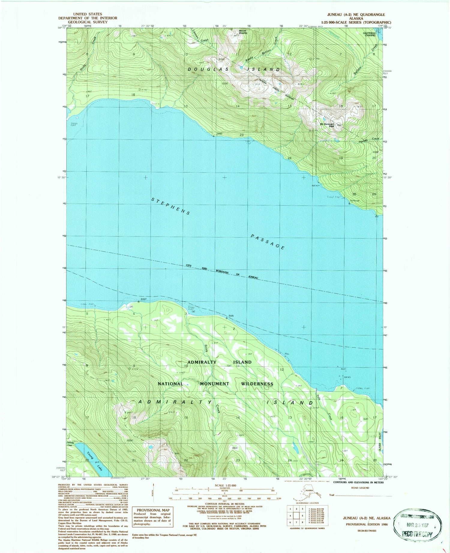
MyTopo
Classic USGS Juneau A-2 NE Alaska 7.5'x7.5' Topo Map
Regular price
$16.95
Regular price
Sale price
$16.95
Unit price
per
Couldn't load pickup availability
Historical USGS topographic quad map of Juneau A-2 NE in the state of Alaska. Map scale may vary for some years, but is generally around 1:24,000. Print size is approximately 24" x 27"
This quadrangle is in the following counties: Hoonah-Angoon (CA), Juneau.
The map contains contour lines, roads, rivers, towns, and lakes. Printed on high-quality waterproof paper with UV fade-resistant inks, and shipped rolled.
Contains the following named places: Bullion Creek, Falls Creek, Hilda Creek, McDonough Peak, Mount Bradley, Ready Bullion Beach, Stink Creek, Treadwell Ditch


