MyTopo
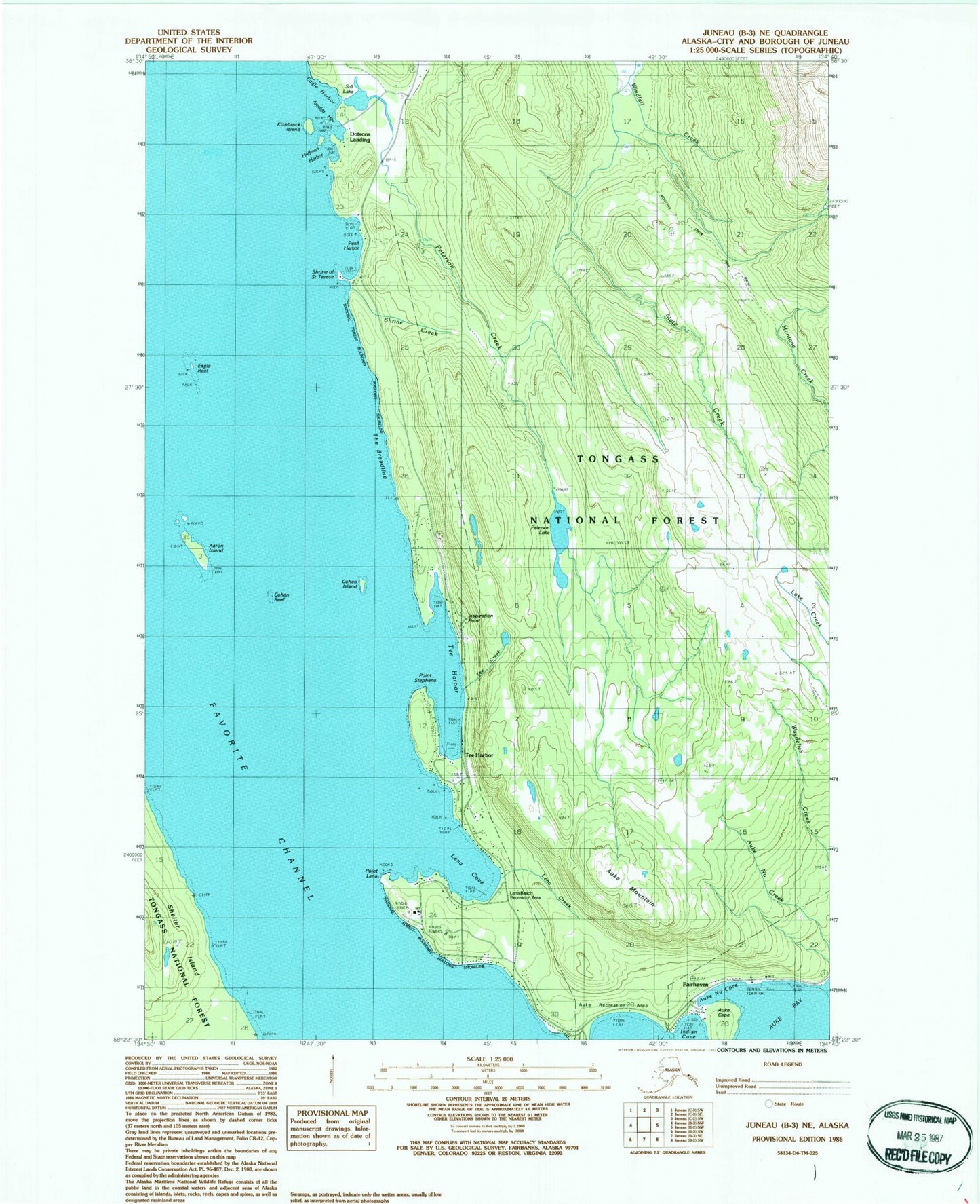
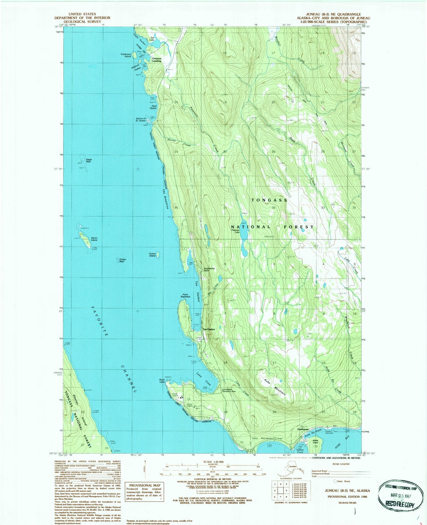
Classic USGS Juneau B-3 NE Alaska 7.5'x7.5' Topo Map
Couldn't load pickup availability
Historical USGS topographic quad map of Juneau B-3 NE in the state of Alaska. Typical map scale is 1:24,000, but may vary for certain years, if available. Print size: 24" x 27"
This quadrangle is in the following counties: Juneau.
The map contains contour lines, roads, rivers, towns, and lakes. Printed on high-quality waterproof paper with UV fade-resistant inks, and shipped rolled.
Contains the following named places: Aaron Island, Amalga Harbor, Auke Cape, Auke Mountain, Auke Nu Cove, Auke Recreation Area, Cohen Island, Cohen Reef, Dobson Landing, Eagle Harbor, Eagle Reef, Fairhaven, Huffman Harbor, Inspiration Point, Kishbrock Island, Lena Beach Recreation Area, Lena Cove, Lena Creek, Montana Creek Trail, Pearl Harbor, Peterson Creek, Peterson Lake, Point Lena, Point Stephens, Saint Terese, Salt Lake, Shrine of Saint Terese, Shrine Creek, Slate Creek, Spaulding Trail, Tee Creek, Tee Harbor, The Breadline, Tee Harbor, Dotsons Landing, Amalga Landing, Goose Creek, Lena Beach, Prairie Basin, Tenk Creek, Treasury Hill, Tusta Creek, Saint Terese Post Office (historical), Alascom/Coastal Lena Point Heliport, Capital City Fire and Rescue Lynn Canal Station, Windfall Creek Mine, Peterson Mine, Greens Creek Emergency Medical Services, Shrine of Saint Therese - Memorial Garden


