
MyTopo
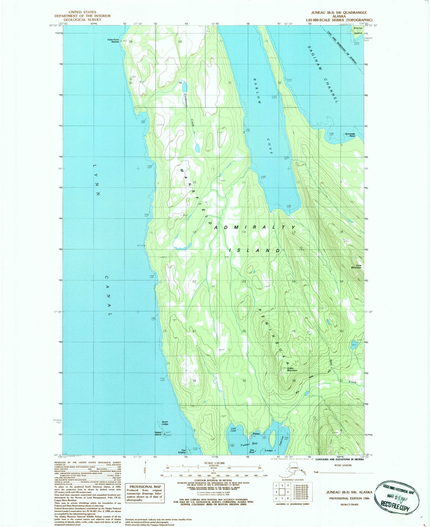
Classic USGS Juneau B-3 SW Alaska 7.5'x7.5' Topo Map
Couldn't load pickup availability
Historical USGS topographic quad map of Juneau B-3 SW in the state of Alaska. Map scale may vary for some years, but is generally around 1:24,000. Print size is approximately 24" x 27"
This quadrangle is in the following counties: Hoonah-Angoon (CA), Juneau.
The map contains contour lines, roads, rivers, towns, and lakes. Printed on high-quality waterproof paper with UV fade-resistant inks, and shipped rolled.
Contains the following named places: Anchor Cove, Barlow Cove, Bear Creek Trail, Coot Cove, Cordwood Creek, Crab Cove, False Point Retreat, Funter, Funter Bay Cemetery, Funter Bay Seaplane Base, Funter Bay State Marine Park, Green Mountain, Ledge Island, Lone Mountain, Naked Island, North Ledge, Star Rock, Symonds Point, The Kittens


