MyTopo
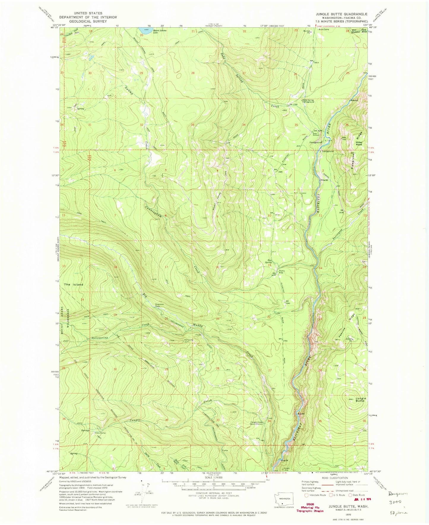
Classic USGS Jungle Butte Washington 7.5'x7.5' Topo Map
Regular price
$16.95
Regular price
Sale price
$16.95
Unit price
per
Couldn't load pickup availability
Historical USGS topographic quad map of Jungle Butte in the state of Washington. Map scale may vary for some years, but is generally around 1:24,000. Print size is approximately 24" x 27"
This quadrangle is in the following counties: Yakima.
The map contains contour lines, roads, rivers, towns, and lakes. Printed on high-quality waterproof paper with UV fade-resistant inks, and shipped rolled.
Contains the following named places: Buck Camp, Bup Spring, Cougar Creek, Cougar Creek Guard Station, Cress Camp, Cunningham Creek, Hellroaring Creek, Hellroaring Ditch, Jungle Butte, Miller Point, Soda Spring Campground, Soda Spring Creek, Surveyors Creek, Swamp Creek