MyTopo
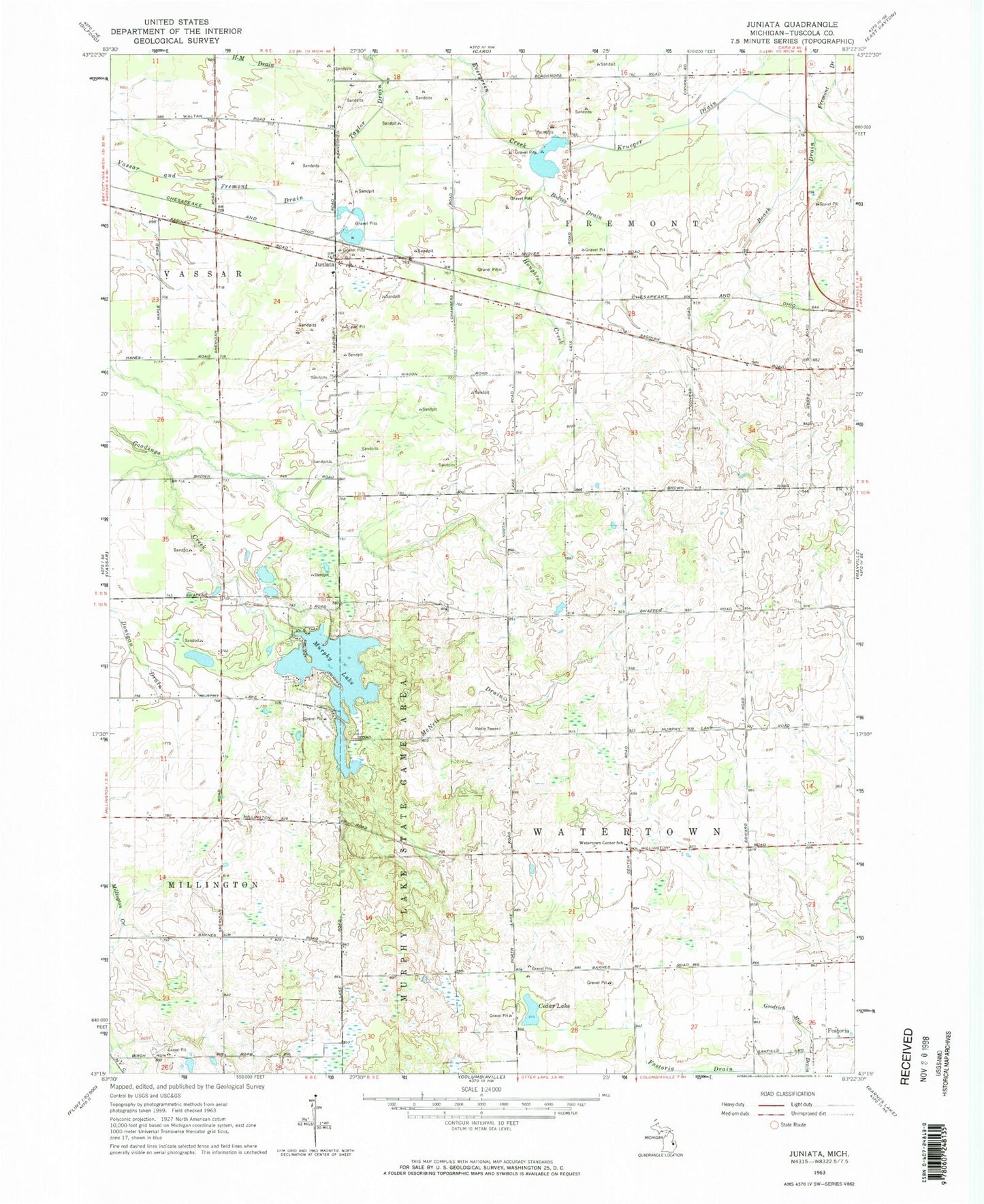
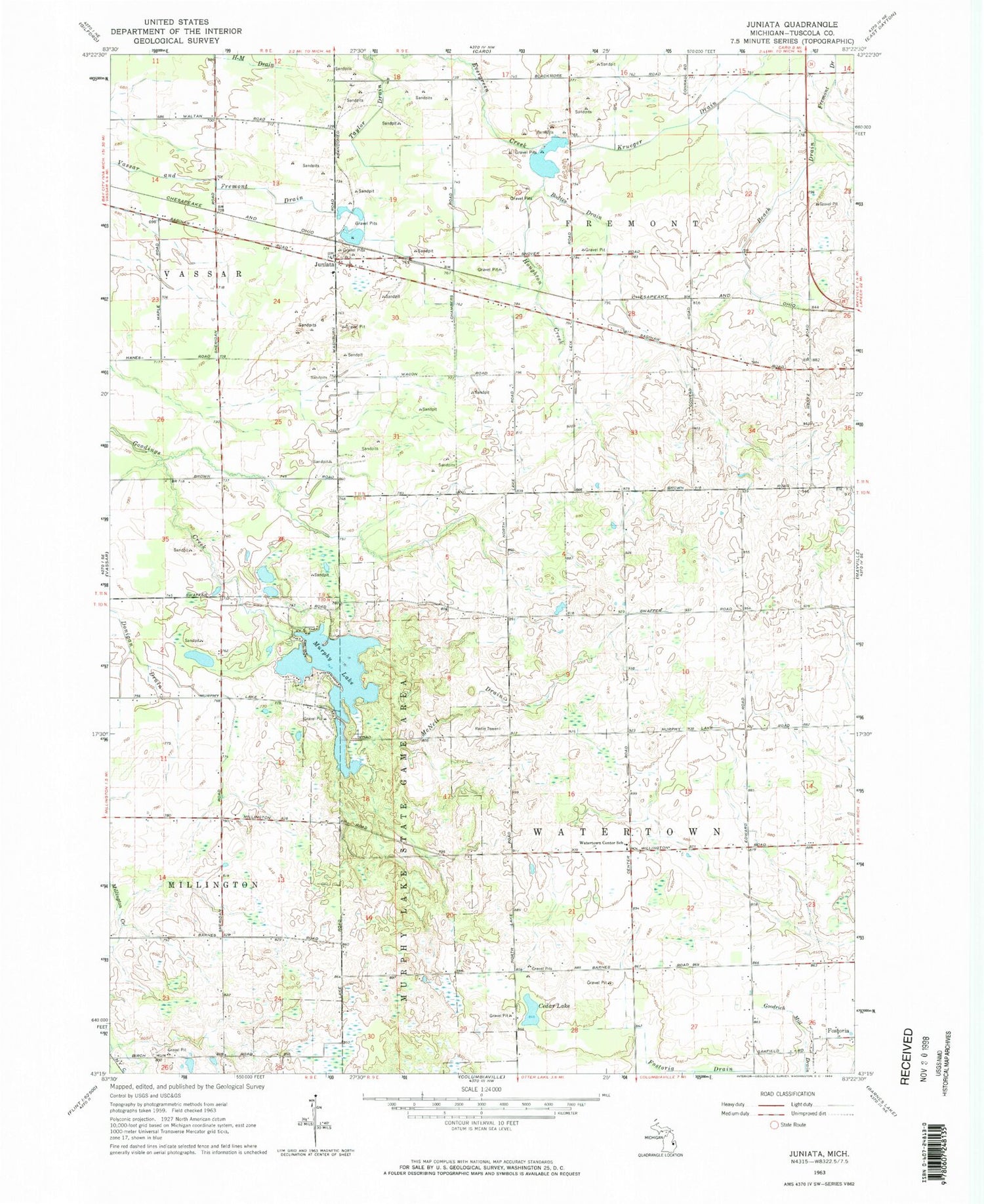
Classic USGS Juniata Michigan 7.5'x7.5' Topo Map
Couldn't load pickup availability
Historical USGS topographic quad map of Juniata in the state of Michigan. Typical map scale is 1:24,000, but may vary for certain years, if available. Print size: 24" x 27"
This quadrangle is in the following counties: Tuscola.
The map contains contour lines, roads, rivers, towns, and lakes. Printed on high-quality waterproof paper with UV fade-resistant inks, and shipped rolled.
Contains the following named places: Beach Drain, Bodies Drain, Cedar Lake, Goodrich Mill Drain, Houghton Creek, Juniata, Krueger Drain, McNeil Drain, Murphy Lake, Murphy Lake State Game Area, Taylor Drain, Vassar and Fremont Drain, Watertown Center School, Miller Field, Township of Fremont, Township of Watertown, Juniata Baptist Church, Juniata Christian School, Juniata Station, Markell Post Office (historical), Juniata Post Office (historical), Willow Springs Golf and Country Club, Watertown Center Bible Church, Cass River Bible Church, Millet Learning Center, Letts Field Airport