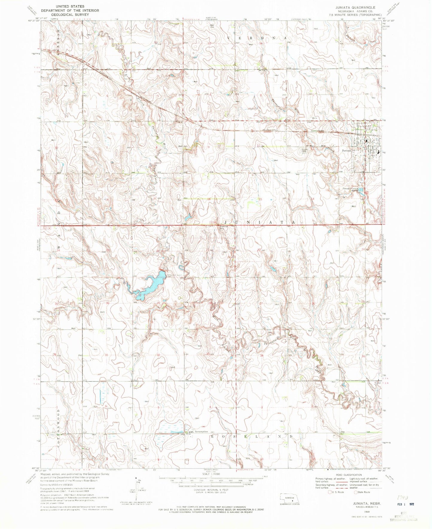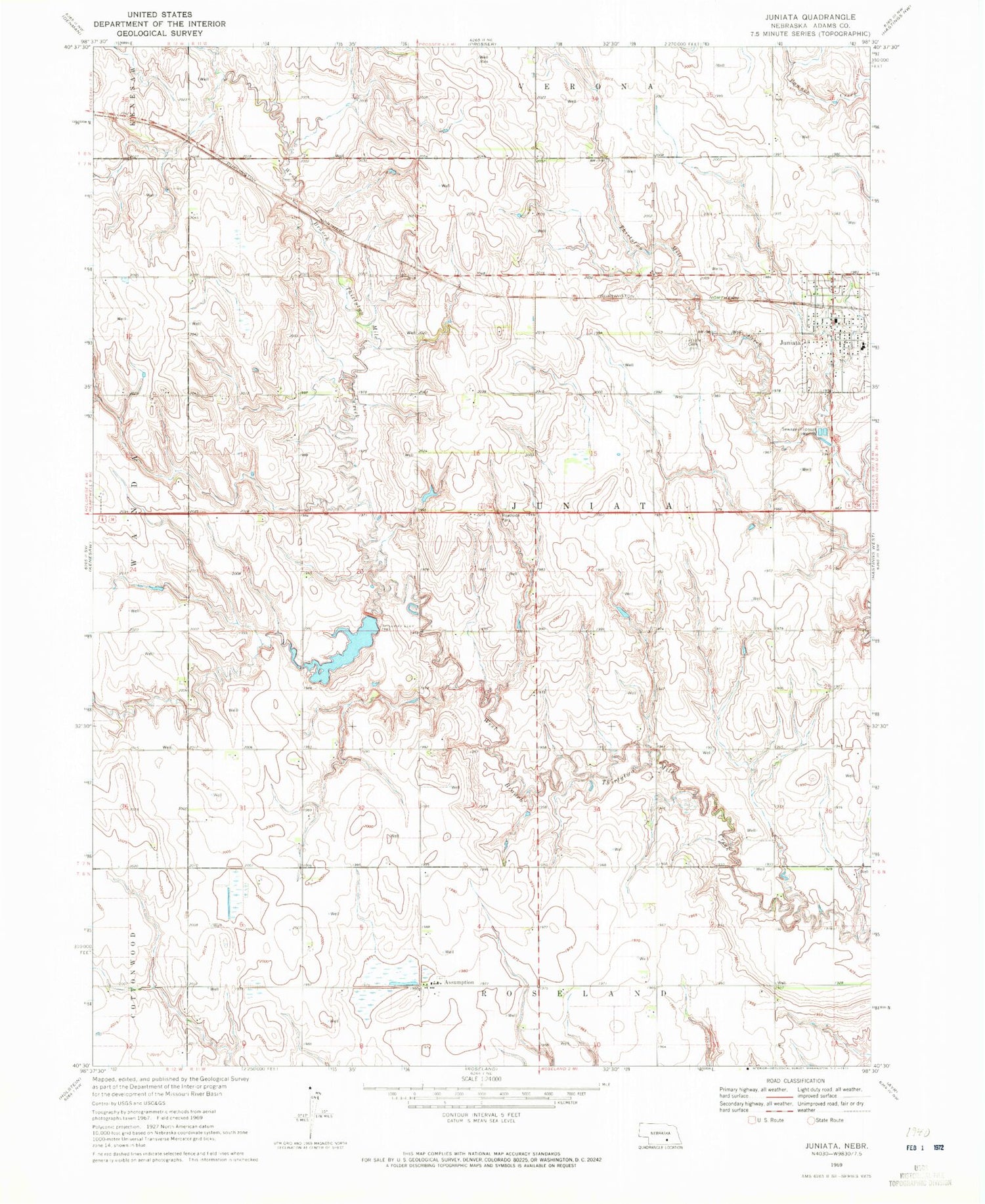
MyTopo
Classic USGS Juniata Nebraska 7.5'x7.5' Topo Map
Couldn't load pickup availability
Historical USGS topographic quad map of Juniata in the state of Nebraska. Map scale may vary for some years, but is generally around 1:24,000. Print size is approximately 24" x 27"
This quadrangle is in the following counties: Adams.
The map contains contour lines, roads, rivers, towns, and lakes. Printed on high-quality waterproof paper with UV fade-resistant inks, and shipped rolled.
Contains the following named places: Adams County, Assumption, Assumption Catholic Church, Christ Lutheran Church, Christ Lutheran School, Detention Dam C, Detention Dam D, Detention Dam E, Flood Retarding Dam K, Heartland Co-op Elevator, Juniata, Juniata Cemetery, Juniata Elementary School, Juniata Post Office, Juniata Rural Fire District, Oregon Trail Historical Marker, Roseland Assumption School, Roseland Lake, Roseland Lake Campground, Thirty-Two Mile Creek Reservoir, Thirty-Two Mile Reservoir D, Township of Juniata, United Methodist Church, Vieselmeyer Dam, Vieselmeyer Reservoir, Village of Juniata, ZIP Code: 68955