
MyTopo
Classic USGS Juniper Creek Florida 7.5'x7.5' Topo Map
Couldn't load pickup availability
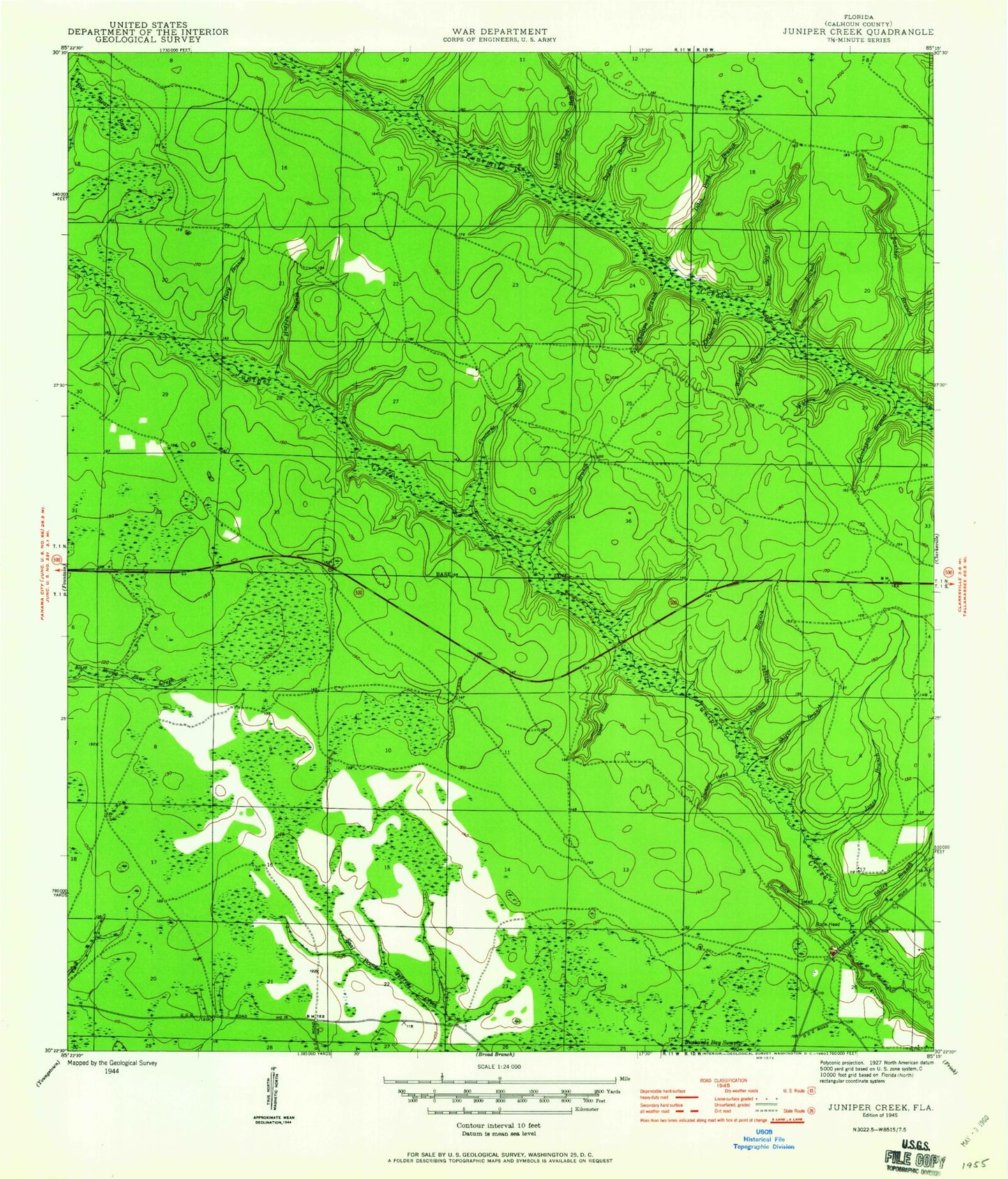
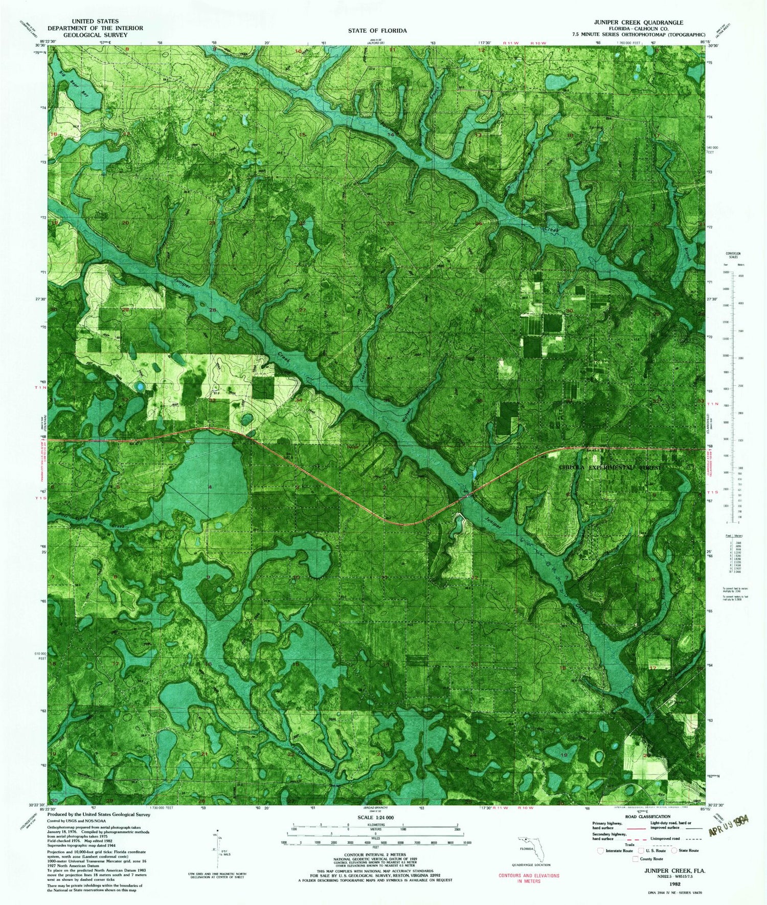
Historical USGS topographic quad map of Juniper Creek in the state of Florida. Map scale may vary for some years, but is generally around 1:24,000. Print size is approximately 24" x 27"
This quadrangle is in the following counties: Calhoun.
The map contains contour lines, roads, rivers, towns, and lakes. Printed on high-quality waterproof paper with UV fade-resistant inks, and shipped rolled.
Contains the following named places: Bailey Branch, Big Bear Bay, Buck Head, Calder Head, Centerfit Branch, Chinkapin Branch, Ditch Pond Branch, Hickory Head, Hogpen Branch, Huey Branch, Jones Branch, Josey Branch, Max Spring Branch, Mossy Pond Branch, Panther Branch, Parham Branch, Parson Wright Branch, Phillips Branch, Rock Head, Ron Wood Airport, Shirer Branch, Steep Head, Steep Head Farm Airport, Taylor Branch, Watson Branch, West Calhoun Division, Woodell Branch