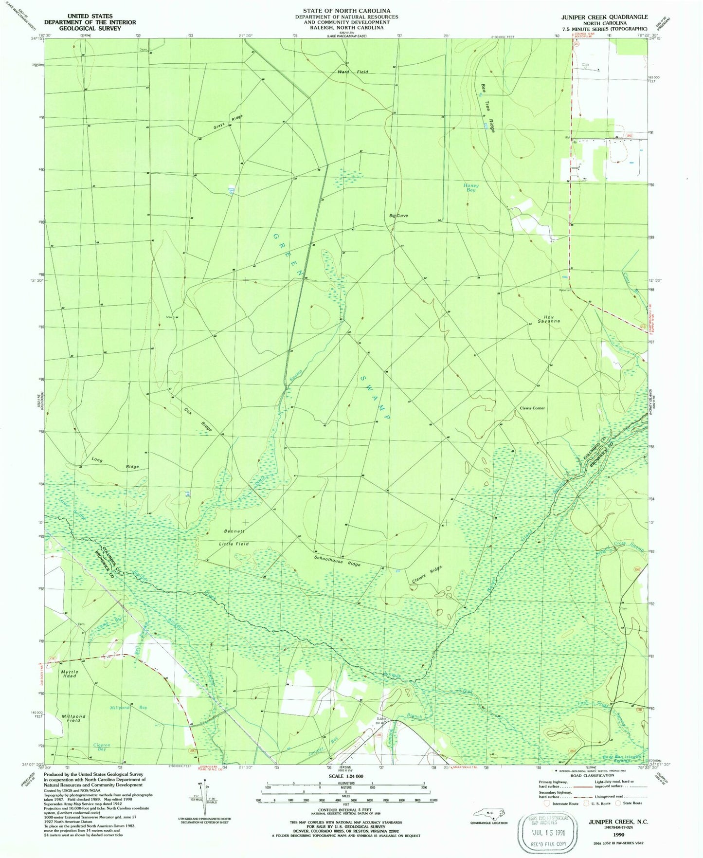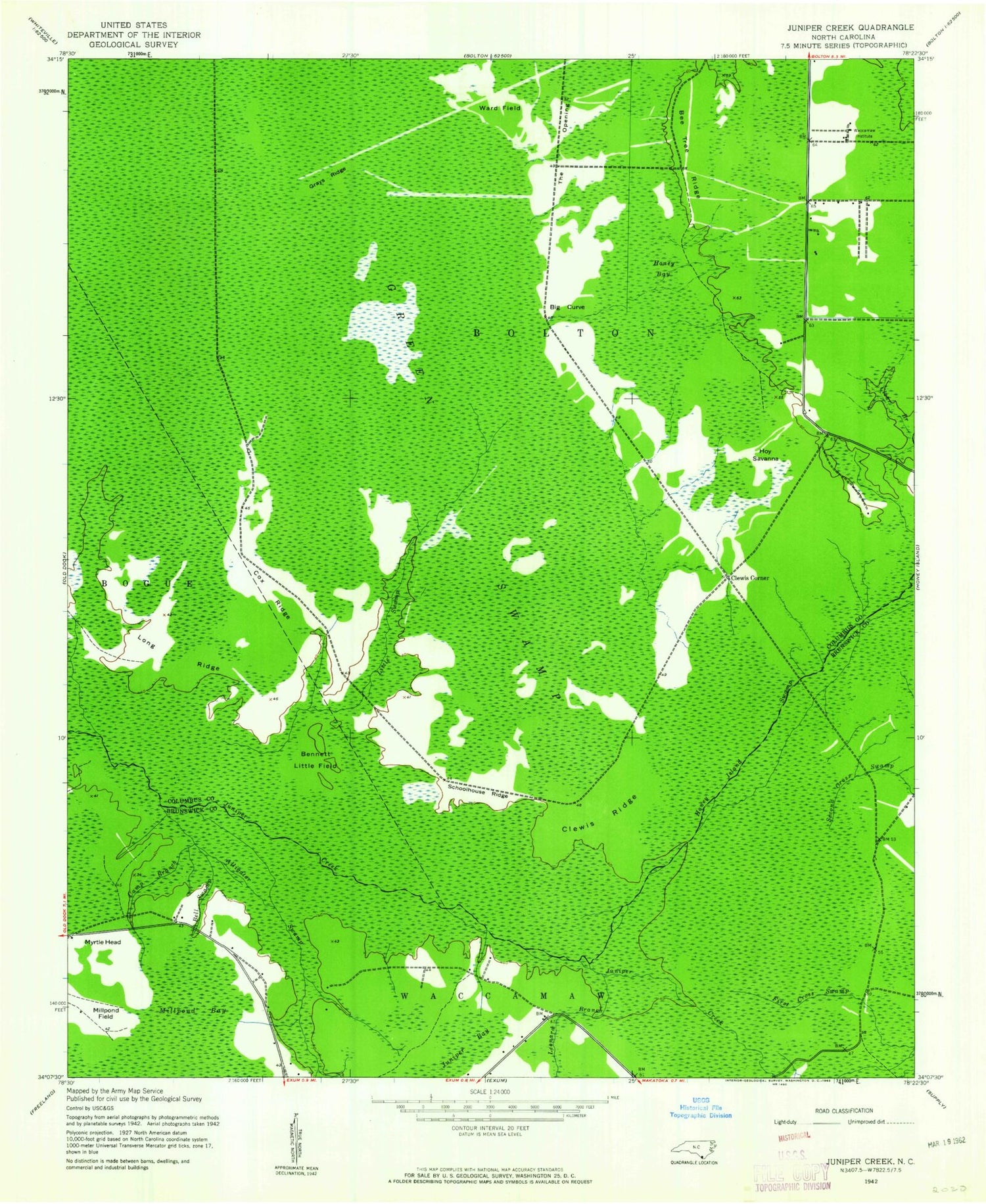
MyTopo
Classic USGS Juniper Creek North Carolina 7.5'x7.5' Topo Map
Couldn't load pickup availability
Historical USGS topographic quad map of Juniper Creek in the state of North Carolina. Map scale may vary for some years, but is generally around 1:24,000. Print size is approximately 24" x 27"
This quadrangle is in the following counties: Brunswick, Columbus.
The map contains contour lines, roads, rivers, towns, and lakes. Printed on high-quality waterproof paper with UV fade-resistant inks, and shipped rolled.
Contains the following named places: Alligator Swamp, Bee Tree Ridge, Bell Swamp, Bennett Little Field, Big Curve, Camp Branch, Clewis Corner, Clewis Ridge, Cox Ridge, First Cross Swamp, Grays Ridge, Green Swamp, Honey Bay, Honey Island Swamp, Hoy Savanna, Juniper Bay, Leonard Branch, Little Swamp, Long Ridge, Millpond Bay, Millpond Field, Myrtle Head, Schoolhouse Ridge, Second Cross Swamp, The Opening, Waccamaw Institute, Ward Field