MyTopo
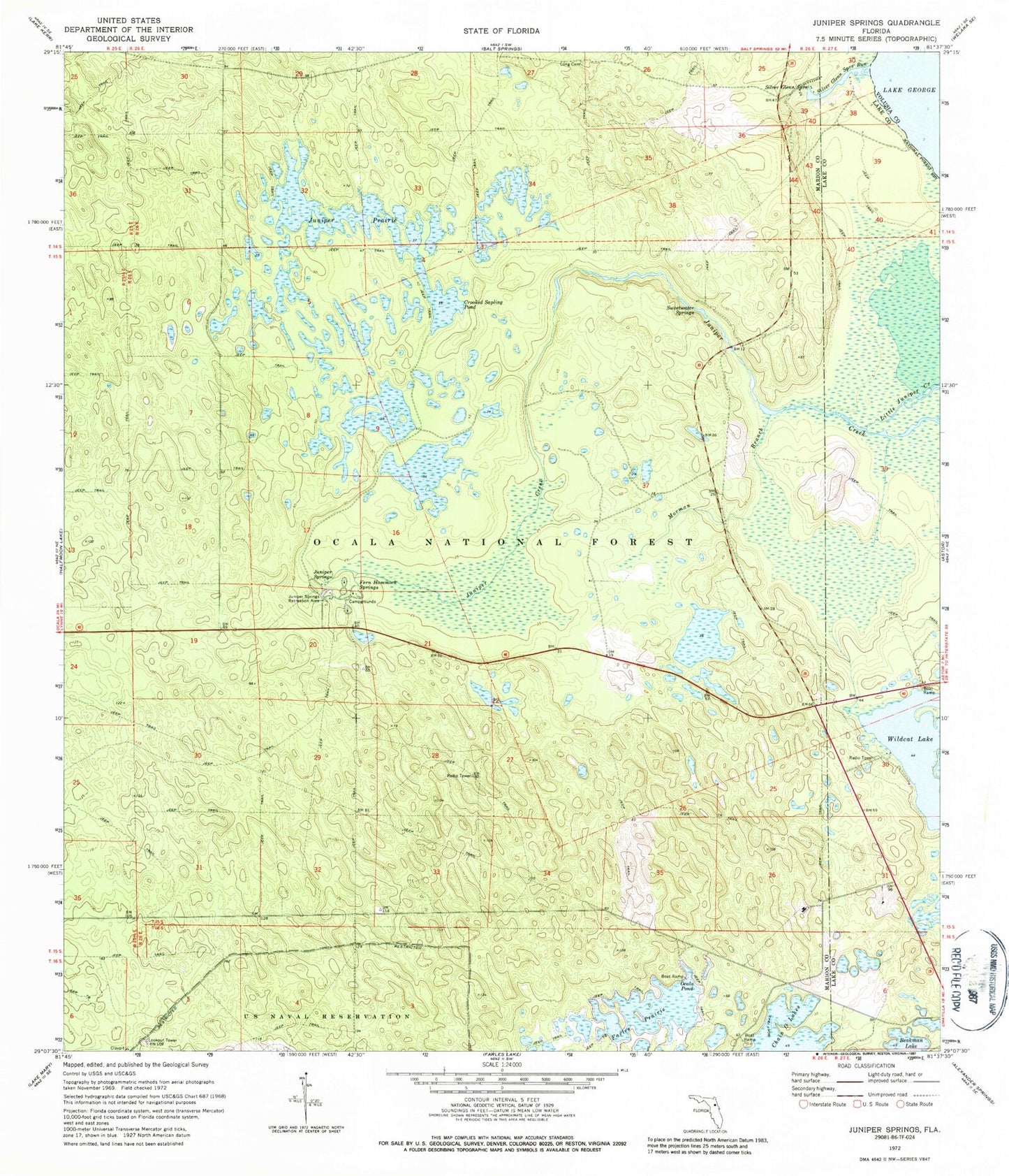
Classic USGS Juniper Springs Florida 7.5'x7.5' Topo Map
Couldn't load pickup availability
Historical USGS topographic quad map of Juniper Springs in the state of Florida. Typical map scale is 1:24,000, but may vary for certain years, if available. Print size: 24" x 27"
This quadrangle is in the following counties: Lake, Marion, Volusia.
The map contains contour lines, roads, rivers, towns, and lakes. Printed on high-quality waterproof paper with UV fade-resistant inks, and shipped rolled.
Contains the following named places: Crooked Sapling Pond, Fern Hammock Springs, Juniper Prairie, Juniper Springs, Juniper Springs Recreation Area, Long Cemetery, Morman Branch, Ocala Pond, Silver Glen Springs, Silver Glen Springs Run, Sweetwater Springs, Wildcat Lake, Thomas Forbes Grant, George I F Clarke Grant, F M Arredondo Grant, Ocala National Forest, Wildcat Lake Boat Ramp, Juniper Creek Boating Site, Juniper Prairie Wilderness, Juniper Springs Campground, Ocala National Recreation Trail, Pats Island, Silver Glen Springs Recreation Area


