
MyTopo
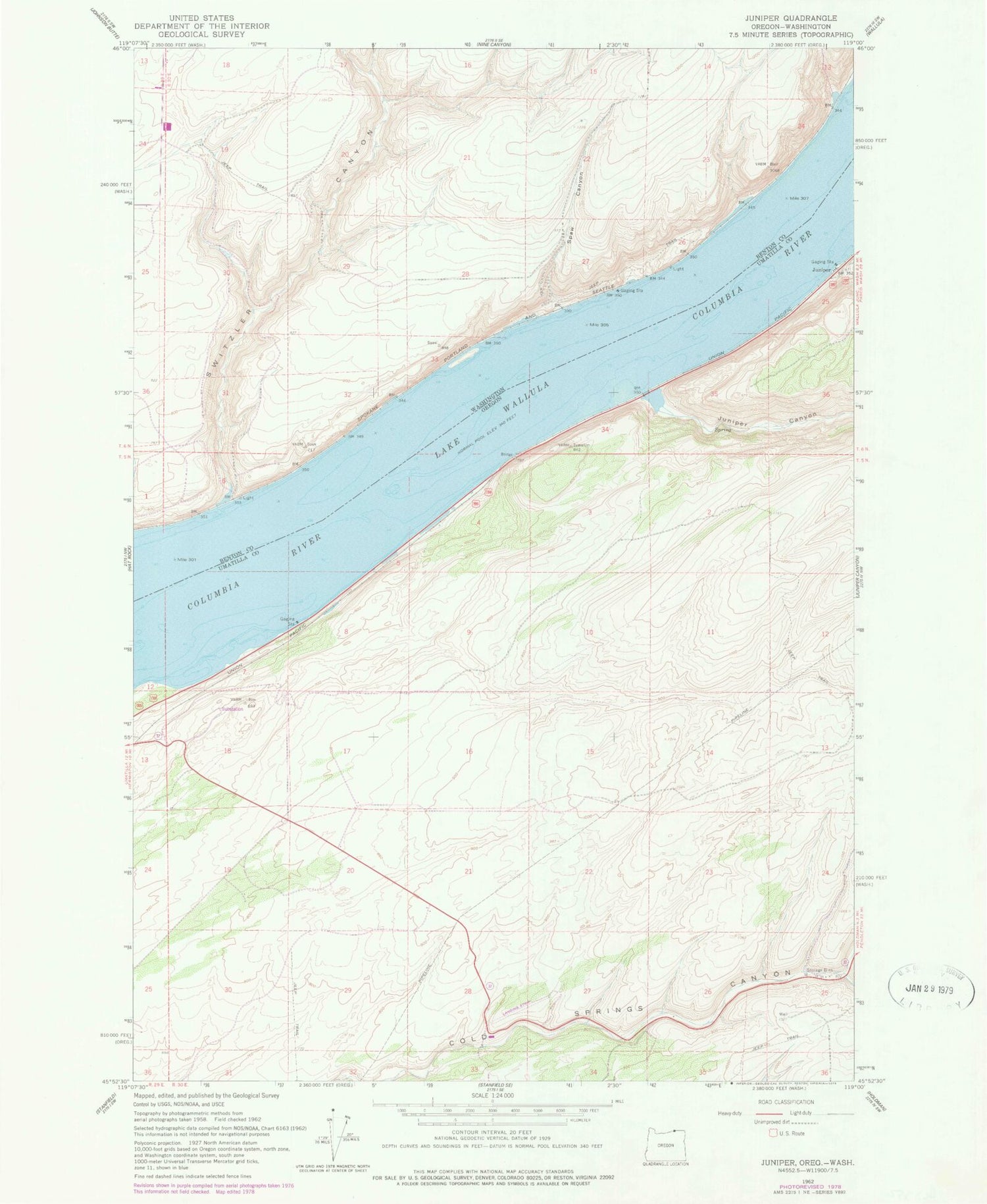
Classic USGS Juniper Oregon 7.5'x7.5' Topo Map
Regular price
$16.95
Regular price
Sale price
$16.95
Unit price
per
Couldn't load pickup availability
Historical USGS topographic quad map of Juniper in the states of Oregon, Washington. Map scale may vary for some years, but is generally around 1:24,000. Print size is approximately 24" x 27"
This quadrangle is in the following counties: Benton, Umatilla.
The map contains contour lines, roads, rivers, towns, and lakes. Printed on high-quality waterproof paper with UV fade-resistant inks, and shipped rolled.
Contains the following named places: Columbia Plateau, Hawthorne Post Office, Juniper, Juniper Canyon, Juniper Post Office, Sand, Sand Station Recreation Area, South Fork Cold Springs Canyon, Spaw Canyon, Switzler Canyon, Switzler Island, Tomar, Van Skinner Island


