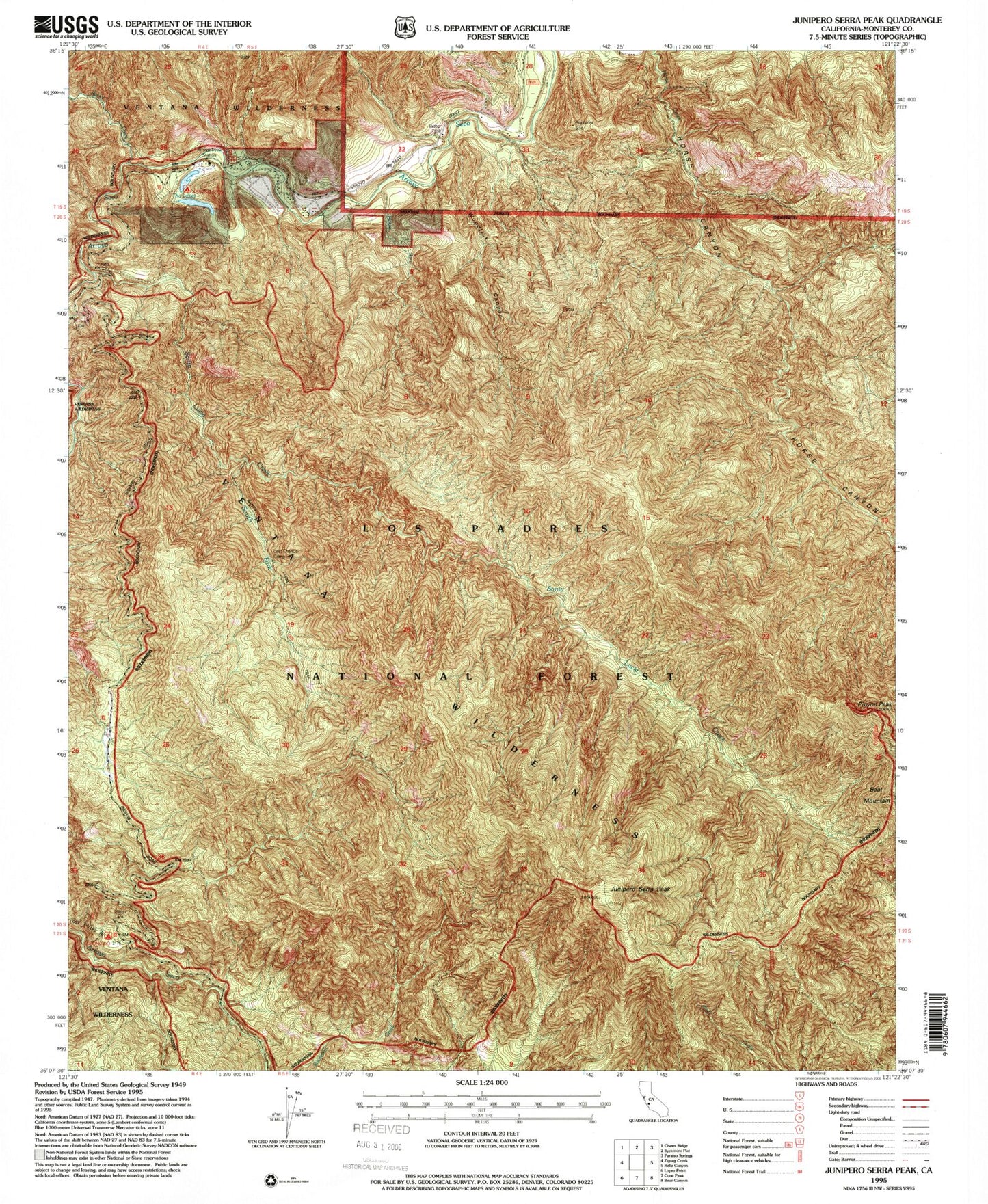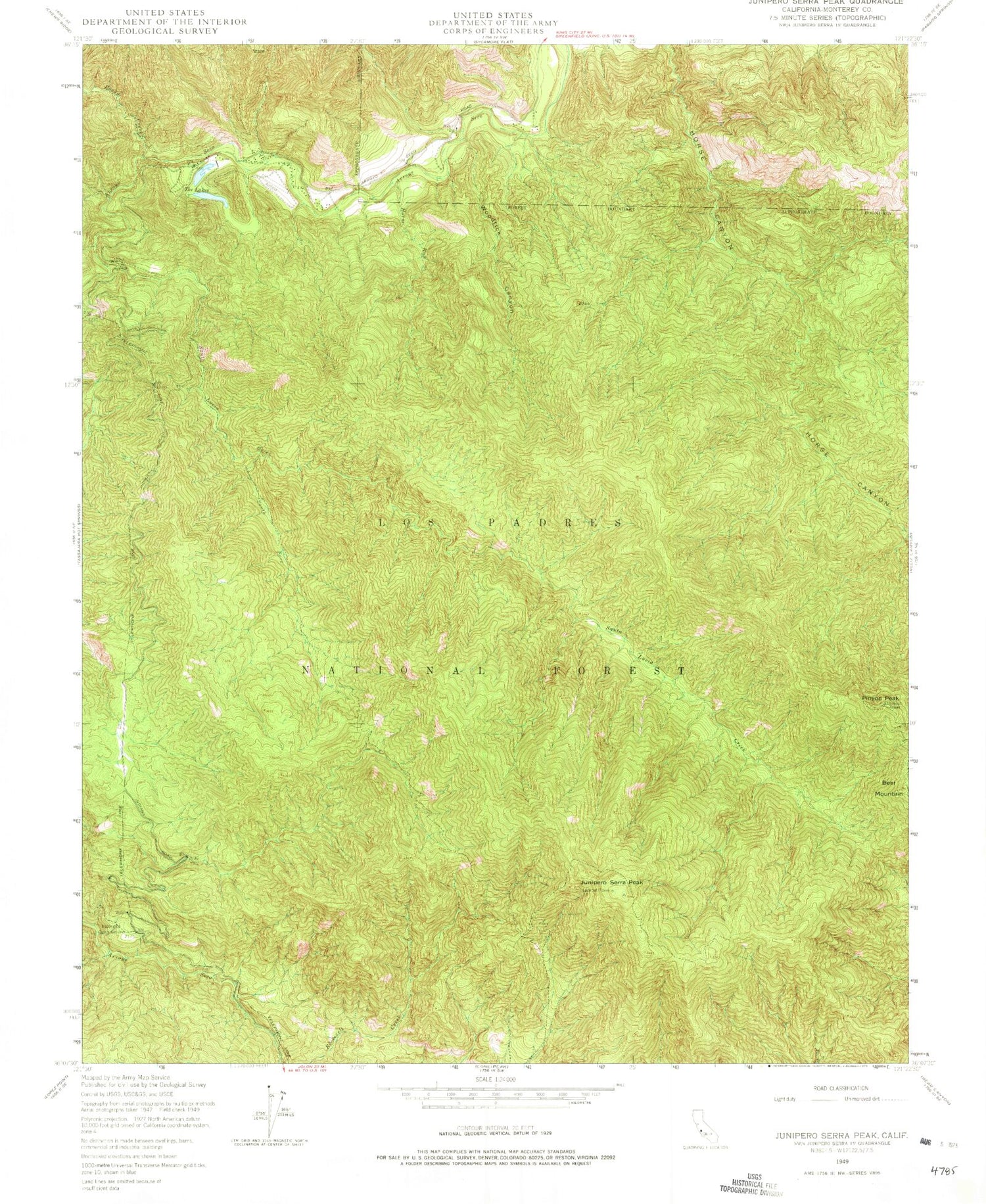
MyTopo
Classic USGS Junipero Serra Peak California 7.5'x7.5' Topo Map
Couldn't load pickup availability
Historical USGS topographic quad map of Junipero Serra Peak in the state of California. Map scale may vary for some years, but is generally around 1:24,000. Print size is approximately 24" x 27"
This quadrangle is in the following counties: Monterey.
The map contains contour lines, roads, rivers, towns, and lakes. Printed on high-quality waterproof paper with UV fade-resistant inks, and shipped rolled.
Contains the following named places: Abbott Lakes, Abbott Ranch, Arroyo Center, Arroyo Seco Recreation Site, Bear Mountain, Escondido Camp Ground, Girl Scout Camp, Hanging Valley Campground, Horse Run, Junipero Serra Peak, Last Chance Rustic Campsite, Pinyon Peak, Rancho Escondido, Rocky Creek, Santa Lucia Creek, South Fork Santa Lucia Creek, South Monterey County Fire Protection District Arroyo Seco Fire Station, Woodtick Canyon, ZIP Code: 93927