
MyTopo
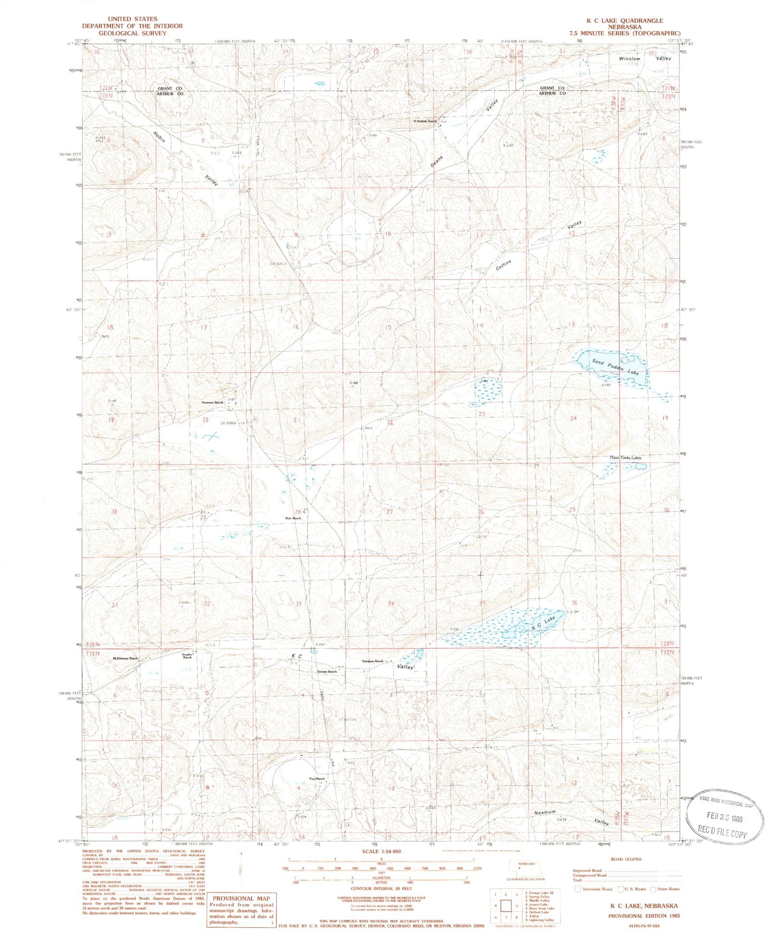
Classic USGS K C Lake Nebraska 7.5'x7.5' Topo Map
Couldn't load pickup availability
Historical USGS topographic quad map of K C Lake in the state of Nebraska. Map scale may vary for some years, but is generally around 1:24,000. Print size is approximately 24" x 27"
This quadrangle is in the following counties: Arthur, Grant.
The map contains contour lines, roads, rivers, towns, and lakes. Printed on high-quality waterproof paper with UV fade-resistant inks, and shipped rolled.
Contains the following named places: Collins Valley, Dancer Ranch, Deans Valley, Frye Ranch, Hartman Ranch, Hobin Valley, J Walz Ranch, K C Lake, K C Valley, McElhinney Ranch, Meadow View School, N Kramer Ranch, Neilson Lake, Nostrum Valley, Sand Puddin Lake, Staples Ranch, Swanson Ranch, Three Tanks Lakes, Trenary Ranch


