MyTopo
Classic USGS K P Lake Michigan 7.5'x7.5' Topo Map
Regular price
$16.95
Regular price
Sale price
$16.95
Unit price
per
Couldn't load pickup availability
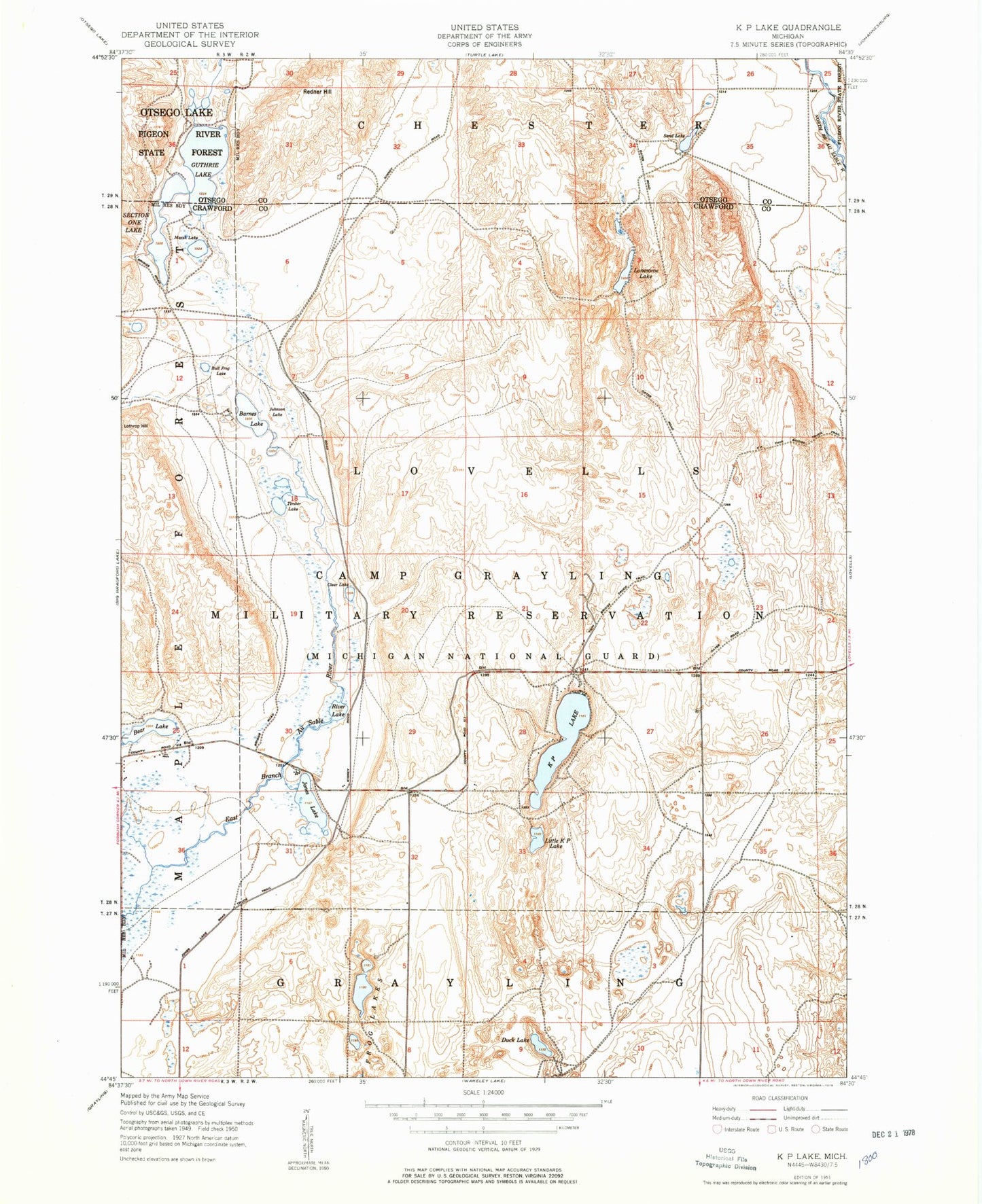
Historical USGS topographic quad map of K P Lake in the state of Michigan. Typical map scale is 1:24,000, but may vary for certain years, if available. Print size: 24" x 27"
This quadrangle is in the following counties: Crawford, Otsego.
The map contains contour lines, roads, rivers, towns, and lakes. Printed on high-quality waterproof paper with UV fade-resistant inks, and shipped rolled.
Contains the following named places: Barnes Lake, Bear Lake, Bull Frog Lake, Clear Lake, Duck Lake, Guthrie Lake, Johnson Lake, Jones Lake, KP Lake, Little K P Lake, Lonesome Lake, Marsh Lake, Redner Hill, River Lake, Sand Lake, Section One Lake, Timber Lake, Frog Lakes, Jones Lake State Forest Campground