MyTopo
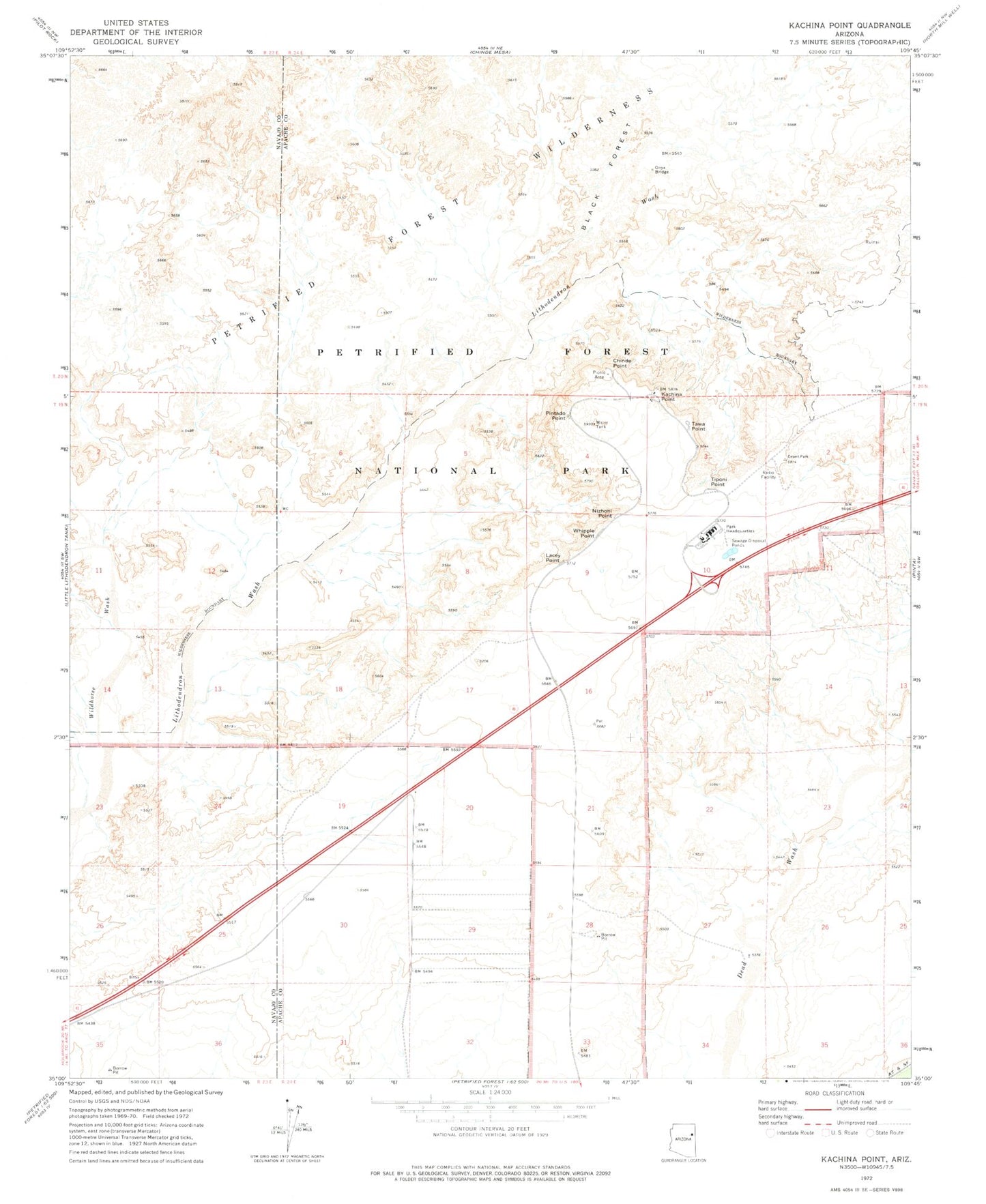
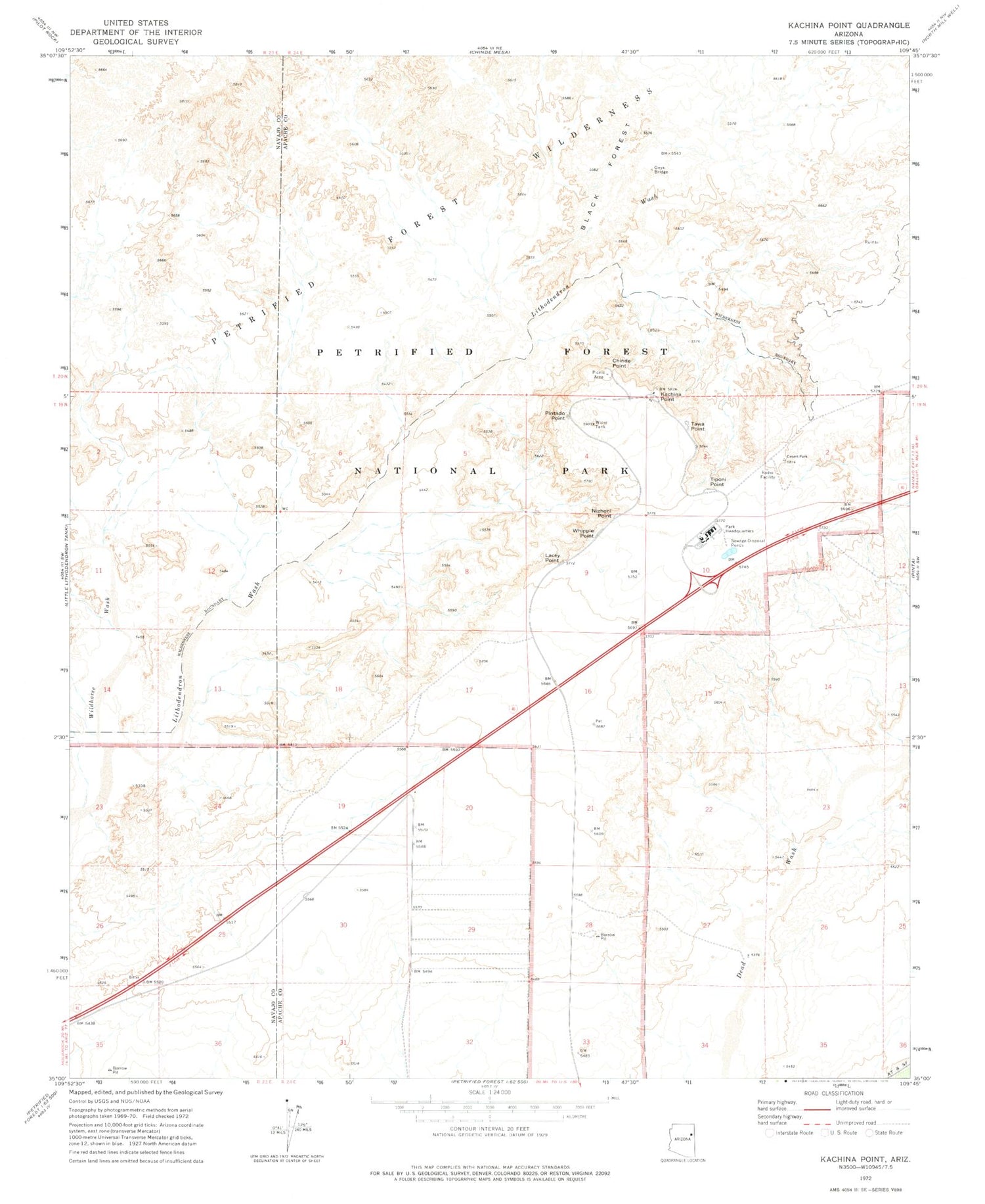
Classic USGS Kachina Point Arizona 7.5'x7.5' Topo Map
Couldn't load pickup availability
Historical USGS topographic quad map of Kachina Point in the state of Arizona. Typical map scale is 1:24,000, but may vary for certain years, if available. Print size: 24" x 27"
This quadrangle is in the following counties: Apache, Navajo.
The map contains contour lines, roads, rivers, towns, and lakes. Printed on high-quality waterproof paper with UV fade-resistant inks, and shipped rolled.
Contains the following named places: Black Forest, Chinde Point, Kachina Point, Lacey Point, Nizhoni Point, Onyx Bridge, Pintado Point, Tawa Point, Tiponi Point, Whipple Point, Wildhorse Wash, Petrified Forest Overpass, Painted Desert Visitor Center, Painted Desert Inn, Petrified Forest National Wilderness Area, Petrified Forest National Park Fire Department


