
MyTopo
Classic USGS Kackley Kansas 7.5'x7.5' Topo Map
Couldn't load pickup availability
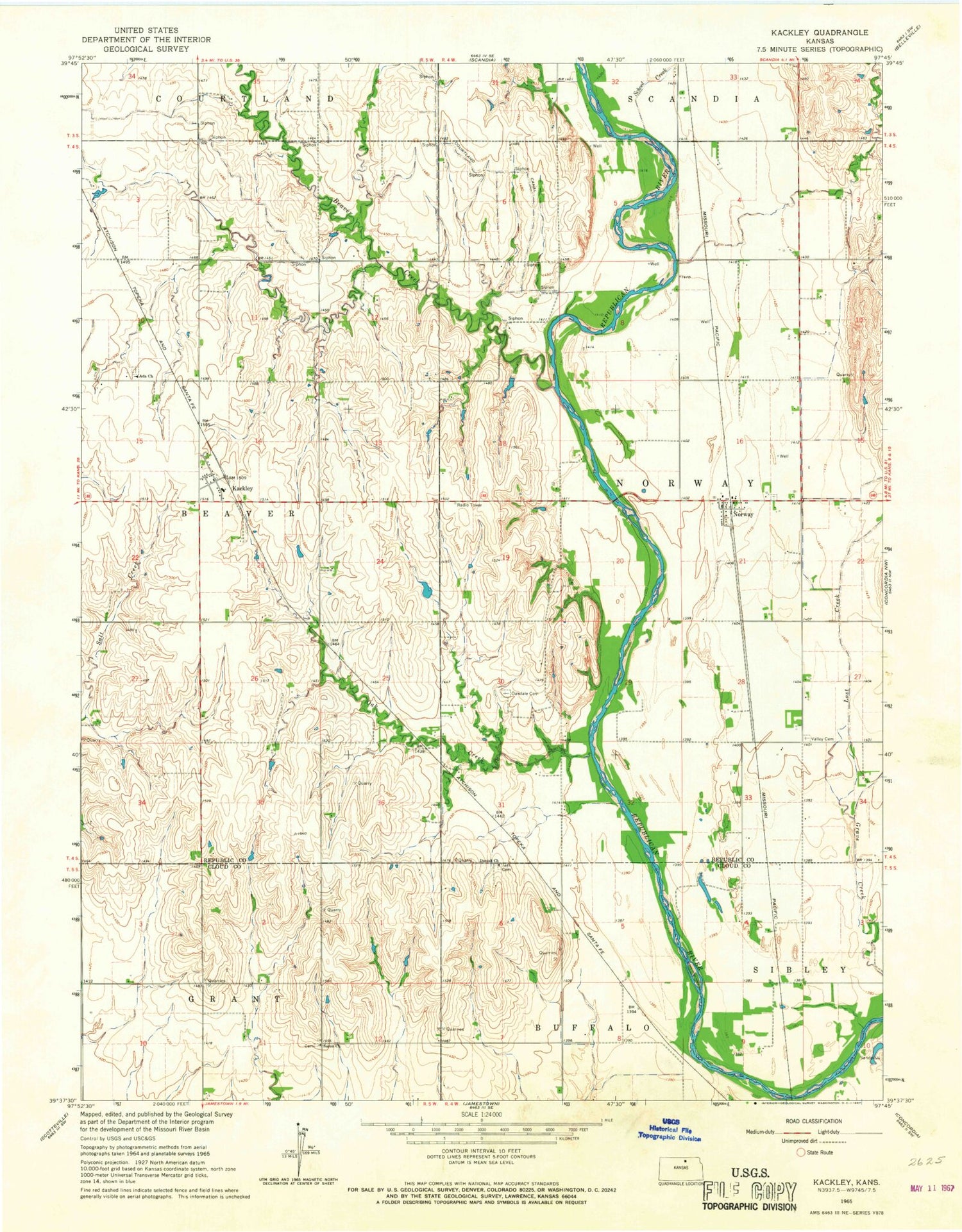
Historical USGS topographic quad map of Kackley in the state of Kansas. Map scale may vary for some years, but is generally around 1:24,000. Print size is approximately 24" x 27"
This quadrangle is in the following counties: Cloud, Republic.
The map contains contour lines, roads, rivers, towns, and lakes. Printed on high-quality waterproof paper with UV fade-resistant inks, and shipped rolled.
Contains the following named places: Ada Lutheran Cemetery, Ada Lutheran Church, Agmark Grain Elevator Number 11, Beaver Creek, Danish Church, Danish Lutheran Cemetery, Kackley, Lost Creek, Norway, Norway Census Designated Place, Norway Volunteer Fire Department, Oak Creek, Oakdale Cemetery, Our Savior Lutheran Church, Salt Creek, Saron Cemetery, School Creek, Sharon Church, Township of Norway, Valley Cemetery


