MyTopo
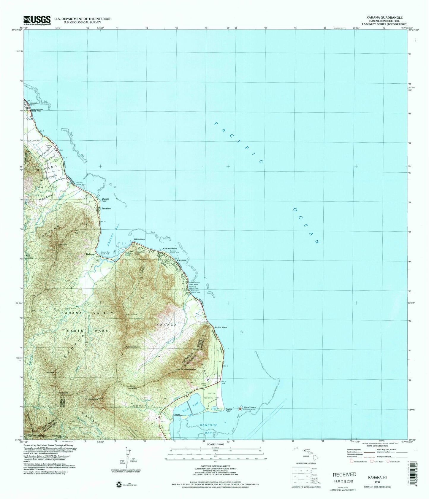
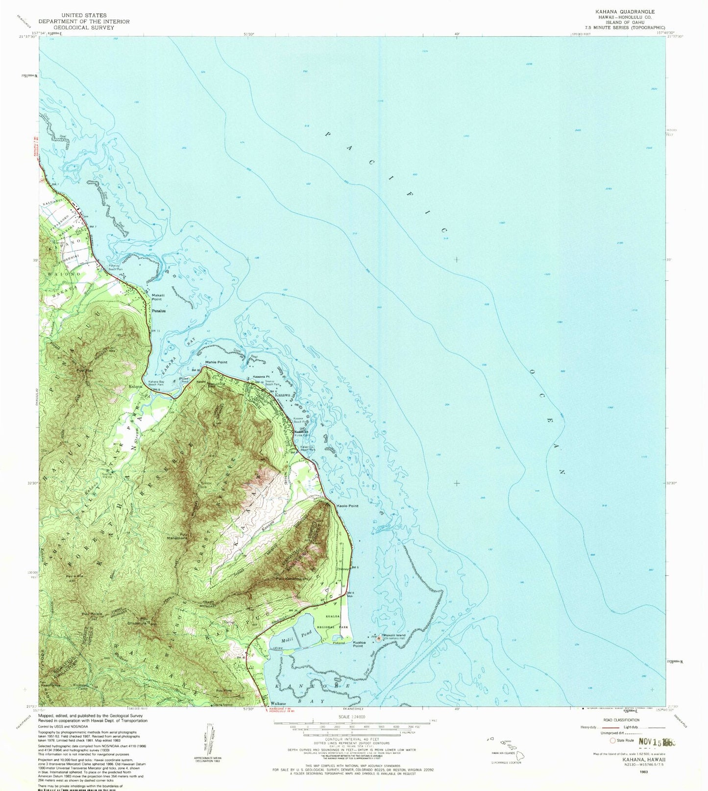
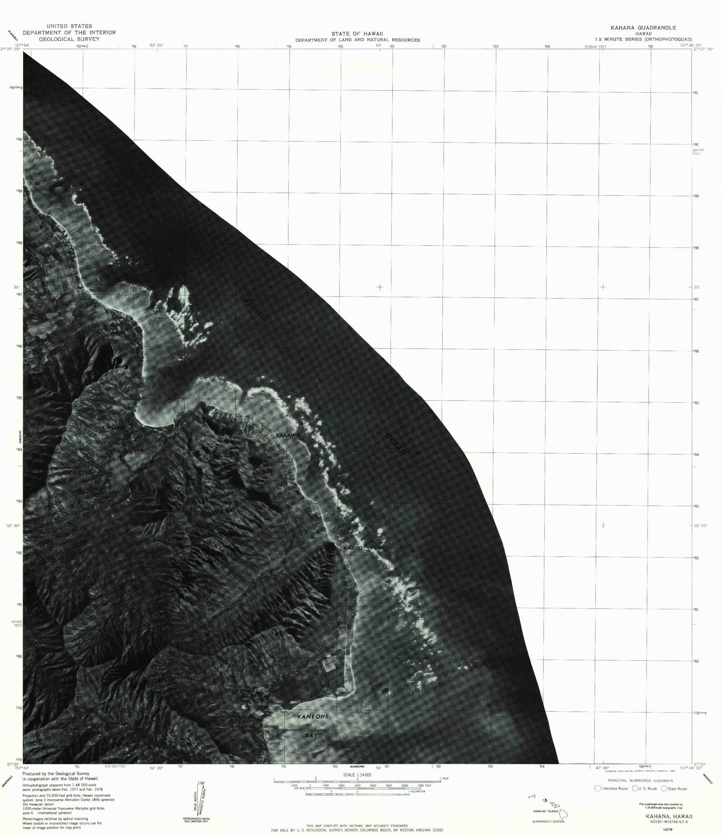
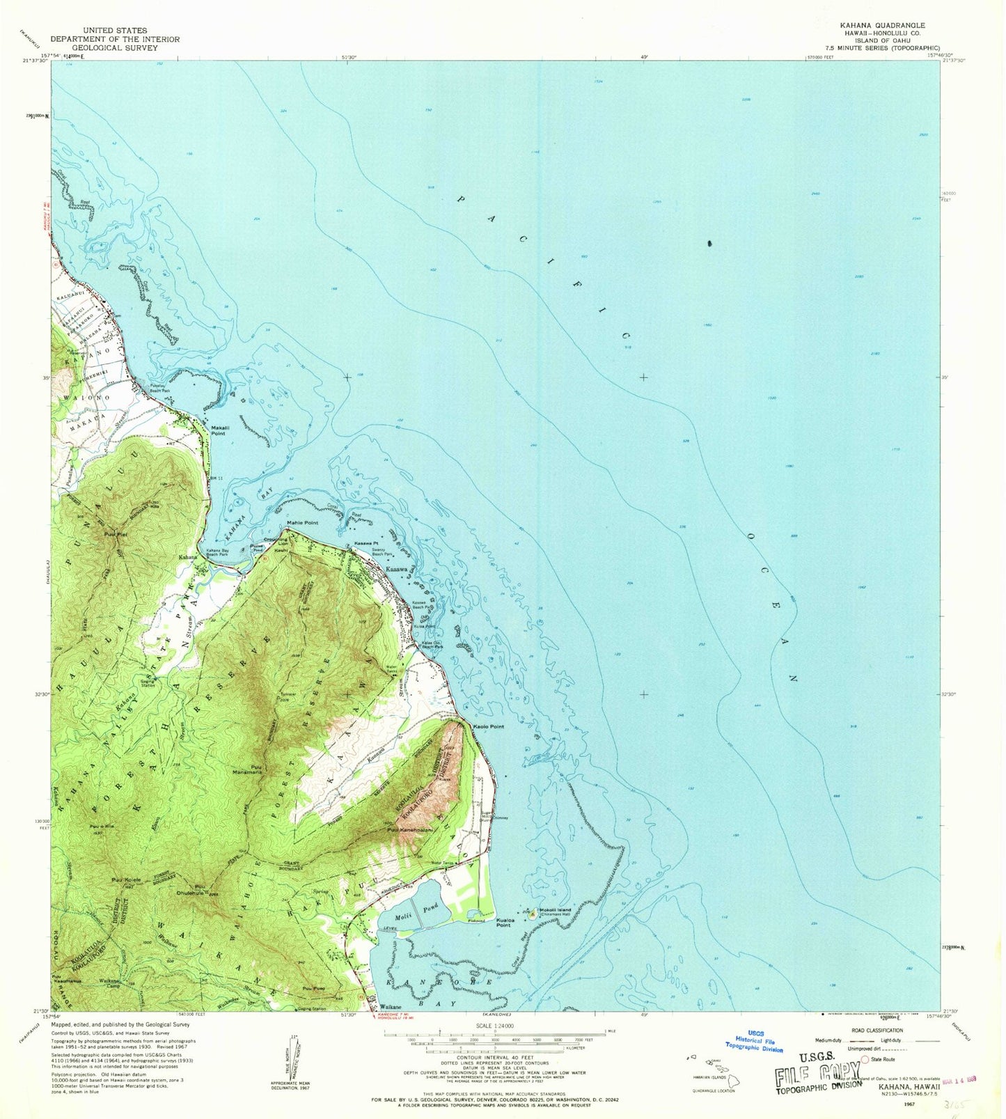
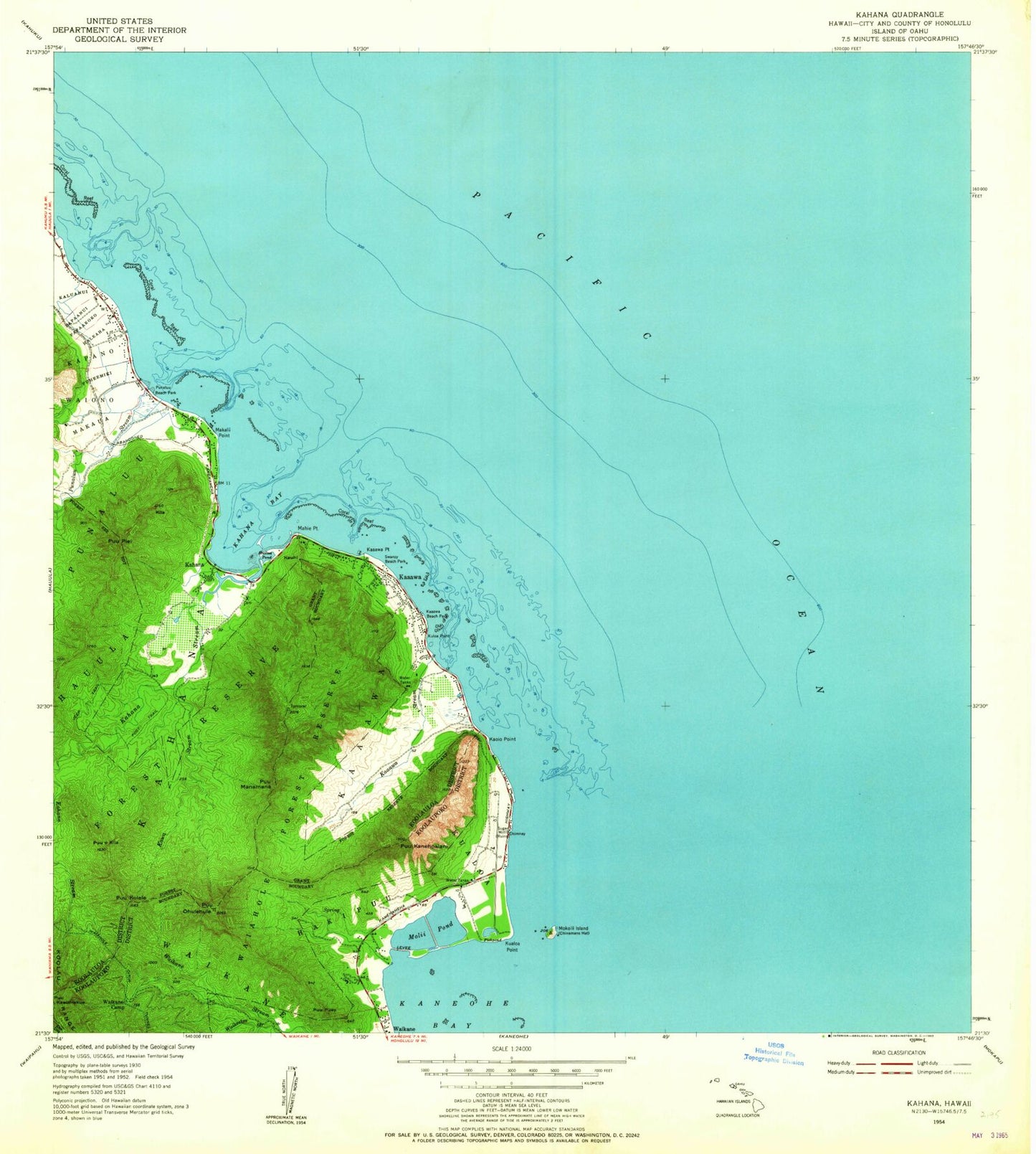
Classic USGS Kahana Hawaii 7.5'x7.5' Topo Map
Couldn't load pickup availability
Historical USGS topographic quad map of Kahana in the state of Hawaii. Map scale may vary for some years, but is generally around 1:24,000. Print size is approximately 24" x 27"
This quadrangle is in the following counties: Honolulu.
The map contains contour lines, roads, rivers, towns, and lakes. Printed on high-quality waterproof paper with UV fade-resistant inks, and shipped rolled.
Contains the following named places: Apua Fishpond, 'Apua Plain, Crouching Lion, Emergency Medical Services Unit Rapid Response District 2, Hakipu'u, Hale'aha, Honolulu Fire Department Station 21 Kaaawa, Huilua Pond, Ka'a'awa, Ka'a'awa Beach Park, Kaaawa Census Designated Place, Ka'a'awa Elementary School, Ka'a'awa Point, Kaaawa Post Office, Ka'a'awa Stream, Kahana, Kahana Bay, Kahana Bay Beach Park, Kahana Stream, Kahana Valley State Park, Kaiaka Bay, Kaiaka Channel, Kalae'o'io Beach Park, Kalaipaloa Point, Kalelepa, Kaluanui Beach, Kaluanui Channel, Kaluanui Stream, Kaluapuleho Point, Kanenelu Beach, Ka'o'io Point, Kapa'ele'ele Boat Ramp, Kapa'ele'ele Point, Kapano, Kauhi, Kawa Stream, Keaniani Point, Kila, Kualoa, Kualoa Army Air Field, Kualoa Point, Kualoa Ranch, Kualoa Ranch Heliport, Kualoa Regional Park, Kualoa Sugar Mill Beach, Kula Ahulili, Kuloa Point, Mahie Point, Maipuna Stream, Makahonu Point, Makaiwa, Makali'i Point, Makaua, Makaua Beach Park, Makaua Channel, Maliko, Mamalu Bay, Mokoli'i Island, Moli'i Pond, Papa'akoko, Papaanui, Puhala, Puhe'emiki, Punalu'u, Punalu'u Beach Park, Punaluu Census Designated Place, Punalu'u Channel, Punalu'u Stream, Puu Koiele, Pu'uka'aumakua, Pu'ukanehoalani, Pu'umanamana, Pu'u'ohulehule, Pu'u'okila, Pu'upiei, Shingle Channel, Swanzy Beach Park, Waikane Camp, Waikane Valley Impact Area, Wai'ono, ZIP Code: 96730
