MyTopo
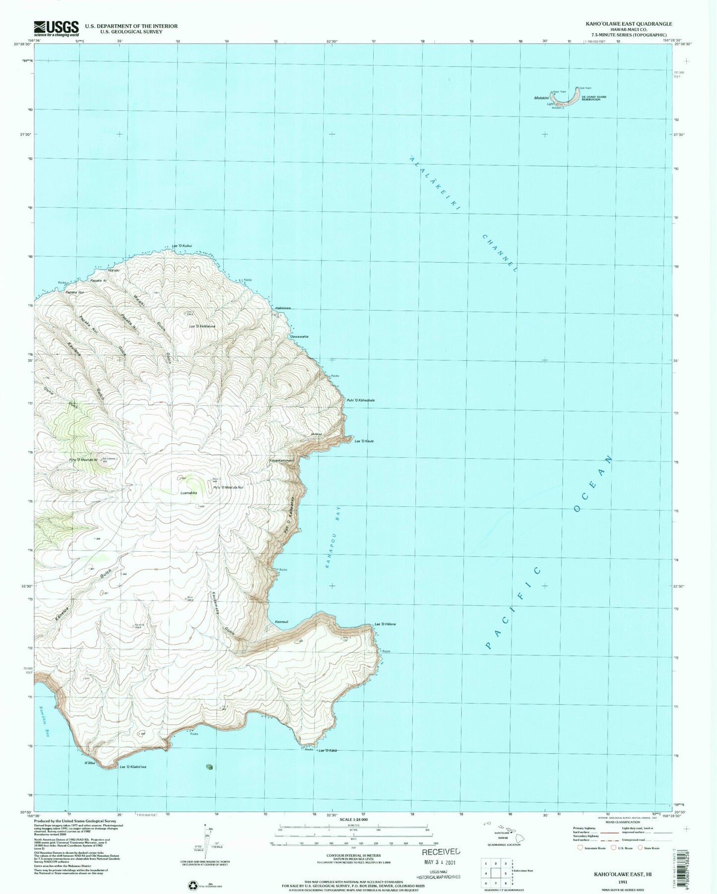
Classic USGS Kahoolawe East Hawaii 7.5'x7.5' Topo Map
Couldn't load pickup availability
Historical USGS topographic quad map of Kahoolawe East in the state of Hawaii. Map scale may vary for some years, but is generally around 1:24,000. Print size is approximately 24" x 27"
This quadrangle is in the following counties: Maui.
The map contains contour lines, roads, rivers, towns, and lakes. Printed on high-quality waterproof paper with UV fade-resistant inks, and shipped rolled.
Contains the following named places: Big Gulch, Hakioawa, HaleoPapa Heiau, Hulakao, 'Ili'ililoa, KaluaoKamohoali'i, Kamohio Bay, Kanapou Bay, Kaukamaka Gulch, Keoneuli, Lae 'O Halona, Lae 'O Kaka, Lae 'O Kaule, Lae 'O Kuaka'iwa, Lae 'O Kuikui, Lua 'O Kealialuna, Luamakika, Molokini, Molokini Shoal Marine Life Conservation District, 'Oawawahie, Pali 'O Kalapakea, Papaka Iki, Papaka Iki Gulch, Papaka Nui, Papaka Nui Gulch, Puhi 'O Koheohala, Pu'u 'O Moa'ula Iki, Pu'u 'O Moa'ula Nui, Wa'aiki, Wa'aiki Gulch